Industrial estate
Large, regular plots and wide internal roads make the industrial zone one of the most geometric areas of the map, contrasting with the town centre.
Minimalist map poster · India
28.9800° N / 79.4000° E
A Terai town of straight roads, industrial estates and farmland at the foot of the Kumaon hills

One city, five moods
Tap a style to see it on the wall. Every style costs the same — printed, framed or as HD files.
 Actual pixels · 24 × 36″ print file
Print-sharp
This is a 100% crop of the real print file. Every poster — printed, framed or downloaded — is rendered on our servers at 300 DPI, up to 7,200 × 10,800 pixels, so even the smallest lanes stay crisp on a 24 × 36″ print.
On the wall

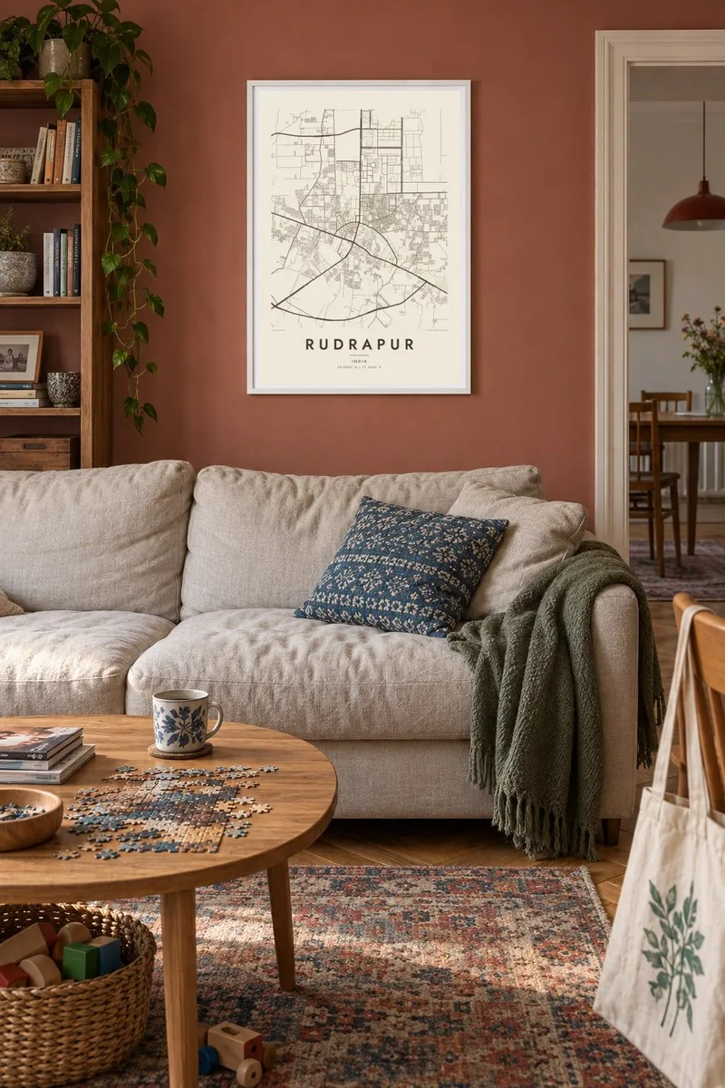

The map
Rudrapur lies in the Terai belt of Uttarakhand, the flat, fertile strip that runs along the base of the Himalayan foothills. It is the headquarters of Udham Singh Nagar district, and its map reflects the level ground: long straight roads, broad junctions and a steady spread of residential colonies across land that was farmland not long ago. Canals and farm roads continue the pattern into the countryside.
The town has grown strongly as an industrial centre, with a large state industrial estate attracting manufacturers of vehicles and consumer goods. Nearby Pantnagar is home to the G. B. Pant University of Agriculture and Technology, one of India's best-known agricultural universities, closely linked to the Green Revolution. Together they give the area a distinctly modern, productive character.
A Rudrapur map poster shows a town defined by growth on open land. The industrial estate appears as large rectangular plots, the town centre as a denser tangle of streets, and the surrounding fields as a geometric patchwork. In black and white, these contrasting textures sit together neatly, showing how the Terai has been reshaped by industry, farming and new housing.
Large, regular plots and wide internal roads make the industrial zone one of the most geometric areas of the map, contrasting with the town centre.
The level terrain allows long straight roads and regular farm divisions, which extend the map's clean lines far into the countryside.
The agricultural university's grounds lie close by, with research fields and campus roads forming a distinctive open area on the wider map.
Make it yours
Add a date, a name or a line of your own, switch style, size or orientation.
The free preview is low-resolution with a watermark. Prints and HD files are rendered at 300 DPI, up to 7,200 × 10,800 px, without a watermark.
Why Rudrapur
Rudrapur has drawn people from across India for work in its factories and colleges, and for many it has become home. A map poster of the town marks that move, simple in design yet specific to the streets you know.
Add a title, subtitle and coordinates, and choose one of five styles, from Classic black and white to Blueprint. Download six print sizes for $9 or order a matte printed poster, optionally in a wooden frame.
Order the Rudrapur poster| Print size | Resolution | Files |
|---|---|---|
| 30 × 40 cm11.8 × 15.7″ | 3,543 × 4,724 px | PNG · PDF |
| 29.7 × 42 cm (A3)11.7 × 16.5″ | 3,508 × 4,961 px | PNG · PDF |
| 42 × 59.4 cm (A2)16.5 × 23.4″ | 4,961 × 7,016 px | PNG · PDF |
| 45.7 × 61 cm18 × 24″ | 5,400 × 7,200 px | PNG · PDF |
| 50 × 70 cm19.7 × 27.6″ | 5,906 × 8,268 px | PNG · PDF |
| 61 × 91.4 cm24 × 36″ | 7,200 × 10,800 px | PNG · PDF |
For comparison, the free preview is 900 px wide, watermarked and meant for screens. The HD files have up to 8× the resolution in each direction and print cleanly at full poster size.
Pick a style at the top of the page, then choose Printed Poster — a size and, if you like, a frame — or Digital HD Files. Checkout takes one step, and your order page updates as soon as the payment goes through.
It is printed on premium 200 gsm matte paper in one of six sizes, from 30 × 40 cm to 24 × 36″. Printed posters start at $39, shipping included.
Yes. Choose a solid wood frame in black, white, natural oak or dark wood. It comes with shatterproof glazing and is ready to hang. Framed posters start at $99, shipping included.
Shipping is free to 60+ countries. Each poster is printed by the nearest of our print partners in 30+ countries and usually arrives in 3–7 business days. You can follow the status and tracking under My Orders. A few countries take 2–5 weeks, and where we don't ship yet, the site tells you before you pay.
Send us a photo within 14 days of delivery and we will reprint it for free or refund you.
Yes. In the editor on this page, change the title, the subtitle and the coordinates line to anything you like, and pick a style and size. Printed, framed and digital orders all use exactly your design.
For $9 you get 300 DPI PNG and print-ready PDF files in all six sizes, without a watermark, to print anywhere. Not sure yet? Download a free watermarked preview first.
Nearby
