Øresund link
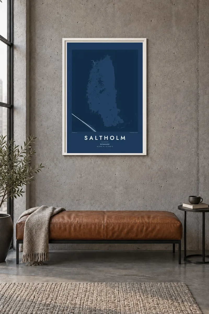
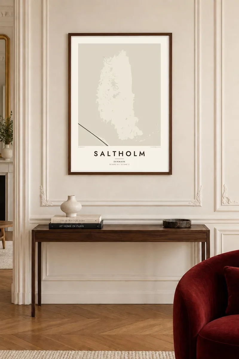
The straight line of the fixed connection runs past the island via Peberholm, a bold engineered stroke beside Saltholm's rounded coast.
Minimalist map poster · Denmark
55.6392° N / 12.7642° E
A flat, low island in the Øresund between Copenhagen and Malmö, bare of roads and set beside the bridge line.

One city, five moods
Tap a style to see it on the wall. Every style costs the same — printed, framed or as HD files.
 Actual pixels · 24 × 36″ print file
Print-sharp
This is a 100% crop of the real print file. Every poster — printed, framed or downloaded — is rendered on our servers at 300 DPI, up to 7,200 × 10,800 pixels, so even the smallest lanes stay crisp on a 24 × 36″ print.
On the wall

The island
Saltholm lies in the Øresund, the strait between Denmark and Sweden, just east of Copenhagen's island of Amager. On a map it is a broad, low island with smooth, rounded edges and almost no internal detail: there are no through roads, only a few farm buildings, and much of the land is grassland, marsh and shallow water.
Just to the south lies Peberholm, the artificial island built for the Øresund connection, where the tunnel from Copenhagen surfaces and the bridge to Sweden begins. The straight line of that fixed link passes close to Saltholm, a strong geometric contrast with the island's soft natural outline. Copenhagen Airport sits directly opposite on the Amager coast.
Saltholm is a protected bird area, and cattle are ferried over in spring to graze its meadows through the summer. In earlier centuries its limestone was quarried for building in Copenhagen. A Saltholm map poster places this near-empty island between Copenhagen and Malmö, a quiet space in one of the busiest waterways in Scandinavia.
The straight line of the fixed connection runs past the island via Peberholm, a bold engineered stroke beside Saltholm's rounded coast.
With no road network, the island appears as an almost blank shape, broken only by marshes, small ponds and a thin, gently curving shoreline.
Directly to the west, the runways of Kastrup on Amager form a neat pattern of straight lines, pairing the island with the city's gateway.
Make it yours
Add a date, a name or a line of your own, switch style, size or orientation.
The free preview is low-resolution with a watermark. Prints and HD files are rendered at 300 DPI, up to 7,200 × 10,800 px, without a watermark.
Why Saltholm
Commuters who cross the Øresund Bridge, Copenhageners who see the island from the Amager shore and birdwatchers who know its meadows will recognise this shape. The contrast between the flat island and the straight bridge makes a quietly modern composition.
Personalise the title, subtitle and coordinates line, and select Classic black & white, Noir, Paper, Blueprint or Sand. HD files in six sizes are $9, with a free 900 px preview first, or order a printed poster with an optional wooden frame.
Order the Saltholm poster| Print size | Resolution | Files |
|---|---|---|
| 30 × 40 cm11.8 × 15.7″ | 3,543 × 4,724 px | PNG · PDF |
| 29.7 × 42 cm (A3)11.7 × 16.5″ | 3,508 × 4,961 px | PNG · PDF |
| 42 × 59.4 cm (A2)16.5 × 23.4″ | 4,961 × 7,016 px | PNG · PDF |
| 45.7 × 61 cm18 × 24″ | 5,400 × 7,200 px | PNG · PDF |
| 50 × 70 cm19.7 × 27.6″ | 5,906 × 8,268 px | PNG · PDF |
| 61 × 91.4 cm24 × 36″ | 7,200 × 10,800 px | PNG · PDF |
For comparison, the free preview is 900 px wide, watermarked and meant for screens. The HD files have up to 8× the resolution in each direction and print cleanly at full poster size.
Pick a style at the top of the page, then choose Printed Poster — a size and, if you like, a frame — or Digital HD Files. Checkout takes one step, and your order page updates as soon as the payment goes through.
It is printed on premium 200 gsm matte paper in one of six sizes, from 30 × 40 cm to 24 × 36″. Printed posters start at $39, shipping included.
Yes. Choose a solid wood frame in black, white, natural oak or dark wood. It comes with shatterproof glazing and is ready to hang. Framed posters start at $99, shipping included.
Shipping is free to 60+ countries. Each poster is printed by the nearest of our print partners in 30+ countries and usually arrives in 3–7 business days. You can follow the status and tracking under My Orders. A few countries take 2–5 weeks, and where we don't ship yet, the site tells you before you pay.
Send us a photo within 14 days of delivery and we will reprint it for free or refund you.
Yes. In the editor on this page, change the title, the subtitle and the coordinates line to anything you like, and pick a style and size. Printed, framed and digital orders all use exactly your design.
For $9 you get 300 DPI PNG and print-ready PDF files in all six sizes, without a watermark, to print anywhere. Not sure yet? Download a free watermarked preview first.
Nearby
