Railway junction
Tracks and yards cut through the town and link it to Jabalpur, Prayagraj and Rewa. On the poster the rail corridor is a dominant line that divides the street pattern into distinct parts.
Minimalist map poster · India
24.5773° N / 80.8272° E
A railway town on the Vindhyan plateau, its streets gathered around a junction and edged by quarries and cement works.

One city, five moods
Tap a style to see it on the wall. Every style costs the same — printed, framed or as HD files.
 Actual pixels · 24 × 36″ print file
Print-sharp
This is a 100% crop of the real print file. Every poster — printed, framed or downloaded — is rendered on our servers at 300 DPI, up to 7,200 × 10,800 pixels, so even the smallest lanes stay crisp on a 24 × 36″ print.
On the wall
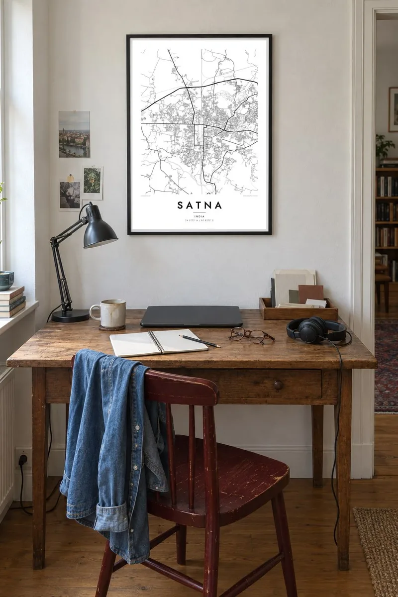


The map
Satna is a district headquarters in the north-east of Madhya Pradesh, not far from the border with Uttar Pradesh. Its map is organised by the railway: the main line between Jabalpur and Prayagraj passes through, with a branch toward Rewa, and the older bazaar streets cluster close to the station while newer colonies spread across open, gently sloping land beyond.
The town is best known for cement. The limestone of the surrounding Vindhyan rocks has supported several large cement plants, and the industry shapes the edges of the map with works, rail sidings and quarry pits. Satna also serves as a gateway to the pilgrim towns of Chitrakoot and Maihar, both reached by road or rail from here.
A Satna map poster shows a practical, working town rather than a monument city. In line form, the rail corridor becomes a strong axis, the bazaar lanes near the station tighten into a dense knot, and the outskirts open into widely spaced roads, with the small Satna River and its side channels marking the lower ground.
Tracks and yards cut through the town and link it to Jabalpur, Prayagraj and Rewa. On the poster the rail corridor is a dominant line that divides the street pattern into distinct parts.
The small river that gives the town its name winds past the built-up area. Its irregular course provides a soft natural line alongside the straighter roads and rail tracks.
Around the town, plants, rail sidings and quarries leave large geometric shapes in the landscape. They appear on the map as open blocks and spurs at the margins of the built-up area.
Make it yours
Add a date, a name or a line of your own, switch style, size or orientation.
The free preview is low-resolution with a watermark. Prints and HD files are rendered at 300 DPI, up to 7,200 × 10,800 px, without a watermark.
Why Satna
Satna means a lot to people whose working lives turned on the cement plants or the railway, and to families who passed through on the way to Chitrakoot or Maihar. The map offers a quiet, precise record of a town that is often seen only from a train window.
Put your own words in the title and subtitle, perhaps a colony name or the year you moved there, and adjust the coordinates line. Select one of five styles, check the free watermarked preview, then buy $9 HD files as 300 DPI PNG and print-ready PDF in six sizes.
Order the Satna poster| Print size | Resolution | Files |
|---|---|---|
| 30 × 40 cm11.8 × 15.7″ | 3,543 × 4,724 px | PNG · PDF |
| 29.7 × 42 cm (A3)11.7 × 16.5″ | 3,508 × 4,961 px | PNG · PDF |
| 42 × 59.4 cm (A2)16.5 × 23.4″ | 4,961 × 7,016 px | PNG · PDF |
| 45.7 × 61 cm18 × 24″ | 5,400 × 7,200 px | PNG · PDF |
| 50 × 70 cm19.7 × 27.6″ | 5,906 × 8,268 px | PNG · PDF |
| 61 × 91.4 cm24 × 36″ | 7,200 × 10,800 px | PNG · PDF |
For comparison, the free preview is 900 px wide, watermarked and meant for screens. The HD files have up to 8× the resolution in each direction and print cleanly at full poster size.
Pick a style at the top of the page, then choose Printed Poster — a size and, if you like, a frame — or Digital HD Files. Checkout takes one step, and your order page updates as soon as the payment goes through.
It is printed on premium 200 gsm matte paper in one of six sizes, from 30 × 40 cm to 24 × 36″. Printed posters start at $39, shipping included.
Yes. Choose a solid wood frame in black, white, natural oak or dark wood. It comes with shatterproof glazing and is ready to hang. Framed posters start at $99, shipping included.
Shipping is free to 60+ countries. Each poster is printed by the nearest of our print partners in 30+ countries and usually arrives in 3–7 business days. You can follow the status and tracking under My Orders. A few countries take 2–5 weeks, and where we don't ship yet, the site tells you before you pay.
Send us a photo within 14 days of delivery and we will reprint it for free or refund you.
Yes. In the editor on this page, change the title, the subtitle and the coordinates line to anything you like, and pick a style and size. Printed, framed and digital orders all use exactly your design.
For $9 you get 300 DPI PNG and print-ready PDF files in all six sizes, without a watermark, to print anywhere. Not sure yet? Download a free watermarked preview first.
Nearby
