Cul-de-sac clusters
Residential subdivisions form tight groups of looping streets and dead ends, creating a repeating, organic pattern that looks almost botanical when drawn in fine black lines.
Minimalist map poster · United States
39.1371° N / 76.6983° W
A suburban community of curving streets and cul-de-sacs, set between Baltimore's airport and Fort Meade in Anne Arundel County.

One city, five moods
Tap a style to see it on the wall. Every style costs the same — printed, framed or as HD files.
 Actual pixels · 24 × 36″ print file
Print-sharp
This is a 100% crop of the real print file. Every poster — printed, framed or downloaded — is rendered on our servers at 300 DPI, up to 7,200 × 10,800 pixels, so even the smallest lanes stay crisp on a 24 × 36″ print.
On the wall
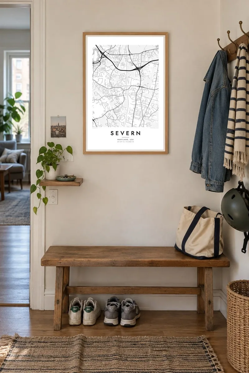

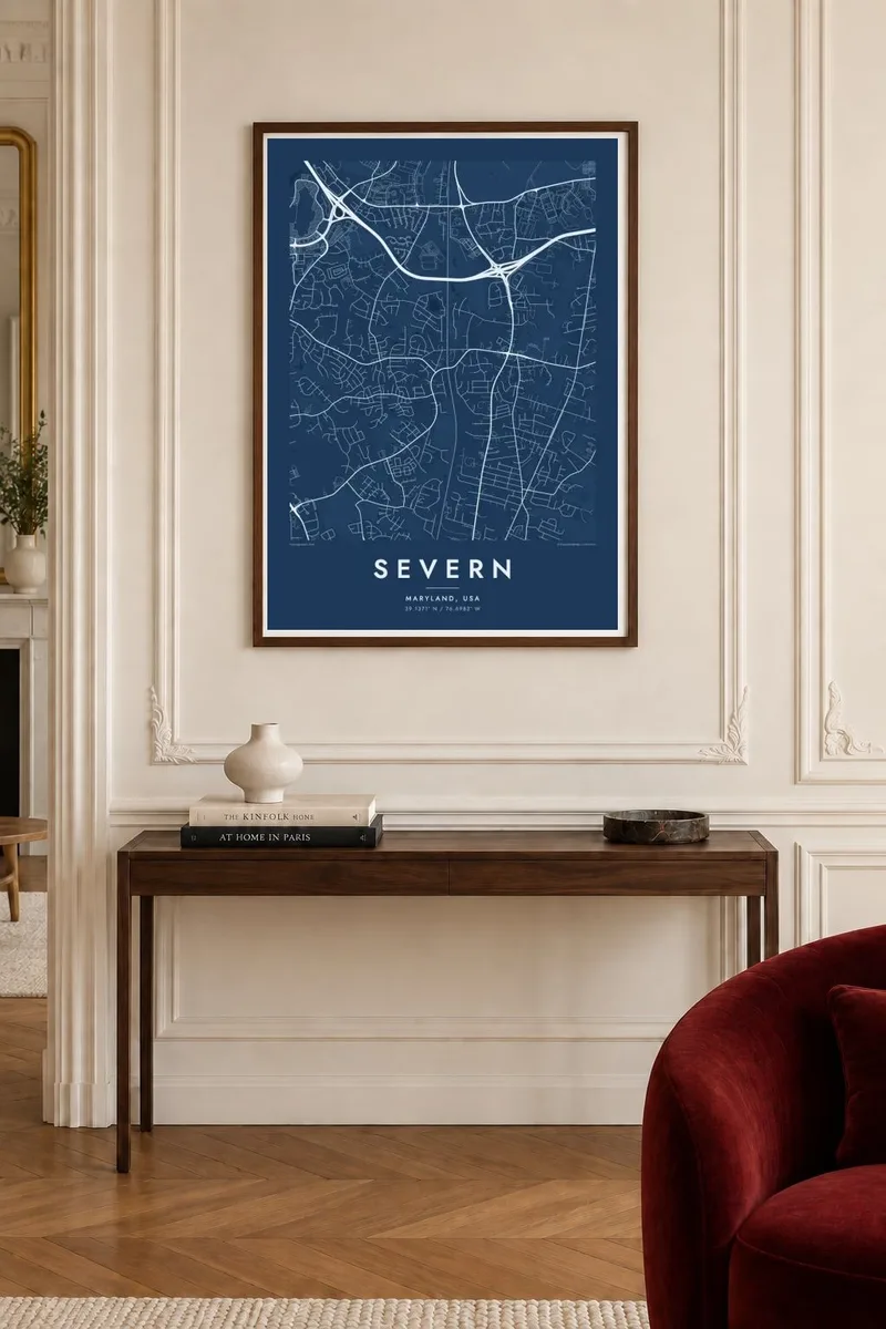
The map
Severn is an unincorporated community in Anne Arundel County, Maryland, lying between Baltimore and Annapolis. The map shows a typical pattern of American postwar and later suburbs: looping residential streets, cul-de-sacs branching off collector roads, and pockets of woodland and streams between subdivisions. Major highways and a rail corridor run along its edges.
Its location explains much of its growth. Baltimore/Washington International Airport lies just to the north-east, and the army installation of Fort Meade is close by, so the area has long housed people who work at one or the other, as well as commuters to both Baltimore and Washington.
A Severn map poster turns this suburban pattern into something unexpectedly graphic. The curving streets form small clusters like leaves on a branch, the highways cut straight lines through them, and the green gaps give the design room to breathe. It is a portrait of a neighbourhood as the people who live there actually know it, one street at a time.
Residential subdivisions form tight groups of looping streets and dead ends, creating a repeating, organic pattern that looks almost botanical when drawn in fine black lines.
The airport lies just north-east of Severn, and on a wider framing its runways appear as long, bold strokes beside the softer curves of the neighbourhoods.
Small streams and wooded strips run between the subdivisions, leaving pale gaps in the street pattern that separate one neighbourhood from the next.
Make it yours
Add a date, a name or a line of your own, switch style, size or orientation.
The free preview is low-resolution with a watermark. Prints and HD files are rendered at 300 DPI, up to 7,200 × 10,800 px, without a watermark.
Why Severn
Many people arrive in Severn on a military posting or an early career move, and a map is a practical way to remember a first house or the street where children grew up. It also makes a thoughtful housewarming gift for a new homeowner in the area.
Set the title, subtitle and coordinates line to a family name, an address or a move-in date, and choose Classic black & white, Noir, Paper, Blueprint or Sand. Order a printed poster on matte paper, framed or unframed, or download the HD files for local printing.
Order the Severn poster| Print size | Resolution | Files |
|---|---|---|
| 30 × 40 cm11.8 × 15.7″ | 3,543 × 4,724 px | PNG · PDF |
| 29.7 × 42 cm (A3)11.7 × 16.5″ | 3,508 × 4,961 px | PNG · PDF |
| 42 × 59.4 cm (A2)16.5 × 23.4″ | 4,961 × 7,016 px | PNG · PDF |
| 45.7 × 61 cm18 × 24″ | 5,400 × 7,200 px | PNG · PDF |
| 50 × 70 cm19.7 × 27.6″ | 5,906 × 8,268 px | PNG · PDF |
| 61 × 91.4 cm24 × 36″ | 7,200 × 10,800 px | PNG · PDF |
For comparison, the free preview is 900 px wide, watermarked and meant for screens. The HD files have up to 8× the resolution in each direction and print cleanly at full poster size.
Pick a style at the top of the page, then choose Printed Poster — a size and, if you like, a frame — or Digital HD Files. Checkout takes one step, and your order page updates as soon as the payment goes through.
It is printed on premium 200 gsm matte paper in one of six sizes, from 30 × 40 cm to 24 × 36″. Printed posters start at $39, shipping included.
Yes. Choose a solid wood frame in black, white, natural oak or dark wood. It comes with shatterproof glazing and is ready to hang. Framed posters start at $99, shipping included.
Shipping is free to 60+ countries. Each poster is printed by the nearest of our print partners in 30+ countries and usually arrives in 3–7 business days. You can follow the status and tracking under My Orders. A few countries take 2–5 weeks, and where we don't ship yet, the site tells you before you pay.
Send us a photo within 14 days of delivery and we will reprint it for free or refund you.
Yes. In the editor on this page, change the title, the subtitle and the coordinates line to anything you like, and pick a style and size. Printed, framed and digital orders all use exactly your design.
For $9 you get 300 DPI PNG and print-ready PDF files in all six sizes, without a watermark, to print anywhere. Not sure yet? Download a free watermarked preview first.
Nearby
