Taiping Lake Gardens
Former mining pools were turned into public gardens in the 1880s, and their irregular lakes and islands make the most recognisable shape anywhere on the map.
Minimalist map poster · Malaysia
4.8500° N / 100.7333° E
An old tin-mining town beneath forested hills, its shophouse grid set beside lakes that were once mining pools.

One city, five moods
Tap a style to see it on the wall. Every style costs the same — printed, framed or as HD files.
 Actual pixels · 24 × 36″ print file
Print-sharp
This is a 100% crop of the real print file. Every poster — printed, framed or downloaded — is rendered on our servers at 300 DPI, up to 7,200 × 10,800 pixels, so even the smallest lanes stay crisp on a 24 × 36″ print.
On the wall

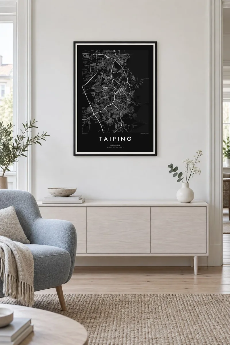
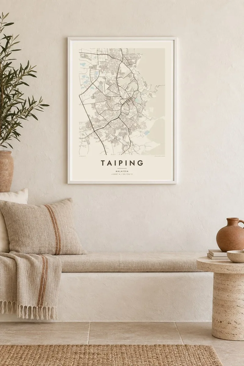
The map
Taiping grew rapidly in the nineteenth century as the centre of the Larut tin fields in Perak. The town centre keeps the plan of that era: a tidy grid of shophouse streets with covered walkways, laid out on flat land at the foot of the Bintang range. Government buildings, schools and churches from the colonial period sit around its edges, adding larger, more open plots to the tight commercial blocks.
East of the centre lie the Taiping Lake Gardens, laid out in the 1880s on abandoned tin mining land and generally regarded as the oldest public garden in Malaysia. Their irregular lakes, islands and rain trees form the most distinctive shape on the map. Above them rises Bukit Larut, formerly Maxwell Hill, a hill station reached by a narrow winding road through the forest.
Taiping is known as one of the wettest towns in the country, and it was the terminus of Malaysia's first railway, opened in 1885 to carry tin to Port Weld. A Taiping map poster captures the gentle contrast between the orderly town grid, the soft outlines of the lakes and the steep, green slopes behind them.
Former mining pools were turned into public gardens in the 1880s, and their irregular lakes and islands make the most recognisable shape anywhere on the map.
The compact nineteenth-century centre follows a regular grid of streets lined with shophouses, a dense, even pattern that contrasts with the organic lakes nearby.
The former Maxwell Hill rises behind the town, its single winding access road tracing tight curves up the forested slope above the gardens.
Make it yours
Add a date, a name or a line of your own, switch style, size or orientation.
The free preview is low-resolution with a watermark. Prints and HD files are rendered at 300 DPI, up to 7,200 × 10,800 px, without a watermark.
Why Taiping
Taiping has a loyal following among people who grew up there and visitors who remember misty mornings by the lakes. Its map combines geometry and softness in a way few towns manage, which makes it an easy piece to live with on a wall.
Personalise the title, subtitle and coordinates, perhaps with a school name or the year you moved. Choose from Classic black & white, Noir, Paper, Blueprint and Sand. Download print-ready files for $9 or have a matte poster printed by a partner near you.
Order the Taiping poster| Print size | Resolution | Files |
|---|---|---|
| 30 × 40 cm11.8 × 15.7″ | 3,543 × 4,724 px | PNG · PDF |
| 29.7 × 42 cm (A3)11.7 × 16.5″ | 3,508 × 4,961 px | PNG · PDF |
| 42 × 59.4 cm (A2)16.5 × 23.4″ | 4,961 × 7,016 px | PNG · PDF |
| 45.7 × 61 cm18 × 24″ | 5,400 × 7,200 px | PNG · PDF |
| 50 × 70 cm19.7 × 27.6″ | 5,906 × 8,268 px | PNG · PDF |
| 61 × 91.4 cm24 × 36″ | 7,200 × 10,800 px | PNG · PDF |
For comparison, the free preview is 900 px wide, watermarked and meant for screens. The HD files have up to 8× the resolution in each direction and print cleanly at full poster size.
Pick a style at the top of the page, then choose Printed Poster — a size and, if you like, a frame — or Digital HD Files. Checkout takes one step, and your order page updates as soon as the payment goes through.
It is printed on premium 200 gsm matte paper in one of six sizes, from 30 × 40 cm to 24 × 36″. Printed posters start at $39, shipping included.
Yes. Choose a solid wood frame in black, white, natural oak or dark wood. It comes with shatterproof glazing and is ready to hang. Framed posters start at $99, shipping included.
Shipping is free to 60+ countries. Each poster is printed by the nearest of our print partners in 30+ countries and usually arrives in 3–7 business days. You can follow the status and tracking under My Orders. A few countries take 2–5 weeks, and where we don't ship yet, the site tells you before you pay.
Send us a photo within 14 days of delivery and we will reprint it for free or refund you.
Yes. In the editor on this page, change the title, the subtitle and the coordinates line to anything you like, and pick a style and size. Printed, framed and digital orders all use exactly your design.
For $9 you get 300 DPI PNG and print-ready PDF files in all six sizes, without a watermark, to print anywhere. Not sure yet? Download a free watermarked preview first.
Nearby
