Delta canals
Several irrigation canals run through Tenali, drawn as long, clean lines crossing the town and continuing into the fields, the feature that gives its map an unmistakable look.
Minimalist map poster · India
A canal town in the Krishna delta, where irrigation channels cut long lines through its streets and surrounding fields.
16.2425° N / 80.6398° E


One city, five moods
Tap a style to see it on the wall. Every style is included in the same $9 price.
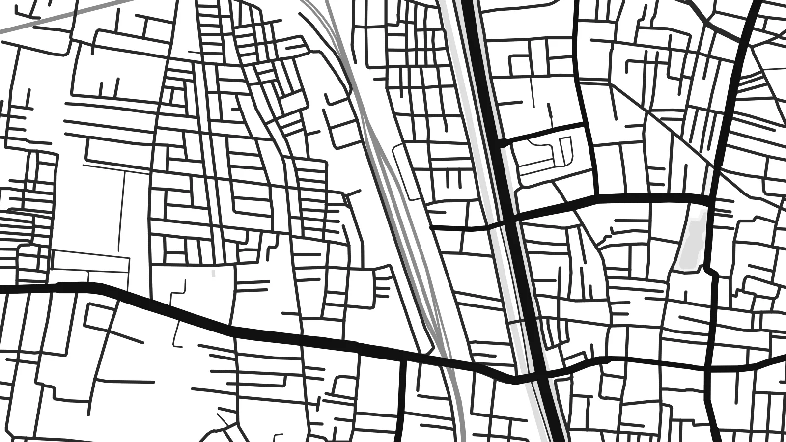 Actual pixels · 24 × 36″ HD file
Print-sharp
This is a crop of the real HD file at 100%. The paid download is rendered on our servers at 300 DPI, up to 7,200 × 10,800 pixels, so even the smallest lanes stay crisp on a 24 × 36″ print.
The map
Thenali, more often written Tenali, lies in Andhra Pradesh in the fertile delta country of the Krishna River. The map is dominated by water engineered for farming: irrigation canals from the delta system pass through and around the town, crossing the streets in long straight or gently curving lines. Between them, the town fills a compact area bordered on all sides by paddy fields.
The canals once earned the town a nickname, the 'Paris of Andhra', a reference to the waterways running through it. Tenali is also a railway junction on the main line between Vijayawada and Chennai, and the tracks form strong diagonals across the map, meeting at the junction and dividing the town into distinct sections.
The town is linked in popular memory to Tenali Ramakrishna, the witty poet of the Vijayanagara court whose stories are still told across South India. A Thenali map poster shows a delta town in its setting: canals, railway lines and a dense core of streets, all held within wide, flat agricultural land.
Several irrigation canals run through Tenali, drawn as long, clean lines crossing the town and continuing into the fields, the feature that gives its map an unmistakable look.
Rail lines converge on Tenali Junction from different directions, forming broad strokes across the sheet and separating one part of town from another.
Beyond the built area, the delta's flat farmland stretches in every direction, crossed by smaller channels and field roads that leave a calm, open border around the town.
Make it yours
Add a date, a name or a line of your own, switch style, size or orientation.
Free preview is low-resolution with a watermark. The HD version is 7,200 × 10,800 px, 300 DPI, no watermark.
Why Thenali
Tenali is a place many families in coastal Andhra and the wider Telugu diaspora are tied to, whether through family, school or the railway. Its canal lines give the poster a distinctive graphic structure, clearly different from any other town.
Add a title of your own, a subtitle and the coordinates, then choose one of five styles; Blueprint suits the canals. Digital files cost $9 for six sizes, and matte printed posters ship from partners in more than 30 countries.
Get the Thenali poster — $9| Print size | Resolution | Files |
|---|---|---|
| 30 × 40 cm | 3,543 × 4,724 px | PNG · PDF |
| 50 × 70 cm | 5,906 × 8,268 px | PNG · PDF |
| A3 · 29.7 × 42 cm | 3,508 × 4,961 px | PNG · PDF |
| A2 · 42 × 59.4 cm | 4,961 × 7,016 px | PNG · PDF |
| 18 × 24" | 5,400 × 7,200 px | PNG · PDF |
| 24 × 36" | 7,200 × 10,800 px | PNG · PDF |
For comparison, the free preview is 900 px wide, watermarked and meant for screens. The HD files have up to 8× the resolution in each direction and print cleanly at full poster size.
Yes. Drag and zoom the map in the editor — centre it on your neighbourhood, the old town or the whole metro area. The text updates independently.
The HD purchase includes 30×40 cm, 50×70 cm, A3, A2, 18×24″ and 24×36″, each as a 300 DPI PNG and a print-ready PDF.
You can download a free 900 px preview with a watermark. The paid HD files have no watermark and are sharp enough for large prints.
Send the PDF to any local print shop or online printing service and ask for the matching paper size. Matte paper and a thin black or oak frame suit this style best.
Nearby
