Gott Bay
A broad curve of sand on the south-eastern side near Scarinish, where the ferry pier stands. It is one of the longest beaches on the island and a clean arc on the map.
Minimalist map poster · United Kingdom
56.4984° N / 6.8612° W
A low, wind-scoured Hebridean island of machair, sweeping bays and scattered crofts, flat enough to see almost end to end.

One city, five moods
Tap a style to see it on the wall. Every style costs the same — printed, framed or as HD files.
 Actual pixels · 24 × 36″ print file
Print-sharp
This is a 100% crop of the real print file. Every poster — printed, framed or downloaded — is rendered on our servers at 300 DPI, up to 7,200 × 10,800 pixels, so even the smallest lanes stay crisp on a 24 × 36″ print.
On the wall
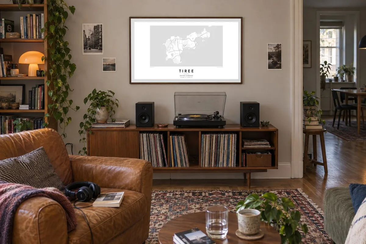

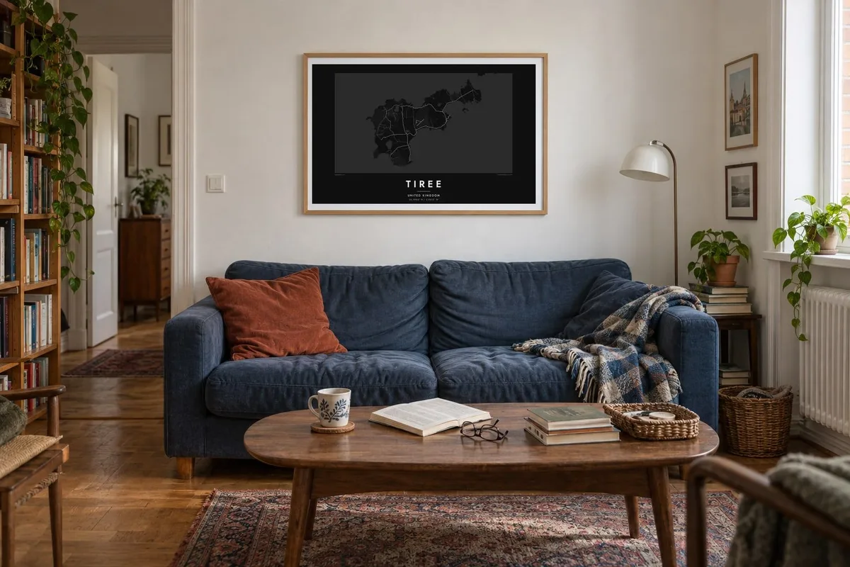
The island
Tiree is the most westerly island of the Inner Hebrides, and one of the flattest. Its Gaelic nickname calls it the land below the waves, and from above the reason is clear: apart from a few hills at its western end, the island barely rises from the sea. Its outline is a long, irregular shape fringed by wide sandy bays.
Behind the beaches lies machair, the fertile, flower-rich grassland typical of the Atlantic Hebrides, and a loose network of single-track roads runs across it, linking townships and crofts. There is no real town. Scarinish, near the ferry pier on Gott Bay, is the main village. The island is famous for its sunshine records and steady wind, which have made it a well-known windsurfing destination.
The roads never form a grid, and that is part of the appeal of a Tiree map poster. Thin lines wander between lochans and bays, and the houses are spread evenly across the land instead of clustered together. The result is spacious and airy, a map with as much open ground as ink, which matches how the island feels on a clear day.
A broad curve of sand on the south-eastern side near Scarinish, where the ferry pier stands. It is one of the longest beaches on the island and a clean arc on the map.
The only real high ground, Ben Hynish and Beinn Hough, rises at the western end. It gives the island's otherwise level map a quiet sense of weight on one side.
There is no single centre. Houses string out along the roads through many small townships, so settlement on the map looks like a fine, even scattering of points.
Make it yours
Add a date, a name or a line of your own, switch style, size or orientation.
The free preview is low-resolution with a watermark. Prints and HD files are rendered at 300 DPI, up to 7,200 × 10,800 px, without a watermark.
Why Tiree
Tiree is loved by windsurfers, birders, holidaymakers who return every summer and families with roots in its crofting townships. Its low, open outline captures the light and space people remember, and it suits a wall where a busy city plan would feel too crowded.
Set your own title and subtitle, such as a family name or the year of a first visit, and edit the coordinates line. There are five styles to choose from, among them Paper and Sand, which suit the machair. HD files cost $9 across six sizes, and printed matte posters with an optional wooden frame are also available.
Order the Tiree poster| Print size | Resolution | Files |
|---|---|---|
| 30 × 40 cm11.8 × 15.7″ | 3,543 × 4,724 px | PNG · PDF |
| 29.7 × 42 cm (A3)11.7 × 16.5″ | 3,508 × 4,961 px | PNG · PDF |
| 42 × 59.4 cm (A2)16.5 × 23.4″ | 4,961 × 7,016 px | PNG · PDF |
| 45.7 × 61 cm18 × 24″ | 5,400 × 7,200 px | PNG · PDF |
| 50 × 70 cm19.7 × 27.6″ | 5,906 × 8,268 px | PNG · PDF |
| 61 × 91.4 cm24 × 36″ | 7,200 × 10,800 px | PNG · PDF |
For comparison, the free preview is 900 px wide, watermarked and meant for screens. The HD files have up to 8× the resolution in each direction and print cleanly at full poster size.
Pick a style at the top of the page, then choose Printed Poster — a size and, if you like, a frame — or Digital HD Files. Checkout takes one step, and your order page updates as soon as the payment goes through.
It is printed on premium 200 gsm matte paper in one of six sizes, from 30 × 40 cm to 24 × 36″. Printed posters start at $39, shipping included.
Yes. Choose a solid wood frame in black, white, natural oak or dark wood. It comes with shatterproof glazing and is ready to hang. Framed posters start at $99, shipping included.
Shipping is free to 60+ countries. Each poster is printed by the nearest of our print partners in 30+ countries and usually arrives in 3–7 business days. You can follow the status and tracking under My Orders. A few countries take 2–5 weeks, and where we don't ship yet, the site tells you before you pay.
Send us a photo within 14 days of delivery and we will reprint it for free or refund you.
Yes. In the editor on this page, change the title, the subtitle and the coordinates line to anything you like, and pick a style and size. Printed, framed and digital orders all use exactly your design.
For $9 you get 300 DPI PNG and print-ready PDF files in all six sizes, without a watermark, to print anywhere. Not sure yet? Download a free watermarked preview first.
Nearby
