Lake Toba shoreline
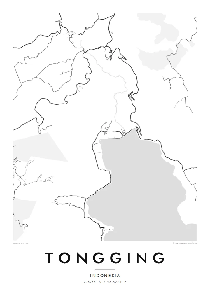
The northern shore of the lake curves past Tongging. On the poster the water is a wide, calm area that sets off the thin line of settlement along its edge.
Minimalist map poster · Indonesia
2.8985° N / 98.5231° E
A lakeshore village on the northern tip of Lake Toba, pressed between steep caldera walls and open water
One city, five moods
Tap a style to see it on the wall. Every style costs the same — printed, framed or as HD files.
 Actual pixels · 24 × 36″ print file
Print-sharp
This is a 100% crop of the real print file. Every poster — printed, framed or downloaded — is rendered on our servers at 300 DPI, up to 7,200 × 10,800 pixels, so even the smallest lanes stay crisp on a 24 × 36″ print.
On the wall


The map
Tongging lies at the northern end of Lake Toba in North Sumatra, the largest volcanic lake in the world. The lake fills the caldera of a vast eruption that took place tens of thousands of years ago. At Tongging the land drops steeply from the caldera rim to a narrow strip of flat ground at the water's edge, and the village occupies that strip.
On a map the shoreline is the main feature. A few roads zigzag down the slope from the highlands above, and houses and fields line the lakeside road. The Sipiso-piso waterfall, one of the best-known sights around Toba, drops from the rim not far from the village, and the area is a common starting point for views over the northern part of the lake.
A Tongging map poster works mostly with open space. The lake takes up a large part of the frame, bordered by a fine band of streets and the tight curves of the roads climbing the slope. The effect is spare and calm, and it shows clearly how the village depends on the narrow ground between the cliff and the water.
The northern shore of the lake curves past Tongging. On the poster the water is a wide, calm area that sets off the thin line of settlement along its edge.
The roads down from the caldera rim bend back and forth across the steep slope. Their tight zigzags are one of the most distinctive shapes on the map.
Above the village the ground rises sharply to the highland plateau. The change from shore to rim is visible in how suddenly the roads and settlements end.
Make it yours
Add a date, a name or a line of your own, switch style, size or orientation.
The free preview is low-resolution with a watermark. Prints and HD files are rendered at 300 DPI, up to 7,200 × 10,800 px, without a watermark.
Why Tongging
Tongging is a place many visitors remember for the view from the rim down to the lake. A map poster keeps that geography on the wall, which suits a travel memory or a family connection to North Sumatra.
Personalise the title and subtitle, perhaps with the date of a trip, and keep or edit the coordinates line. The lake looks especially striking in Noir or Blueprint, but all five styles are available.
Order the Tongging poster| Print size | Resolution | Files |
|---|---|---|
| 30 × 40 cm11.8 × 15.7″ | 3,543 × 4,724 px | PNG · PDF |
| 29.7 × 42 cm (A3)11.7 × 16.5″ | 3,508 × 4,961 px | PNG · PDF |
| 42 × 59.4 cm (A2)16.5 × 23.4″ | 4,961 × 7,016 px | PNG · PDF |
| 45.7 × 61 cm18 × 24″ | 5,400 × 7,200 px | PNG · PDF |
| 50 × 70 cm19.7 × 27.6″ | 5,906 × 8,268 px | PNG · PDF |
| 61 × 91.4 cm24 × 36″ | 7,200 × 10,800 px | PNG · PDF |
For comparison, the free preview is 900 px wide, watermarked and meant for screens. The HD files have up to 8× the resolution in each direction and print cleanly at full poster size.
Pick a style at the top of the page, then choose Printed Poster — a size and, if you like, a frame — or Digital HD Files. Checkout takes one step, and your order page updates as soon as the payment goes through.
It is printed on premium 200 gsm matte paper in one of six sizes, from 30 × 40 cm to 24 × 36″. Printed posters start at $39, shipping included.
Yes. Choose a solid wood frame in black, white, natural oak or dark wood. It comes with shatterproof glazing and is ready to hang. Framed posters start at $99, shipping included.
Shipping is free to 60+ countries. Each poster is printed by the nearest of our print partners in 30+ countries and usually arrives in 3–7 business days. You can follow the status and tracking under My Orders. A few countries take 2–5 weeks, and where we don't ship yet, the site tells you before you pay.
Send us a photo within 14 days of delivery and we will reprint it for free or refund you.
Yes. In the editor on this page, change the title, the subtitle and the coordinates line to anything you like, and pick a style and size. Printed, framed and digital orders all use exactly your design.
For $9 you get 300 DPI PNG and print-ready PDF files in all six sizes, without a watermark, to print anywhere. Not sure yet? Download a free watermarked preview first.
Nearby
