Yeşilırmak bends
The river meanders across the plain beside the town. Its loops and side channels form the longest continuous line on the map and set the direction of the whole valley.
Minimalist map poster · Turkey
40.3875° N / 36.0811° E
A river town on the Yeşilırmak, with its railway and long industrial past stretched along the valley floor.

One city, five moods
Tap a style to see it on the wall. Every style costs the same — printed, framed or as HD files.
 Actual pixels · 24 × 36″ print file
Print-sharp
This is a 100% crop of the real print file. Every poster — printed, framed or downloaded — is rendered on our servers at 300 DPI, up to 7,200 × 10,800 pixels, so even the smallest lanes stay crisp on a 24 × 36″ print.
On the wall
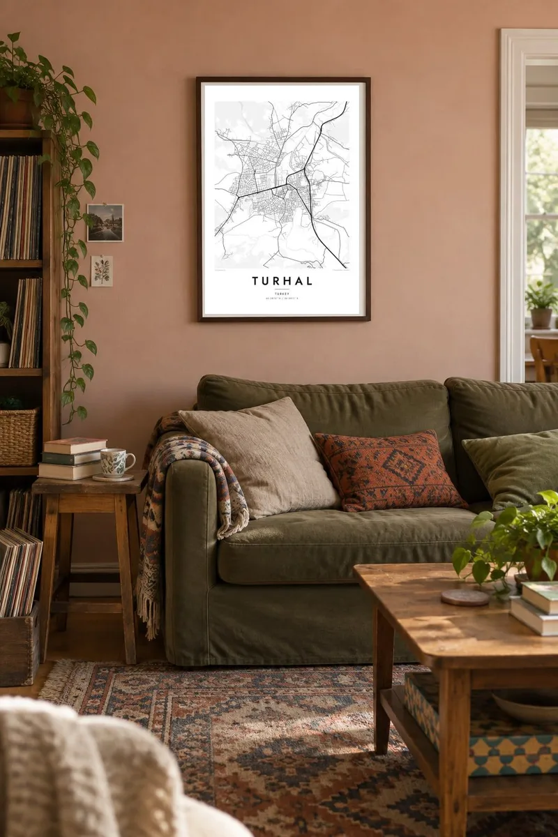


The map
Turhal lies in the valley of the Yeşilırmak in Tokat Province, where the river winds across a fertile plain between rising hills. The town grew along the river and the railway, so on a map its streets form a band following the valley rather than a ring. The Yeşilırmak curves past the built-up area, and irrigated fields fill the flat land on both banks.
Turhal is closely linked with sugar. One of Turkey's early sugar factories was built here in the 1930s, and sugar beet farming shaped the surrounding countryside. The town is also a stop on the railway between Samsun and Sivas, which made it an important point for moving goods through the region. A rocky hill with the remains of an old castle overlooks the centre.
A Turhal map poster shows how the river, the railway and the road run side by side through the valley. The denser centre sits between them, and newer neighbourhoods climb gradually onto the slopes. The fields and irrigation lines around the town give the composition a soft outer texture that sets off the concentrated grid of streets.
The river meanders across the plain beside the town. Its loops and side channels form the longest continuous line on the map and set the direction of the whole valley.
The Samsun–Sivas railway runs through the valley past the town as a thin, steady line, part of the route that made Turhal a practical base for regional industry.
A steep rocky outcrop near the centre holds the ruins of an old fortress. It breaks the street pattern with a sudden patch of open, uneven ground.
Make it yours
Add a date, a name or a line of your own, switch style, size or orientation.
The free preview is low-resolution with a watermark. Prints and HD files are rendered at 300 DPI, up to 7,200 × 10,800 px, without a watermark.
Why Turhal
For people from Turhal now living in Istanbul, Ankara or abroad, the town's shape in the valley is instantly recognisable. A poster turns it into something to share with children or to mark where a family comes from, without relying on old photographs.
You can write the title in your own words, add a neighbourhood or a year in the subtitle, and choose the style that suits your room: Classic black & white, Noir, Paper, Blueprint or Sand. The digital files cost $9, or you can order a printed poster on matte paper.
Order the Turhal poster| Print size | Resolution | Files |
|---|---|---|
| 30 × 40 cm11.8 × 15.7″ | 3,543 × 4,724 px | PNG · PDF |
| 29.7 × 42 cm (A3)11.7 × 16.5″ | 3,508 × 4,961 px | PNG · PDF |
| 42 × 59.4 cm (A2)16.5 × 23.4″ | 4,961 × 7,016 px | PNG · PDF |
| 45.7 × 61 cm18 × 24″ | 5,400 × 7,200 px | PNG · PDF |
| 50 × 70 cm19.7 × 27.6″ | 5,906 × 8,268 px | PNG · PDF |
| 61 × 91.4 cm24 × 36″ | 7,200 × 10,800 px | PNG · PDF |
For comparison, the free preview is 900 px wide, watermarked and meant for screens. The HD files have up to 8× the resolution in each direction and print cleanly at full poster size.
Pick a style at the top of the page, then choose Printed Poster — a size and, if you like, a frame — or Digital HD Files. Checkout takes one step, and your order page updates as soon as the payment goes through.
It is printed on premium 200 gsm matte paper in one of six sizes, from 30 × 40 cm to 24 × 36″. Printed posters start at $39, shipping included.
Yes. Choose a solid wood frame in black, white, natural oak or dark wood. It comes with shatterproof glazing and is ready to hang. Framed posters start at $99, shipping included.
Shipping is free to 60+ countries. Each poster is printed by the nearest of our print partners in 30+ countries and usually arrives in 3–7 business days. You can follow the status and tracking under My Orders. A few countries take 2–5 weeks, and where we don't ship yet, the site tells you before you pay.
Send us a photo within 14 days of delivery and we will reprint it for free or refund you.
Yes. In the editor on this page, change the title, the subtitle and the coordinates line to anything you like, and pick a style and size. Printed, framed and digital orders all use exactly your design.
For $9 you get 300 DPI PNG and print-ready PDF files in all six sizes, without a watermark, to print anywhere. Not sure yet? Download a free watermarked preview first.
Nearby
