The Tver trident
Three straight avenues diverge from one point in the old centre, a planning signature of the post-1763 rebuilding. On the map they read like a clean arrowhead pointing away from the Volga.
Minimalist map poster · Russia
56.8584° N / 35.9006° E
A Volga city of radiating avenues, where three straight streets fan out from the centre and bridges stitch both riverbanks together

One city, five moods
Tap a style to see it on the wall. Every style costs the same — printed, framed or as HD files.
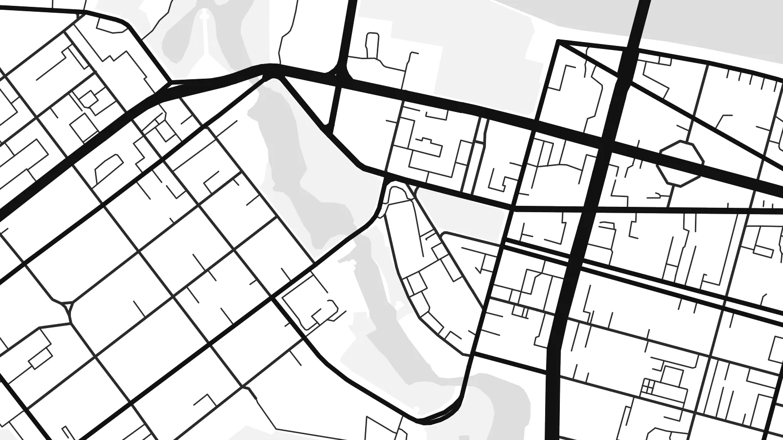 Actual pixels · 24 × 36″ print file
Print-sharp
This is a 100% crop of the real print file. Every poster — printed, framed or downloaded — is rendered on our servers at 300 DPI, up to 7,200 × 10,800 pixels, so even the smallest lanes stay crisp on a 24 × 36″ print.
On the wall
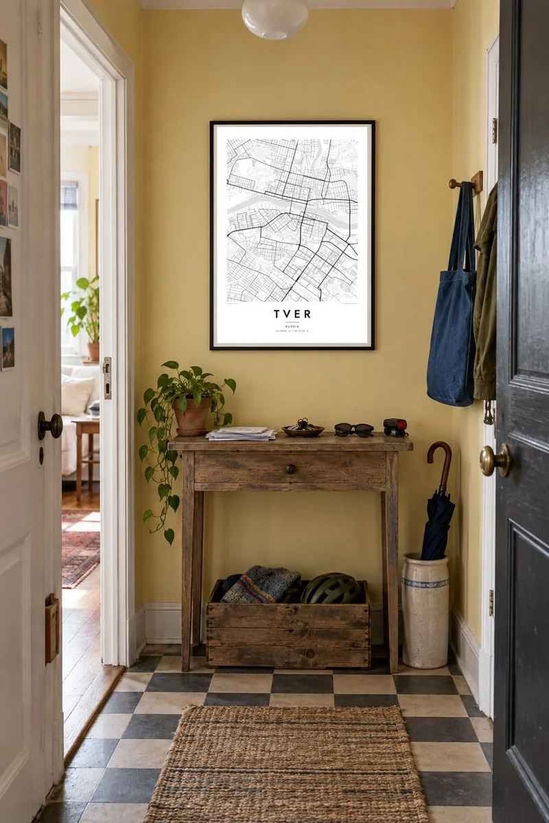


The map
Tver lies on the upper Volga, where the Tvertsa and the smaller Tmaka join the main river, and from above the water divides the city into distinct banks. The historic centre on the right bank is the clearest part of the map: after a fire in 1763 it was rebuilt to a regular plan, with straight avenues and squares replacing the tangle of older wooden streets.
The best-known feature of that plan is the so-called trident, three streets radiating from a single point near the river toward different parts of town. Around it, blocks settle into a near-regular rhythm before loosening into Soviet-era districts and industrial zones along the railway. A Tver map poster captures these layers well: an ordered eighteenth-century core, broad riverside embankments and newer neighbourhoods spreading along the roads.
Tver was an important medieval principality and a long-standing rival of Moscow before being absorbed into it. From 1931 to 1990 the city was called Kalinin. It sits on the main route between Moscow and Saint Petersburg, and the merchant Afanasy Nikitin, who travelled to India in the fifteenth century and wrote an account of the journey, set out from here.
Three straight avenues diverge from one point in the old centre, a planning signature of the post-1763 rebuilding. On the map they read like a clean arrowhead pointing away from the Volga.
Several bridges cross the wide river, including the Old Bridge built around 1900. The water runs as a broad pale band straight across the composition, dividing north from south.
On the left bank the Tvertsa enters the Volga, forming a clear fork of water. Its mouth gives the map a second axis and a quieter riverside edge.
Make it yours
Add a date, a name or a line of your own, switch style, size or orientation.
The free preview is low-resolution with a watermark. Prints and HD files are rendered at 300 DPI, up to 7,200 × 10,800 px, without a watermark.
Why Tver
People hang Tver for the Volga running through it, or because it was a stop on countless journeys between the two capitals. A personalised title, a subtitle such as a year or street, and the coordinates line turn the map into a record of a particular connection.
Blueprint suits the geometry of the trident, while Paper and Sand soften the grid for a living room. Classic black & white and Noir are also available. HD files cost $9 and come in six sizes as 300 DPI PNG and print-ready PDF, with printed posters shipped from partners in 30+ countries.
Order the Tver poster| Print size | Resolution | Files |
|---|---|---|
| 30 × 40 cm11.8 × 15.7″ | 3,543 × 4,724 px | PNG · PDF |
| 29.7 × 42 cm (A3)11.7 × 16.5″ | 3,508 × 4,961 px | PNG · PDF |
| 42 × 59.4 cm (A2)16.5 × 23.4″ | 4,961 × 7,016 px | PNG · PDF |
| 45.7 × 61 cm18 × 24″ | 5,400 × 7,200 px | PNG · PDF |
| 50 × 70 cm19.7 × 27.6″ | 5,906 × 8,268 px | PNG · PDF |
| 61 × 91.4 cm24 × 36″ | 7,200 × 10,800 px | PNG · PDF |
For comparison, the free preview is 900 px wide, watermarked and meant for screens. The HD files have up to 8× the resolution in each direction and print cleanly at full poster size.
Pick a style at the top of the page, then choose Printed Poster — a size and, if you like, a frame — or Digital HD Files. Checkout takes one step, and your order page updates as soon as the payment goes through.
It is printed on premium 200 gsm matte paper in one of six sizes, from 30 × 40 cm to 24 × 36″. Printed posters start at $39, shipping included.
Yes. Choose a solid wood frame in black, white, natural oak or dark wood. It comes with shatterproof glazing and is ready to hang. Framed posters start at $99, shipping included.
Shipping is free to 60+ countries. Each poster is printed by the nearest of our print partners in 30+ countries and usually arrives in 3–7 business days. You can follow the status and tracking under My Orders. A few countries take 2–5 weeks, and where we don't ship yet, the site tells you before you pay.
Send us a photo within 14 days of delivery and we will reprint it for free or refund you.
Yes. In the editor on this page, change the title, the subtitle and the coordinates line to anything you like, and pick a style and size. Printed, framed and digital orders all use exactly your design.
For $9 you get 300 DPI PNG and print-ready PDF files in all six sizes, without a watermark, to print anywhere. Not sure yet? Download a free watermarked preview first.
Nearby
