Three-river confluence
The Calle-Calle, Valdivia and Cau-Cau meet beside the centre. Water surrounds the old grid on several sides and gives the map its branching shape.
Minimalist map poster · Chile
39.8142° S / 73.2459° W
A river city where the Calle-Calle, Cau-Cau and Valdivia rivers meet, with the centre wrapped around islands and wetlands

One city, five moods
Tap a style to see it on the wall. Every style costs the same — printed, framed or as HD files.
 Actual pixels · 24 × 36″ print file
Print-sharp
This is a 100% crop of the real print file. Every poster — printed, framed or downloaded — is rendered on our servers at 300 DPI, up to 7,200 × 10,800 pixels, so even the smallest lanes stay crisp on a 24 × 36″ print.
On the wall

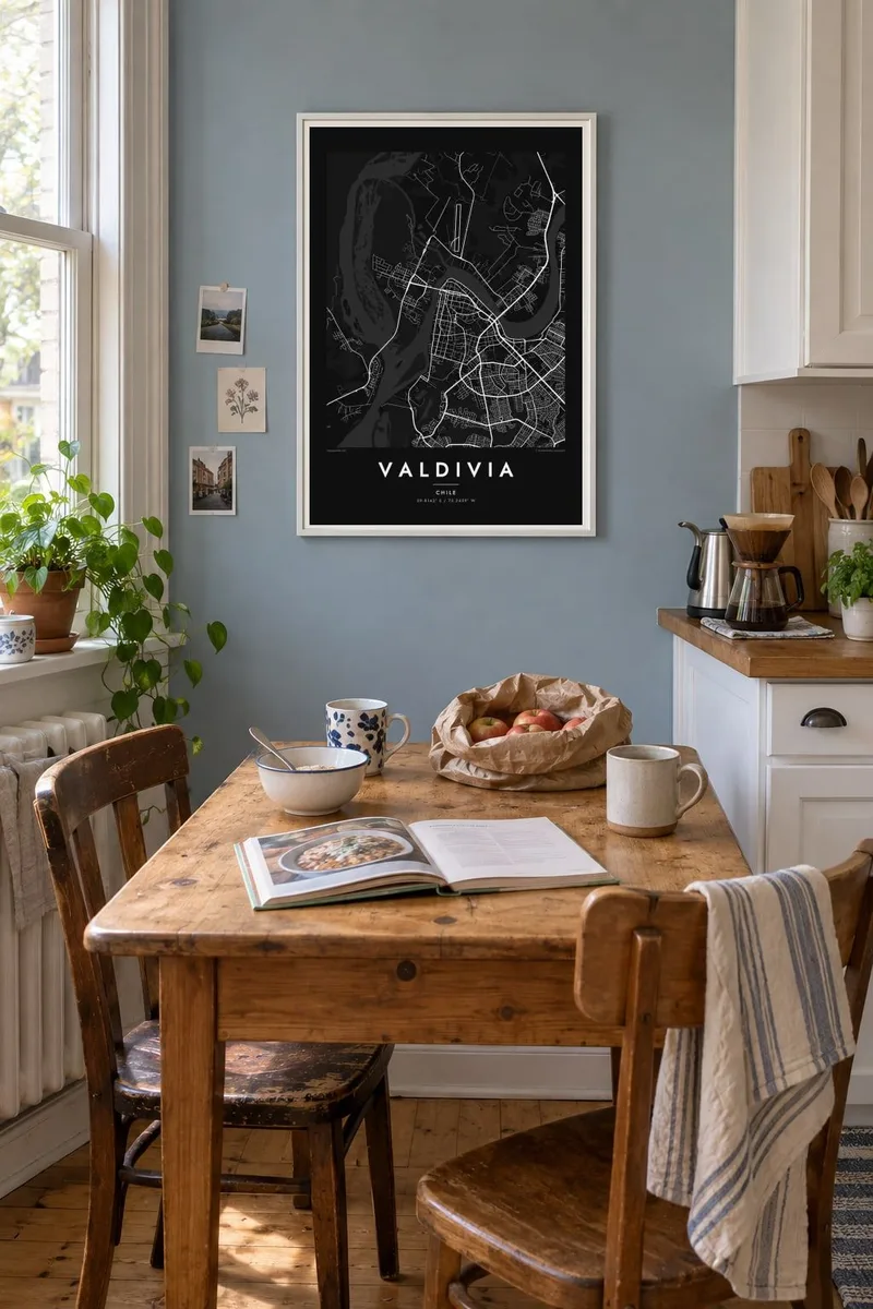
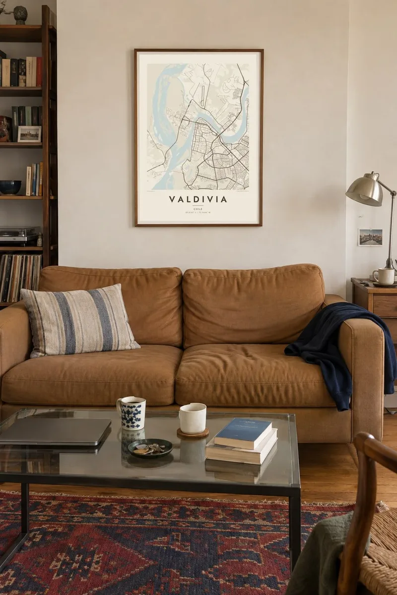
The map
Water shapes almost all of Valdivia. The Calle-Calle River arrives from the east and becomes the Valdivia River as it passes the city centre. The Cau-Cau branches off to the north and separates Isla Teja from the mainland. On a map the streets of the centre form a compact grid pressed against the riverbank, with bridges joining the pieces together.
Beyond the built-up area the lines loosen into marsh and channel. Wetlands spread along the rivers. Many of them formed when the 1960 earthquake, the strongest ever recorded, lowered the land and let water flood in. The Valdivia River then winds toward the Pacific at Corral, where the Spanish once built a chain of forts to guard the approach.
Valdivia was founded in 1552, and German immigrants settled here in the nineteenth century. It is also a university city: the Universidad Austral de Chile occupies much of Isla Teja. A Valdivia map poster captures the balance of dense grid, open water and soft island edges, and the rivers carry the eye across a tall format.
The Calle-Calle, Valdivia and Cau-Cau meet beside the centre. Water surrounds the old grid on several sides and gives the map its branching shape.
A large island across the river from downtown, joined to it by bridges. It holds a university campus, parks and quiet residential streets laid out more loosely than the centre.
Low marshes and flooded meadows line the rivers. Many were created when the land sank in the 1960 earthquake, and they appear as broad pale fields crossed by narrow channels.
Make it yours
Add a date, a name or a line of your own, switch style, size or orientation.
The free preview is low-resolution with a watermark. Prints and HD files are rendered at 300 DPI, up to 7,200 × 10,800 px, without a watermark.
Why Valdivia
Valdivia draws students, researchers and people with family ties to southern Chile, and many stay attached to its rivers long after they leave. A map of the confluence marks that time. You can personalise the title, add a subtitle with a year, and keep or edit the coordinates line.
Blueprint suits a city defined by water, while Paper and Sand turn the wetlands into warm tones. Classic black & white and Noir show the bridges most sharply. You can download the HD files for $9 or order a matte printed poster from a print partner.
Order the Valdivia poster| Print size | Resolution | Files |
|---|---|---|
| 30 × 40 cm11.8 × 15.7″ | 3,543 × 4,724 px | PNG · PDF |
| 29.7 × 42 cm (A3)11.7 × 16.5″ | 3,508 × 4,961 px | PNG · PDF |
| 42 × 59.4 cm (A2)16.5 × 23.4″ | 4,961 × 7,016 px | PNG · PDF |
| 45.7 × 61 cm18 × 24″ | 5,400 × 7,200 px | PNG · PDF |
| 50 × 70 cm19.7 × 27.6″ | 5,906 × 8,268 px | PNG · PDF |
| 61 × 91.4 cm24 × 36″ | 7,200 × 10,800 px | PNG · PDF |
For comparison, the free preview is 900 px wide, watermarked and meant for screens. The HD files have up to 8× the resolution in each direction and print cleanly at full poster size.
Pick a style at the top of the page, then choose Printed Poster — a size and, if you like, a frame — or Digital HD Files. Checkout takes one step, and your order page updates as soon as the payment goes through.
It is printed on premium 200 gsm matte paper in one of six sizes, from 30 × 40 cm to 24 × 36″. Printed posters start at $39, shipping included.
Yes. Choose a solid wood frame in black, white, natural oak or dark wood. It comes with shatterproof glazing and is ready to hang. Framed posters start at $99, shipping included.
Shipping is free to 60+ countries. Each poster is printed by the nearest of our print partners in 30+ countries and usually arrives in 3–7 business days. You can follow the status and tracking under My Orders. A few countries take 2–5 weeks, and where we don't ship yet, the site tells you before you pay.
Send us a photo within 14 days of delivery and we will reprint it for free or refund you.
Yes. In the editor on this page, change the title, the subtitle and the coordinates line to anything you like, and pick a style and size. Printed, framed and digital orders all use exactly your design.
For $9 you get 300 DPI PNG and print-ready PDF files in all six sizes, without a watermark, to print anywhere. Not sure yet? Download a free watermarked preview first.
Nearby
