The chalet fan
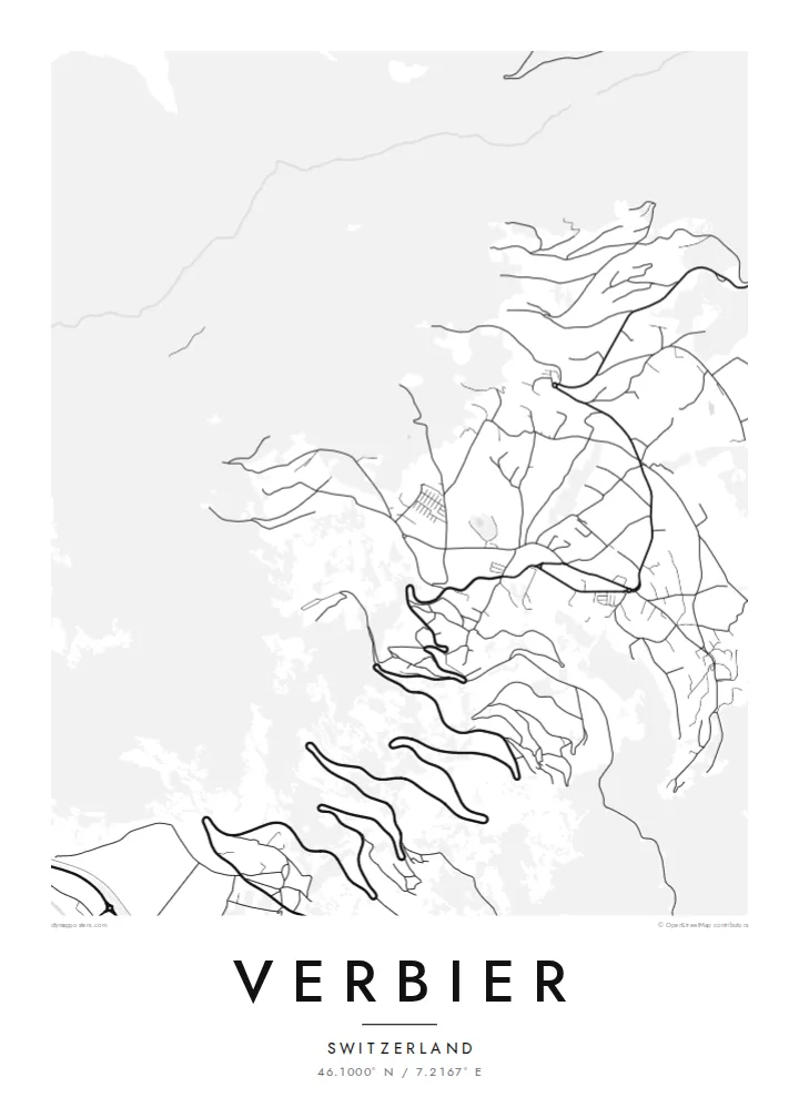
Verbier's chalets spread across the open hillside in a wide arc. Their curving access roads give the map a fine, flowing texture that sets it apart from tighter, more compact resorts.
Minimalist map poster · Switzerland
46.1000° N / 7.2167° E
A sunny, bowl-shaped resort spread across open slopes high above the Val de Bagnes, with switchback roads climbing from below
One city, five moods
Tap a style to see it on the wall. Every style costs the same — printed, framed or as HD files.
 Actual pixels · 24 × 36″ print file
Print-sharp
This is a 100% crop of the real print file. Every poster — printed, framed or downloaded — is rendered on our servers at 300 DPI, up to 7,200 × 10,800 pixels, so even the smallest lanes stay crisp on a 24 × 36″ print.
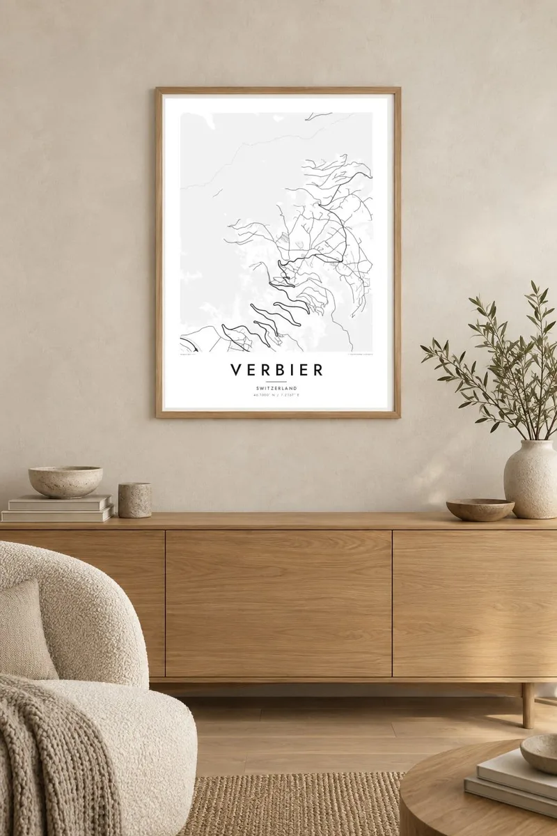
On the wall


The resort
Verbier stands on a broad, south-facing slope high above the Val de Bagnes in Valais. On a map the resort spreads out in a wide fan. Chalets are scattered across the hillside and joined by curving roads that follow the ground. The village centre is gathered around a small square, and more and more chalets fill the slope above and to either side.
Below, the valley floor holds the village of Le Châble, and a gondola links it to Verbier. Above, the lifts climb towards Mont Fort and the Four Valleys ski area. The resort is well known for off-piste terrain, and the Bec des Rosses face nearby hosts the final of the Freeride World Tour. The map shows how the settlement ends where steeper, open mountain begins.
A Verbier map poster shows a slope full of lanes and chalets that thin out towards the top. The fan shape is distinctive, and the switchback roads add movement. It is a map for people who know which bend their chalet sits on, and who remember the climb up from the valley in the dark.
Verbier's chalets spread across the open hillside in a wide arc. Their curving access roads give the map a fine, flowing texture that sets it apart from tighter, more compact resorts.
A gondola runs from the valley floor at Le Châble up to Verbier. On the map it ties the resort to the Val de Bagnes below and to the rail line that runs there.
Above the resort, the lifts rise towards Mont Fort and the high terrain of the Four Valleys. The map fades into open mountain there, and the settled slope ends at the ski area.
Make it yours
Add a date, a name or a line of your own, switch style, size or orientation.
The free preview is low-resolution with a watermark. Prints and HD files are rendered at 300 DPI, up to 7,200 × 10,800 px, without a watermark.
Why Verbier
Verbier attracts people who come back to the same slopes every year, whether for freeride or for a quiet week of sun. A map of its hillside is a personal reminder of those seasons, and friends who ski together will recognise it at once.
Change the title and subtitle to name a chalet or a group of friends, and keep or remove the coordinates. Choose Noir for a modern feel, or Paper or Sand for something softer. Classic black & white and Blueprint are the other styles.
Order the Verbier poster| Print size | Resolution | Files |
|---|---|---|
| 30 × 40 cm11.8 × 15.7″ | 3,543 × 4,724 px | PNG · PDF |
| 29.7 × 42 cm (A3)11.7 × 16.5″ | 3,508 × 4,961 px | PNG · PDF |
| 42 × 59.4 cm (A2)16.5 × 23.4″ | 4,961 × 7,016 px | PNG · PDF |
| 45.7 × 61 cm18 × 24″ | 5,400 × 7,200 px | PNG · PDF |
| 50 × 70 cm19.7 × 27.6″ | 5,906 × 8,268 px | PNG · PDF |
| 61 × 91.4 cm24 × 36″ | 7,200 × 10,800 px | PNG · PDF |
For comparison, the free preview is 900 px wide, watermarked and meant for screens. The HD files have up to 8× the resolution in each direction and print cleanly at full poster size.
Pick a style at the top of the page, then choose Printed Poster — a size and, if you like, a frame — or Digital HD Files. Checkout takes one step, and your order page updates as soon as the payment goes through.
It is printed on premium 200 gsm matte paper in one of six sizes, from 30 × 40 cm to 24 × 36″. Printed posters start at $39, shipping included.
Yes. Choose a solid wood frame in black, white, natural oak or dark wood. It comes with shatterproof glazing and is ready to hang. Framed posters start at $99, shipping included.
Shipping is free to 60+ countries. Each poster is printed by the nearest of our print partners in 30+ countries and usually arrives in 3–7 business days. You can follow the status and tracking under My Orders. A few countries take 2–5 weeks, and where we don't ship yet, the site tells you before you pay.
Send us a photo within 14 days of delivery and we will reprint it for free or refund you.
Yes. In the editor on this page, change the title, the subtitle and the coordinates line to anything you like, and pick a style and size. Printed, framed and digital orders all use exactly your design.
For $9 you get 300 DPI PNG and print-ready PDF files in all six sizes, without a watermark, to print anywhere. Not sure yet? Download a free watermarked preview first.
Nearby
