The Ringstraße
About five kilometres of boulevard enclose the first district, lined with the opera, parliament, city hall and university. On paper it is the clearest single line in the city.
Minimalist map poster · Austria
48.2085° N / 16.3721° E
A city of concentric rings, the Ringstraße and the Gürtel, with the Danube drawing a long straight line to the east.

One city, five moods
Tap a style to see it on the wall. Every style costs the same — printed, framed or as HD files.
 Actual pixels · 24 × 36″ print file
Print-sharp
This is a 100% crop of the real print file. Every poster — printed, framed or downloaded — is rendered on our servers at 300 DPI, up to 7,200 × 10,800 pixels, so even the smallest lanes stay crisp on a 24 × 36″ print.
On the wall

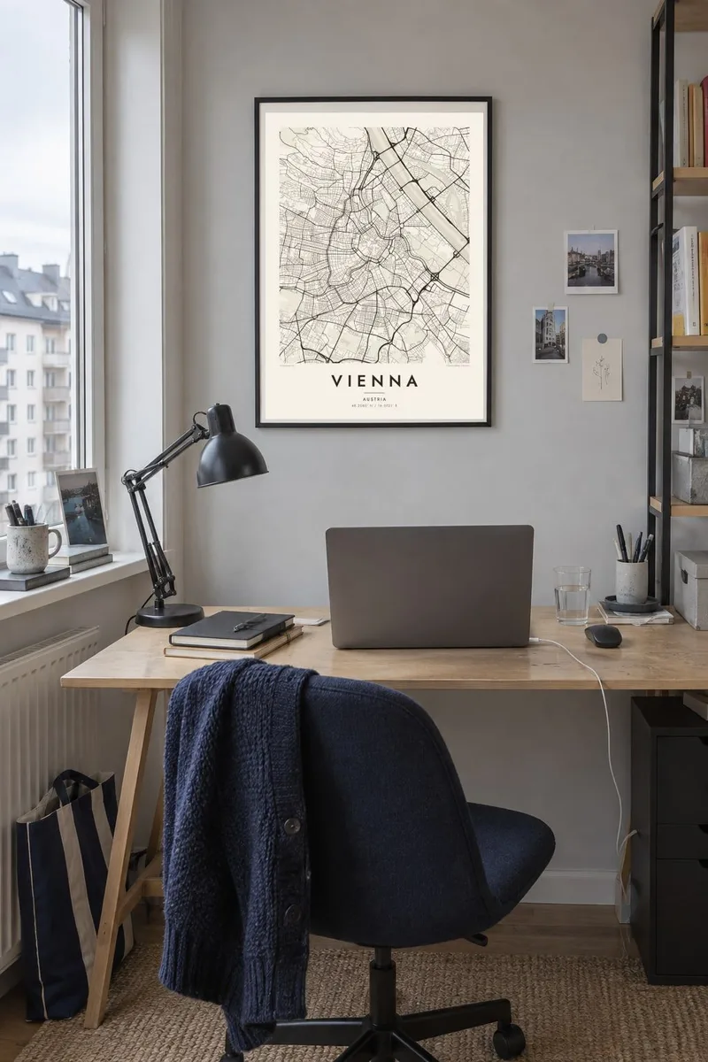
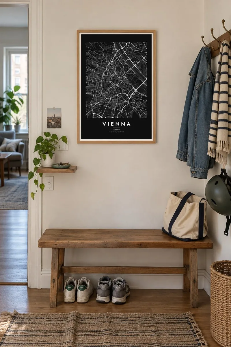
The map
Vienna is shaped by the walls it no longer has. In the 1850s the old fortifications were torn down and replaced by the Ringstraße, a boulevard that curves around the Innere Stadt in a near horseshoe. The Danube Canal closes the loop on its north-eastern side. On a map the first district sits inside it like a dense, irregular kernel, and its lanes still follow medieval lines.
A second ring, the Gürtel, follows the line of the former outer defences, and between the two rings the districts spread in wedge-shaped sectors. To the east the Danube runs in a straight, regulated channel beside the long, narrow Donauinsel. The Prater's main avenue cuts diagonally through the green space nearby. To the west the streets fade into the wooded slopes of the Wienerwald.
A Vienna map poster shows a capital whose plan you can read like tree rings: medieval core, imperial boulevard, nineteenth-century suburbs, then river and forest. To the south-west, Schönbrunn's formal gardens show up as a rigid geometry of paths. The historic centre is listed by UNESCO, and the Hofburg and St. Stephen's Cathedral lie within a few minutes' walk of each other.
About five kilometres of boulevard enclose the first district, lined with the opera, parliament, city hall and university. On paper it is the clearest single line in the city.
The main river was straightened in the nineteenth century, and a long artificial island now runs beside it. Together they draw two thin, almost ruler-straight bands across the eastern half of the map.
A straight avenue of chestnut trees crosses the Prater for several kilometres. It forms a single line through open parkland between the Danube Canal and the river itself.
Make it yours
Add a date, a name or a line of your own, switch style, size or orientation.
The free preview is low-resolution with a watermark. Prints and HD files are rendered at 300 DPI, up to 7,200 × 10,800 px, without a watermark.
Why Vienna
Vienna is a city people keep coming back to, for music, for study or for a first flat in a particular Bezirk. Use a district name or a date in the title and subtitle, and let the coordinates line mark the exact spot.
Noir shows the rings as pale lines on black, which suits a study or hallway, and Paper gives a softer, archival look. The $9 digital download covers six print sizes with no watermark. Printed posters can arrive framed from a nearby print partner.
Order the Vienna poster| Print size | Resolution | Files |
|---|---|---|
| 30 × 40 cm11.8 × 15.7″ | 3,543 × 4,724 px | PNG · PDF |
| 29.7 × 42 cm (A3)11.7 × 16.5″ | 3,508 × 4,961 px | PNG · PDF |
| 42 × 59.4 cm (A2)16.5 × 23.4″ | 4,961 × 7,016 px | PNG · PDF |
| 45.7 × 61 cm18 × 24″ | 5,400 × 7,200 px | PNG · PDF |
| 50 × 70 cm19.7 × 27.6″ | 5,906 × 8,268 px | PNG · PDF |
| 61 × 91.4 cm24 × 36″ | 7,200 × 10,800 px | PNG · PDF |
For comparison, the free preview is 900 px wide, watermarked and meant for screens. The HD files have up to 8× the resolution in each direction and print cleanly at full poster size.
Pick a style at the top of the page, then choose Printed Poster — a size and, if you like, a frame — or Digital HD Files. Checkout takes one step, and your order page updates as soon as the payment goes through.
It is printed on premium 200 gsm matte paper in one of six sizes, from 30 × 40 cm to 24 × 36″. Printed posters start at $39, shipping included.
Yes. Choose a solid wood frame in black, white, natural oak or dark wood. It comes with shatterproof glazing and is ready to hang. Framed posters start at $99, shipping included.
Shipping is free to 60+ countries. Each poster is printed by the nearest of our print partners in 30+ countries and usually arrives in 3–7 business days. You can follow the status and tracking under My Orders. A few countries take 2–5 weeks, and where we don't ship yet, the site tells you before you pay.
Send us a photo within 14 days of delivery and we will reprint it for free or refund you.
Yes. In the editor on this page, change the title, the subtitle and the coordinates line to anything you like, and pick a style and size. Printed, framed and digital orders all use exactly your design.
For $9 you get 300 DPI PNG and print-ready PDF files in all six sizes, without a watermark, to print anywhere. Not sure yet? Download a free watermarked preview first.
Nearby
