The Park Lands
A ring of parkland surrounds the city centre and North Adelaide. On the poster it reads as a wide white band, setting the grid apart like a mount around a picture.
Minimalist map poster · Australia
34.9287° S / 138.5986° E
A planned grid of squares ringed entirely by parkland, with the Torrens winding between city and North Adelaide

One city, five moods
Tap a style to see it on the wall. Every style costs the same — printed, framed or as HD files.
 Actual pixels · 24 × 36″ print file
Print-sharp
This is a 100% crop of the real print file. Every poster — printed, framed or downloaded — is rendered on our servers at 300 DPI, up to 7,200 × 10,800 pixels, so even the smallest lanes stay crisp on a 24 × 36″ print.
On the wall
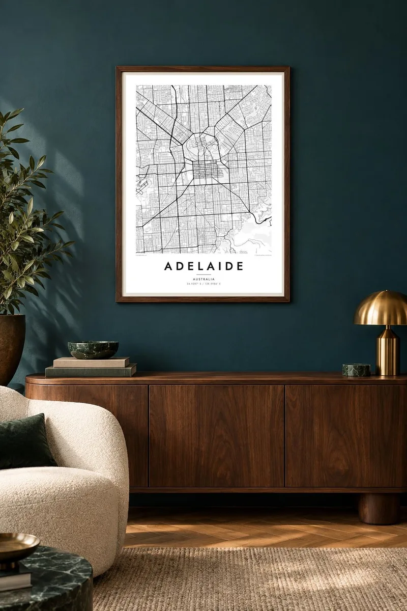
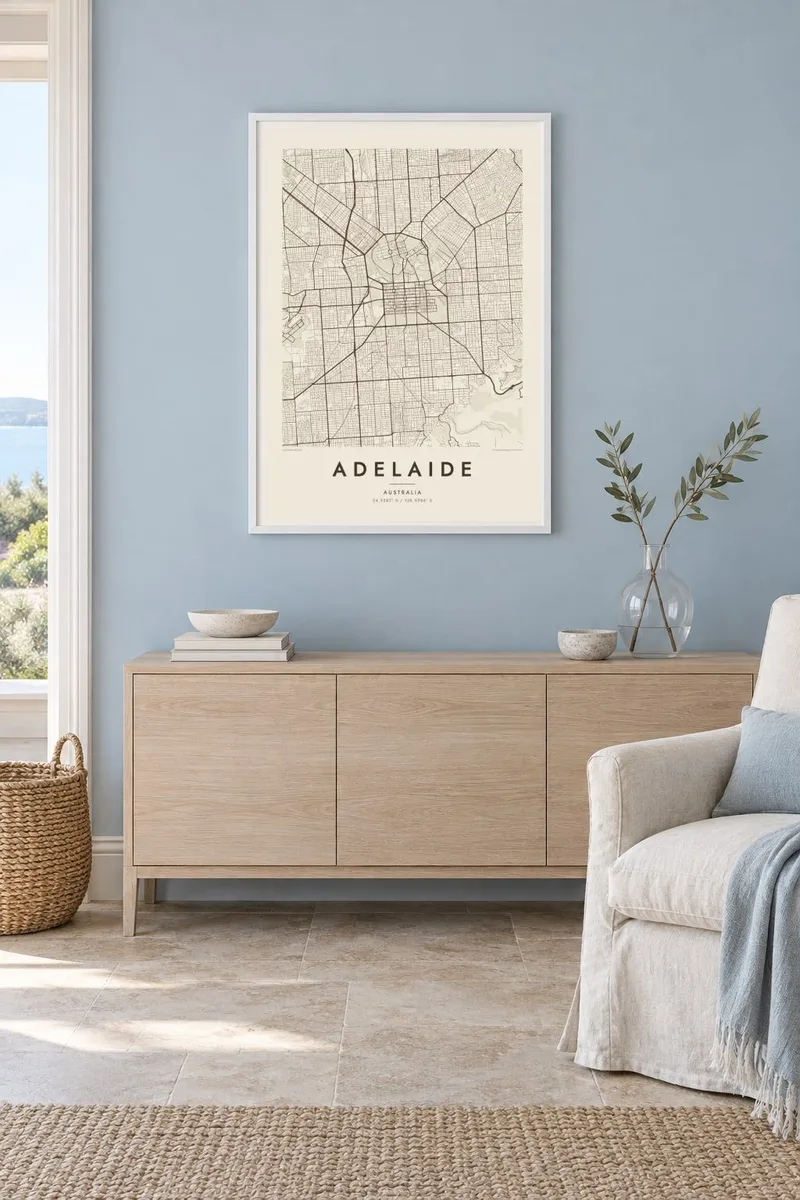
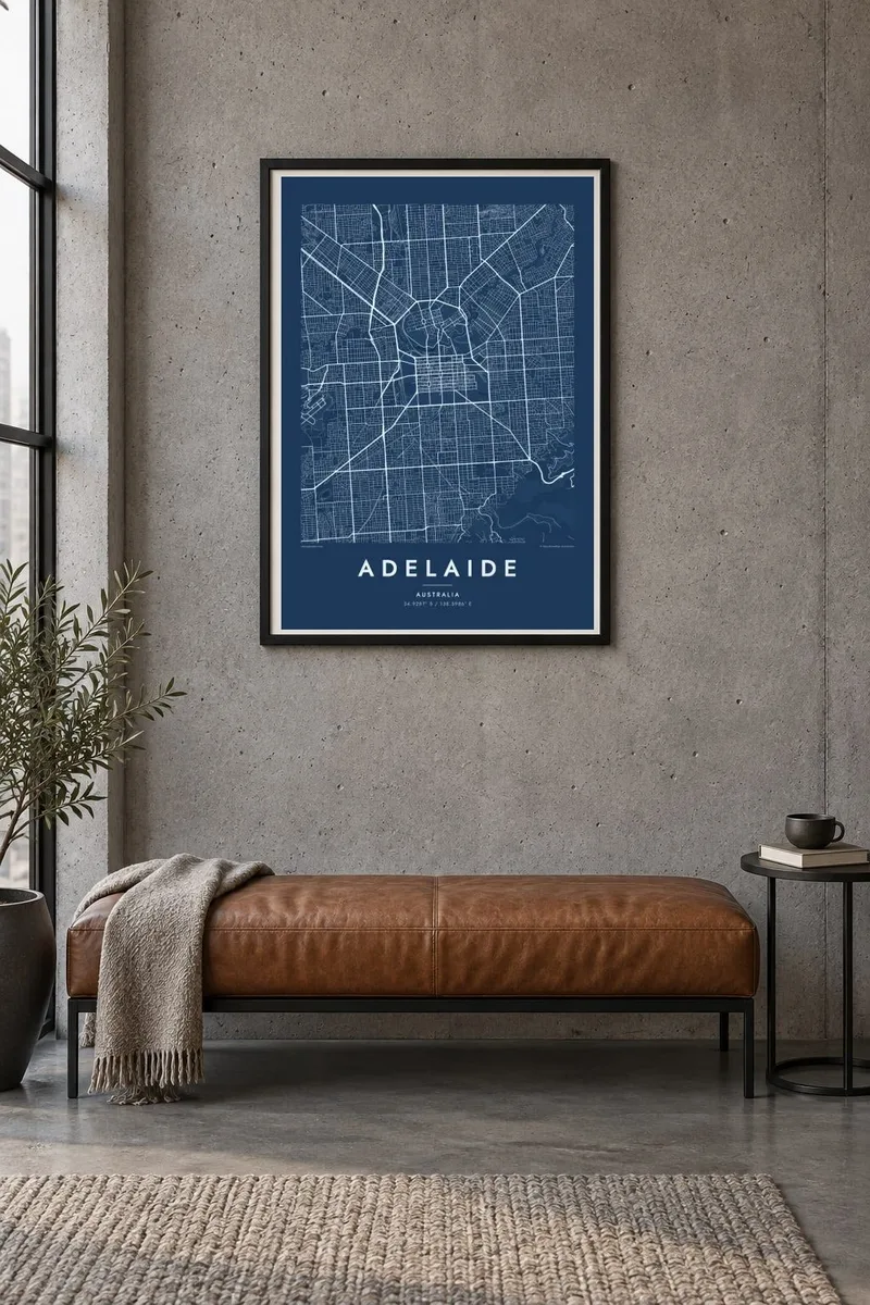
The map
Few cities show their founding plan as clearly as Adelaide. Colonel William Light surveyed it in 1837, and his design is still plain to see from above. The city centre is a rectangular grid with Victoria Square at its heart and four smaller squares around it. North Adelaide sits across the River Torrens on its own gentler grid.
Both parts are enclosed by the Adelaide Park Lands, a continuous belt of open ground that separates the city from its suburbs. The suburbs spread across a flat plain between Gulf St Vincent in the west and the Mount Lofty Ranges in the east. Straight roads run to the beaches at Glenelg and to the foothills.
An Adelaide map poster captures the planned core as a neat block framed by open space, with the river forming a slow curve through the middle. It is an unusually balanced composition for a city of its size. Much of the pleasure comes from the empty parkland around the grid, which lets the streets inside stand out.
A ring of parkland surrounds the city centre and North Adelaide. On the poster it reads as a wide white band, setting the grid apart like a mount around a picture.
Victoria Square sits at the centre of the grid, with four smaller squares placed symmetrically around it. The design traces back to the original 1837 survey.
The river runs east to west between the city and North Adelaide, widening into a lake near the centre. It is the only curving line in an otherwise orderly plan.
Make it yours
Add a date, a name or a line of your own, switch style, size or orientation.
The free preview is low-resolution with a watermark. Prints and HD files are rendered at 300 DPI, up to 7,200 × 10,800 px, without a watermark.
Why Adelaide
For anyone who grew up in Adelaide, studied there or moved away, the square grid and green ring are instantly familiar. The shape reads as home even without labels, which makes it a lasting piece for a wall.
The title, subtitle and coordinates line are all editable. Use them for a suburb, a date or a short note. The map comes in five styles: Classic black & white, Noir, Paper, Blueprint and Sand.
Order the Adelaide poster| Print size | Resolution | Files |
|---|---|---|
| 30 × 40 cm11.8 × 15.7″ | 3,543 × 4,724 px | PNG · PDF |
| 29.7 × 42 cm (A3)11.7 × 16.5″ | 3,508 × 4,961 px | PNG · PDF |
| 42 × 59.4 cm (A2)16.5 × 23.4″ | 4,961 × 7,016 px | PNG · PDF |
| 45.7 × 61 cm18 × 24″ | 5,400 × 7,200 px | PNG · PDF |
| 50 × 70 cm19.7 × 27.6″ | 5,906 × 8,268 px | PNG · PDF |
| 61 × 91.4 cm24 × 36″ | 7,200 × 10,800 px | PNG · PDF |
For comparison, the free preview is 900 px wide, watermarked and meant for screens. The HD files have up to 8× the resolution in each direction and print cleanly at full poster size.
Pick a style at the top of the page, then choose Printed Poster — a size and, if you like, a frame — or Digital HD Files. Checkout takes one step, and your order page updates as soon as the payment goes through.
It is printed on premium 200 gsm matte paper in one of six sizes, from 30 × 40 cm to 24 × 36″. Printed posters start at $39, shipping included.
Yes. Choose a solid wood frame in black, white, natural oak or dark wood. It comes with shatterproof glazing and is ready to hang. Framed posters start at $99, shipping included.
Shipping is free to 60+ countries. Each poster is printed by the nearest of our print partners in 30+ countries and usually arrives in 3–7 business days. You can follow the status and tracking under My Orders. A few countries take 2–5 weeks, and where we don't ship yet, the site tells you before you pay.
Send us a photo within 14 days of delivery and we will reprint it for free or refund you.
Yes. In the editor on this page, change the title, the subtitle and the coordinates line to anything you like, and pick a style and size. Printed, framed and digital orders all use exactly your design.
For $9 you get 300 DPI PNG and print-ready PDF files in all six sizes, without a watermark, to print anywhere. Not sure yet? Download a free watermarked preview first.
Nearby
