Crater district
The old town fills the floor of an extinct volcano. Its dense streets are ringed by bare ridges, which makes a striking, almost circular composition on the map.
Minimalist map poster · Yemen
12.7796° N / 45.0385° E
A port city spread across volcanic peninsulas, with its oldest quarter set inside the crater of an extinct volcano

One city, five moods
Tap a style to see it on the wall. Every style costs the same — printed, framed or as HD files.
 Actual pixels · 24 × 36″ print file
Print-sharp
This is a 100% crop of the real print file. Every poster — printed, framed or downloaded — is rendered on our servers at 300 DPI, up to 7,200 × 10,800 pixels, so even the smallest lanes stay crisp on a 24 × 36″ print.
On the wall
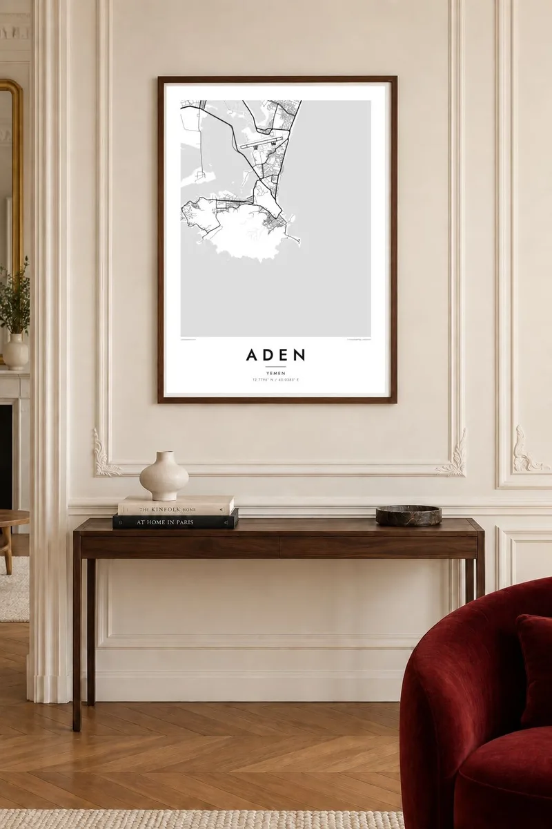
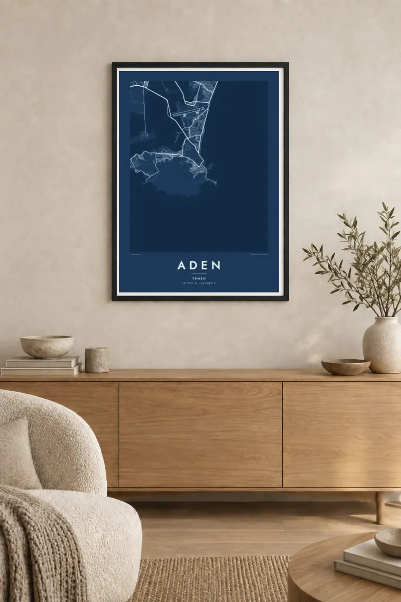
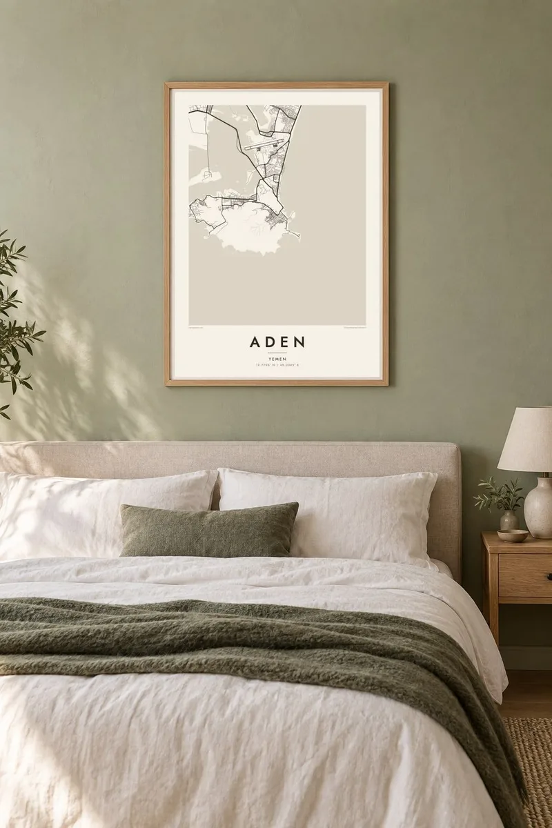
The map
Aden occupies a group of rocky peninsulas and isthmuses on the Gulf of Aden, near the southern entrance to the Red Sea. Its most remarkable district, known simply as Crater, lies inside the bowl of an extinct volcano, enclosed by steep, bare ridges on almost every side. On a map, the streets of Crater pack tightly into that basin, with only a few roads threading through gaps in the rock.
Other districts spread along the shoreline around the peninsula: Ma'alla with its long straight main road, Tawahi by the old harbour at Steamer Point, and Khormaksar on the narrow isthmus that joins the peninsula to the mainland and holds the airport. On an Aden map poster, the jagged ridges appear as open spaces, with the harbour and sea surrounding the urban area.
Aden has been a port for millennia, and under British rule in the nineteenth and twentieth centuries it became a major refuelling stop for ships travelling between Europe and Asia via the Suez Canal. In Crater, the ancient Tawila Cisterns were built into the mountainside to collect rare rainfall. Across the bay, Little Aden forms a second volcanic headland with its own coastline.
The old town fills the floor of an extinct volcano. Its dense streets are ringed by bare ridges, which makes a striking, almost circular composition on the map.
A narrow strip of land links the peninsula to the mainland. It carries the airport and main roads between the sea and the inner harbour.
The old port district of Tawahi faces the natural harbour. Quays and shoreline trace a complex edge where the city meets deep water.
Make it yours
Add a date, a name or a line of your own, switch style, size or orientation.
The free preview is low-resolution with a watermark. Prints and HD files are rendered at 300 DPI, up to 7,200 × 10,800 px, without a watermark.
Why Aden
Aden's shape is among the most dramatic of any port city, and for Yemenis at home and abroad, as well as families with past ties to the port, the map carries deep personal meaning. It holds its own as a piece of graphic design.
Add your own title, a subtitle and coordinates, and choose Classic black & white, Noir, Paper, Blueprint or Sand. The $9 digital files come without a watermark in six print sizes, ready for any local print shop.
Order the Aden poster| Print size | Resolution | Files |
|---|---|---|
| 30 × 40 cm11.8 × 15.7″ | 3,543 × 4,724 px | PNG · PDF |
| 29.7 × 42 cm (A3)11.7 × 16.5″ | 3,508 × 4,961 px | PNG · PDF |
| 42 × 59.4 cm (A2)16.5 × 23.4″ | 4,961 × 7,016 px | PNG · PDF |
| 45.7 × 61 cm18 × 24″ | 5,400 × 7,200 px | PNG · PDF |
| 50 × 70 cm19.7 × 27.6″ | 5,906 × 8,268 px | PNG · PDF |
| 61 × 91.4 cm24 × 36″ | 7,200 × 10,800 px | PNG · PDF |
For comparison, the free preview is 900 px wide, watermarked and meant for screens. The HD files have up to 8× the resolution in each direction and print cleanly at full poster size.
Pick a style at the top of the page, then choose Printed Poster — a size and, if you like, a frame — or Digital HD Files. Checkout takes one step, and your order page updates as soon as the payment goes through.
It is printed on premium 200 gsm matte paper in one of six sizes, from 30 × 40 cm to 24 × 36″. Printed posters start at $39, shipping included.
Yes. Choose a solid wood frame in black, white, natural oak or dark wood. It comes with shatterproof glazing and is ready to hang. Framed posters start at $99, shipping included.
Shipping is free to 60+ countries. Each poster is printed by the nearest of our print partners in 30+ countries and usually arrives in 3–7 business days. You can follow the status and tracking under My Orders. A few countries take 2–5 weeks, and where we don't ship yet, the site tells you before you pay.
Send us a photo within 14 days of delivery and we will reprint it for free or refund you.
Yes. In the editor on this page, change the title, the subtitle and the coordinates line to anything you like, and pick a style and size. Printed, framed and digital orders all use exactly your design.
For $9 you get 300 DPI PNG and print-ready PDF files in all six sizes, without a watermark, to print anywhere. Not sure yet? Download a free watermarked preview first.
Nearby
