Braye breakwater
A long, straight arm of stone extending from the north shore. It is the clearest man-made line on the island and shelters the harbour and the beach behind it.
Minimalist map poster · Guernsey
49.7170° N / 2.1968° W
A small, wind-shaped island at the top of the Channel Islands, ringed by forts, with one town on its central plateau

One city, five moods
Tap a style to see it on the wall. Every style costs the same — printed, framed or as HD files.
 Actual pixels · 24 × 36″ print file
Print-sharp
This is a 100% crop of the real print file. Every poster — printed, framed or downloaded — is rendered on our servers at 300 DPI, up to 7,200 × 10,800 pixels, so even the smallest lanes stay crisp on a 24 × 36″ print.
On the wall

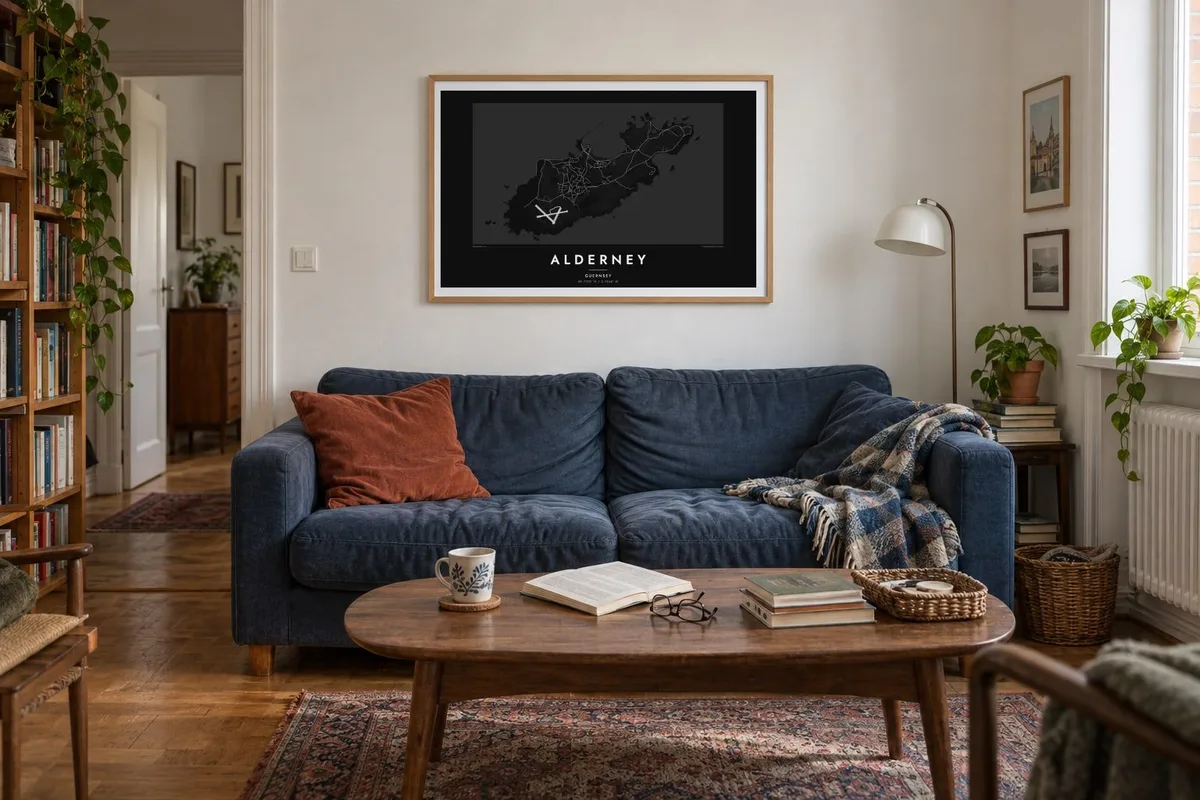
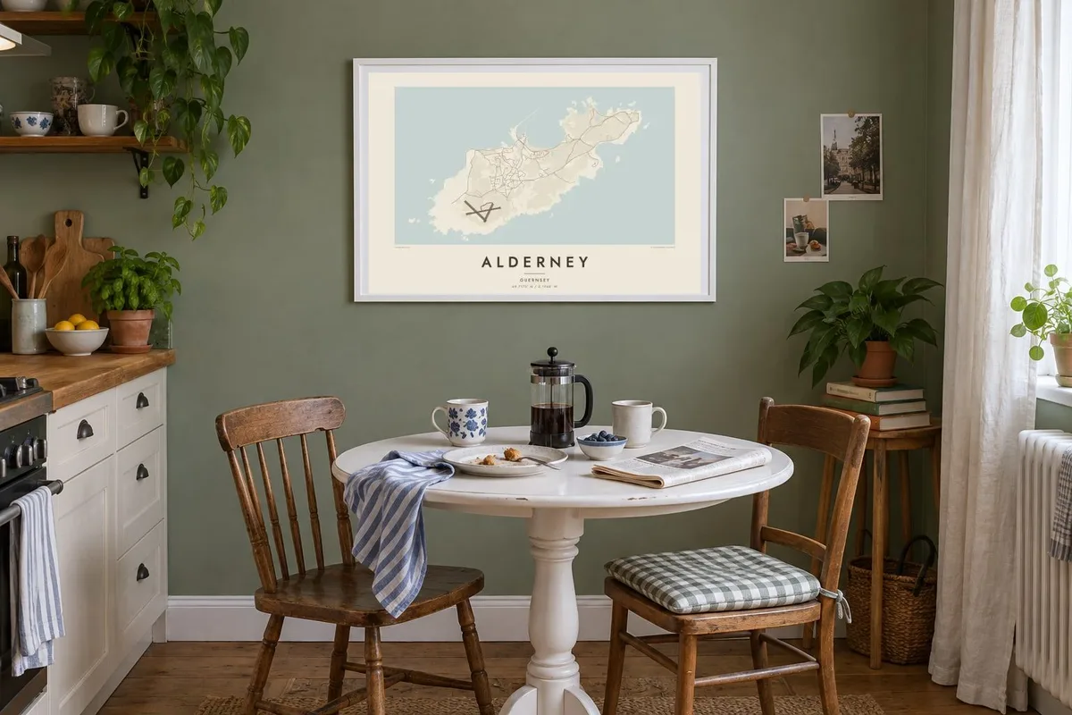
The island
Alderney is about five kilometres long. On a map it looks like a slightly tilted wedge, with high cliffs along the south-west and lower, broken ground toward the north-east. Its one town, St Anne, sits on the plateau in the middle. There, a small grid of cobbled streets gives way to fields, the airfield and a scatter of lanes leading down to the bays.
Braye Harbour on the north coast is protected by a long Victorian breakwater that points out into the sea. Around the shore, a chain of nineteenth-century forts and later German wartime fortifications marks nearly every headland. These give an Alderney map poster a distinctive outline of small defensive shapes tucked into the coast.
Off the eastern tip, the Alderney Race runs between the island and the Cotentin peninsula of France. It is one of the strongest tidal streams in European waters. Smaller islets and rocks sit off the western end. The island also runs the only working railway in the Channel Islands, a short line from Braye toward the old quarries and Mannez lighthouse.
A long, straight arm of stone extending from the north shore. It is the clearest man-made line on the island and shelters the harbour and the beach behind it.
A compact town on the central plateau with narrow streets and small squares. It sits almost exactly in the middle of the island, away from the exposed coast.
Forts from the Victorian era and the Second World War sit on headland after headland. On the print they appear as small, deliberate shapes all along the edge of the land.
Make it yours
Add a date, a name or a line of your own, switch style, size or orientation.
The free preview is low-resolution with a watermark. Prints and HD files are rendered at 300 DPI, up to 7,200 × 10,800 px, without a watermark.
Why Alderney
For people who have lived on Alderney, sailed into Braye or walked its cliff paths, the island's small, compact shape carries a lot of memory. It fits neatly on a poster at almost any size, with room to spare around the coast.
The title, subtitle and coordinates line can all be personalised, whether to name a house or mark the year of a visit. Pick from Classic black & white, Noir, Paper, Blueprint or Sand, as a $9 digital download or a printed poster shipped from a nearby partner.
Order the Alderney poster| Print size | Resolution | Files |
|---|---|---|
| 30 × 40 cm11.8 × 15.7″ | 3,543 × 4,724 px | PNG · PDF |
| 29.7 × 42 cm (A3)11.7 × 16.5″ | 3,508 × 4,961 px | PNG · PDF |
| 42 × 59.4 cm (A2)16.5 × 23.4″ | 4,961 × 7,016 px | PNG · PDF |
| 45.7 × 61 cm18 × 24″ | 5,400 × 7,200 px | PNG · PDF |
| 50 × 70 cm19.7 × 27.6″ | 5,906 × 8,268 px | PNG · PDF |
| 61 × 91.4 cm24 × 36″ | 7,200 × 10,800 px | PNG · PDF |
For comparison, the free preview is 900 px wide, watermarked and meant for screens. The HD files have up to 8× the resolution in each direction and print cleanly at full poster size.
Pick a style at the top of the page, then choose Printed Poster — a size and, if you like, a frame — or Digital HD Files. Checkout takes one step, and your order page updates as soon as the payment goes through.
It is printed on premium 200 gsm matte paper in one of six sizes, from 30 × 40 cm to 24 × 36″. Printed posters start at $39, shipping included.
Yes. Choose a solid wood frame in black, white, natural oak or dark wood. It comes with shatterproof glazing and is ready to hang. Framed posters start at $99, shipping included.
Shipping is free to 60+ countries. Each poster is printed by the nearest of our print partners in 30+ countries and usually arrives in 3–7 business days. You can follow the status and tracking under My Orders. A few countries take 2–5 weeks, and where we don't ship yet, the site tells you before you pay.
Send us a photo within 14 days of delivery and we will reprint it for free or refund you.
Yes. In the editor on this page, change the title, the subtitle and the coordinates line to anything you like, and pick a style and size. Printed, framed and digital orders all use exactly your design.
For $9 you get 300 DPI PNG and print-ready PDF files in all six sizes, without a watermark, to print anywhere. Not sure yet? Download a free watermarked preview first.
Nearby
