Ria Formosa lagoon
Behind a line of narrow sandy islands lies a maze of tidal channels and marsh, drawn as fine branching water lines around Faro and Olhão.
Minimalist map poster · Portugal
37.2445° N / 8.1960° W
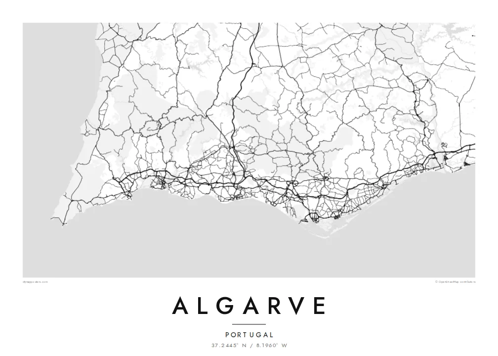
Portugal's southern edge, from barrier islands and lagoons in the east to carved cliffs and a sharp southwestern cape
One city, five moods
Tap a style to see it on the wall. Every style costs the same — printed, framed or as HD files.
 Actual pixels · 24 × 36″ print file
Print-sharp
This is a 100% crop of the real print file. Every poster — printed, framed or downloaded — is rendered on our servers at 300 DPI, up to 7,200 × 10,800 pixels, so even the smallest lanes stay crisp on a 24 × 36″ print.
On the wall


The coast
The Algarve is the southernmost region of mainland Portugal, a long band of coast between the Guadiana river on the Spanish border and Cape St. Vincent. Its shape changes along the way. East of Faro the shore becomes a chain of sandy barrier islands, while west of Albufeira and around Lagos it breaks up into cliffs, arches and small coves.
The Ria Formosa, a protected lagoon behind the barrier islands, surrounds Faro, the regional capital, with marshes, channels and salt pans. At the far west, Sagres and Cape St. Vincent form the southwestern tip of mainland Europe, a place long associated with Portugal's age of sea exploration. Inland, the Serra de Monchique rises as a green range behind the coast.
An Algarve map poster puts these two coasts on one sheet: the soft lagoons and long sand spits in the east, and the ragged rock formations of Ponta da Piedade near Lagos in the west. Between them, towns such as Portimão sit at river mouths, and the streets of resort districts fill the low ground close to the shore.
Behind a line of narrow sandy islands lies a maze of tidal channels and marsh, drawn as fine branching water lines around Faro and Olhão.
South of Lagos the cliffs break up into sea stacks, arches and grottoes, giving this part of the coastline a jagged, finely detailed edge.
At the western end the coast turns sharply north at a bare headland, the corner where the south-facing shore meets Portugal's Atlantic west coast.
Make it yours
Add a date, a name or a line of your own, switch style, size or orientation.
The free preview is low-resolution with a watermark. Prints and HD files are rendered at 300 DPI, up to 7,200 × 10,800 px, without a watermark.
Why Algarve
It works for families who have holidayed in the same resort for years and for people who have moved to the region. Write the town or the villa's name in the title, a year in the subtitle, and set the coordinates to your own stretch of beach.
Choose Sand for a sunlit feel, Blueprint for the lagoon's intricate channels, or Classic black & white, Noir and Paper. The poster is available as a $9 HD download or as a printed matte poster, framed in wood if you like.
Order the Algarve poster| Print size | Resolution | Files |
|---|---|---|
| 30 × 40 cm11.8 × 15.7″ | 3,543 × 4,724 px | PNG · PDF |
| 29.7 × 42 cm (A3)11.7 × 16.5″ | 3,508 × 4,961 px | PNG · PDF |
| 42 × 59.4 cm (A2)16.5 × 23.4″ | 4,961 × 7,016 px | PNG · PDF |
| 45.7 × 61 cm18 × 24″ | 5,400 × 7,200 px | PNG · PDF |
| 50 × 70 cm19.7 × 27.6″ | 5,906 × 8,268 px | PNG · PDF |
| 61 × 91.4 cm24 × 36″ | 7,200 × 10,800 px | PNG · PDF |
For comparison, the free preview is 900 px wide, watermarked and meant for screens. The HD files have up to 8× the resolution in each direction and print cleanly at full poster size.
Pick a style at the top of the page, then choose Printed Poster — a size and, if you like, a frame — or Digital HD Files. Checkout takes one step, and your order page updates as soon as the payment goes through.
It is printed on premium 200 gsm matte paper in one of six sizes, from 30 × 40 cm to 24 × 36″. Printed posters start at $39, shipping included.
Yes. Choose a solid wood frame in black, white, natural oak or dark wood. It comes with shatterproof glazing and is ready to hang. Framed posters start at $99, shipping included.
Shipping is free to 60+ countries. Each poster is printed by the nearest of our print partners in 30+ countries and usually arrives in 3–7 business days. You can follow the status and tracking under My Orders. A few countries take 2–5 weeks, and where we don't ship yet, the site tells you before you pay.
Send us a photo within 14 days of delivery and we will reprint it for free or refund you.
Yes. In the editor on this page, change the title, the subtitle and the coordinates line to anything you like, and pick a style and size. Printed, framed and digital orders all use exactly your design.
For $9 you get 300 DPI PNG and print-ready PDF files in all six sizes, without a watermark, to print anywhere. Not sure yet? Download a free watermarked preview first.
Nearby
