Pombaline Baixa
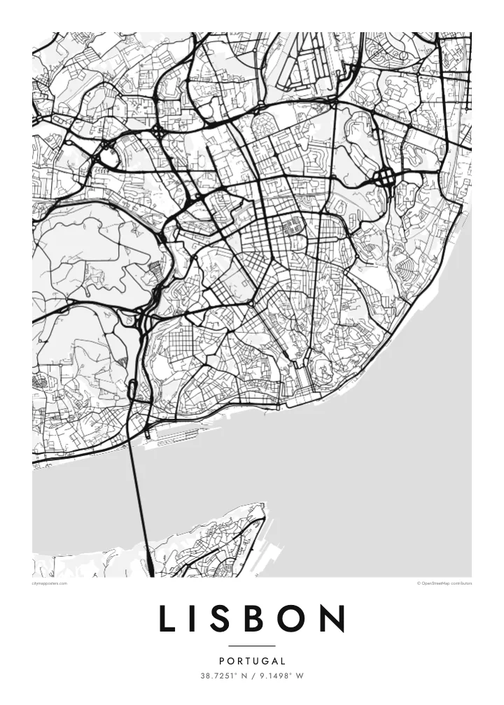
The rebuilt downtown between Rossio and Praça do Comércio is a clear rectangular grid in the middle of the hills. It stands out immediately against the irregular lanes around it.
Minimalist map poster · Portugal
38.7251° N / 9.1498° W
Hills, a gridded valley and a wide estuary, all spanned by two long bridges across the Tagus
One city, five moods
Tap a style to see it on the wall. Every style costs the same — printed, framed or as HD files.
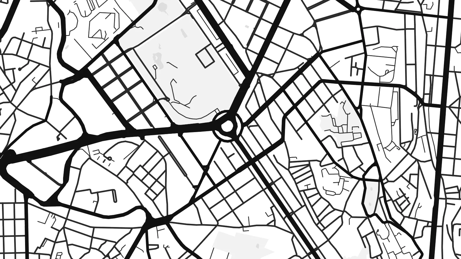 Actual pixels · 24 × 36″ print file
Print-sharp
This is a 100% crop of the real print file. Every poster — printed, framed or downloaded — is rendered on our servers at 300 DPI, up to 7,200 × 10,800 pixels, so even the smallest lanes stay crisp on a 24 × 36″ print.
On the wall
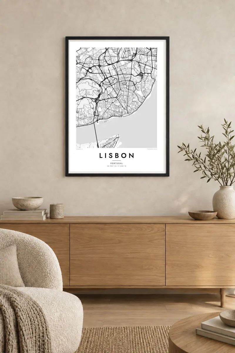
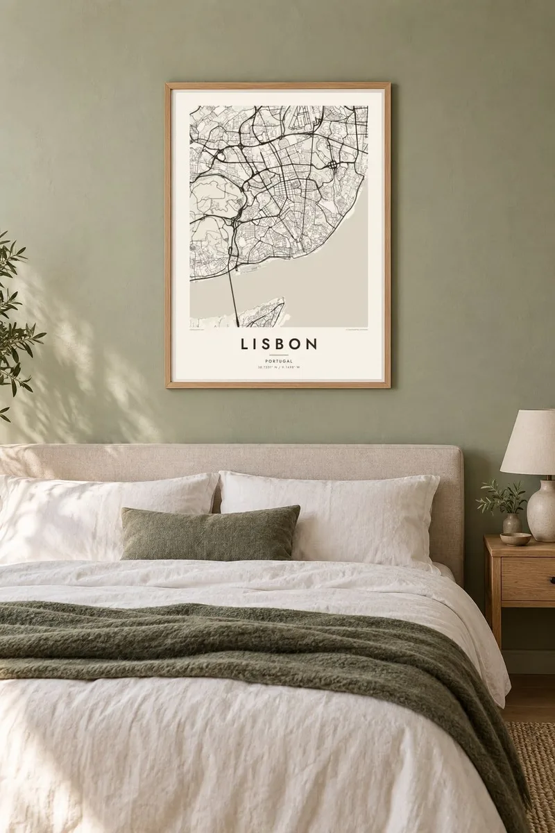
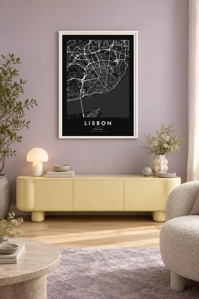
The map
Lisbon rises from the north bank of the Tagus where the river widens into an estuary before reaching the Atlantic. The city is spread across a series of steep hills, and from above the streets reflect it: tangled alleys in Alfama and Mouraria, a regular grid in the valley of the Baixa, and long avenues pushing north onto higher, flatter ground.
The Baixa grid is the result of the rebuilding that followed the 1755 earthquake. It runs from the Rossio down to the Praça do Comércio, a large square that opens directly onto the river. Avenida da Liberdade continues the line north, and the later districts of the Avenidas Novas lay out a wider, more open grid around it.
The water gives a Lisbon map poster much of its character. The 25 de Abril Bridge crosses to Almada in the west, the much longer Vasco da Gama Bridge crosses the estuary in the east, and the forested Monsanto Park forms a large blank space on the western side of the city. Few European capitals have such a strong contrast between tight streets and open water.
The rebuilt downtown between Rossio and Praça do Comércio is a clear rectangular grid in the middle of the hills. It stands out immediately against the irregular lanes around it.
The red suspension bridge to Almada and the Vasco da Gama Bridge, one of the longest in Europe, draw two strong lines across the estuary.
A large wooded park on the western hills, crossed only by a few winding roads. On the poster it forms a quiet, open area next to the dense city.
Make it yours
Add a date, a name or a line of your own, switch style, size or orientation.
The free preview is low-resolution with a watermark. Prints and HD files are rendered at 300 DPI, up to 7,200 × 10,800 px, without a watermark.
Why Lisbon
Lisbon is a city people fall for quickly, whether on a first trip, a long stay or a move for work. A map of its hills and river is a calmer souvenir than a photograph and still easy to recognise at a glance.
Set the title and subtitle to mark a honeymoon, a new address or the year you lived there, and edit the coordinates line if you want a specific point. Choose from five styles; Blueprint and Noir make the estuary especially striking.
Order the Lisbon poster| Print size | Resolution | Files |
|---|---|---|
| 30 × 40 cm11.8 × 15.7″ | 3,543 × 4,724 px | PNG · PDF |
| 29.7 × 42 cm (A3)11.7 × 16.5″ | 3,508 × 4,961 px | PNG · PDF |
| 42 × 59.4 cm (A2)16.5 × 23.4″ | 4,961 × 7,016 px | PNG · PDF |
| 45.7 × 61 cm18 × 24″ | 5,400 × 7,200 px | PNG · PDF |
| 50 × 70 cm19.7 × 27.6″ | 5,906 × 8,268 px | PNG · PDF |
| 61 × 91.4 cm24 × 36″ | 7,200 × 10,800 px | PNG · PDF |
For comparison, the free preview is 900 px wide, watermarked and meant for screens. The HD files have up to 8× the resolution in each direction and print cleanly at full poster size.
Pick a style at the top of the page, then choose Printed Poster — a size and, if you like, a frame — or Digital HD Files. Checkout takes one step, and your order page updates as soon as the payment goes through.
It is printed on premium 200 gsm matte paper in one of six sizes, from 30 × 40 cm to 24 × 36″. Printed posters start at $39, shipping included.
Yes. Choose a solid wood frame in black, white, natural oak or dark wood. It comes with shatterproof glazing and is ready to hang. Framed posters start at $99, shipping included.
Shipping is free to 60+ countries. Each poster is printed by the nearest of our print partners in 30+ countries and usually arrives in 3–7 business days. You can follow the status and tracking under My Orders. A few countries take 2–5 weeks, and where we don't ship yet, the site tells you before you pay.
Send us a photo within 14 days of delivery and we will reprint it for free or refund you.
Yes. In the editor on this page, change the title, the subtitle and the coordinates line to anything you like, and pick a style and size. Printed, framed and digital orders all use exactly your design.
For $9 you get 300 DPI PNG and print-ready PDF files in all six sizes, without a watermark, to print anywhere. Not sure yet? Download a free watermarked preview first.
Nearby
