Downtown grid
Numbered avenues cross lettered streets in a clear, logical pattern on the bluff above Ship Creek and the port, the most orderly part of the map.
Minimalist map poster · United States
61.2181° N / 149.9003° W
A northern city on a lowland between two arms of Cook Inlet, backed by the steep front of the Chugach Mountains

One city, five moods
Tap a style to see it on the wall. Every style costs the same — printed, framed or as HD files.
 Actual pixels · 24 × 36″ print file
Print-sharp
This is a 100% crop of the real print file. Every poster — printed, framed or downloaded — is rendered on our servers at 300 DPI, up to 7,200 × 10,800 pixels, so even the smallest lanes stay crisp on a 24 × 36″ print.
On the wall
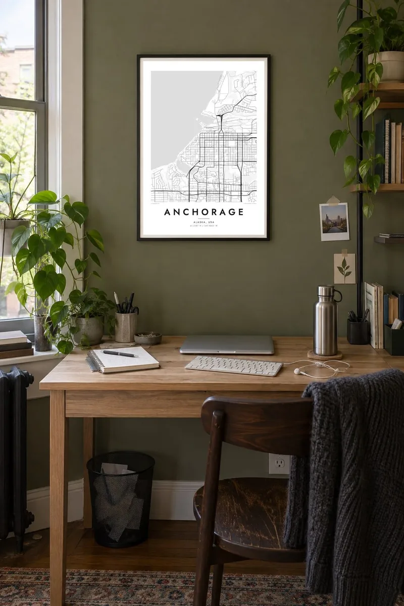


The map
Anchorage sits on a broad lowland between Knik Arm and Turnagain Arm, the two branches at the head of Cook Inlet, with the Chugach Mountains rising abruptly to the east. Downtown is laid out on a simple grid of numbered avenues and lettered streets. From there the city spreads south and east across a wide bowl of neighbourhoods, greenbelts and creeks.
The city grew from a railroad construction camp in 1914 and was reshaped by the 1964 earthquake, which set off major landslides along the coast. Earthquake Park now marks one of them. Lake Hood, next to the international airport, is among the busiest seaplane bases in the world, and the Tony Knowles Coastal Trail follows the shoreline for miles.
An Anchorage map poster shows a city defined by edges: tidal flats along the inlet, the sharp line where the mountains begin, and the long green corridors of creeks such as Chester and Campbell running between neighbourhoods. The regular downtown grid and the lakes by the airport make strong focal points in the composition.
Numbered avenues cross lettered streets in a clear, logical pattern on the bluff above Ship Creek and the port, the most orderly part of the map.
Lake Hood and Lake Spenard, joined together beside the airport, form a distinctive pair of water shapes and are busy with floatplanes for much of the year.
The trail follows the curving shoreline of Knik Arm past Earthquake Park and Point Woronzof, tracing the edge where the city meets the tidal flats.
Make it yours
Add a date, a name or a line of your own, switch style, size or orientation.
The free preview is low-resolution with a watermark. Prints and HD files are rendered at 300 DPI, up to 7,200 × 10,800 px, without a watermark.
Why Anchorage
Anchorage is a place of arrivals and departures: military families, seasonal workers, pilots and people who came for a few years and stayed. A map of the city holds that particular geography of home, between the inlet and the mountains.
Add a title, a subtitle with your posting or move-in date, and the coordinates line, then choose from five styles, such as Noir or Blueprint. Printed posters ship from partners in 30+ countries, and the $9 HD files include 18×24 and 24×36 inch sizes.
Order the Anchorage poster| Print size | Resolution | Files |
|---|---|---|
| 30 × 40 cm11.8 × 15.7″ | 3,543 × 4,724 px | PNG · PDF |
| 29.7 × 42 cm (A3)11.7 × 16.5″ | 3,508 × 4,961 px | PNG · PDF |
| 42 × 59.4 cm (A2)16.5 × 23.4″ | 4,961 × 7,016 px | PNG · PDF |
| 45.7 × 61 cm18 × 24″ | 5,400 × 7,200 px | PNG · PDF |
| 50 × 70 cm19.7 × 27.6″ | 5,906 × 8,268 px | PNG · PDF |
| 61 × 91.4 cm24 × 36″ | 7,200 × 10,800 px | PNG · PDF |
For comparison, the free preview is 900 px wide, watermarked and meant for screens. The HD files have up to 8× the resolution in each direction and print cleanly at full poster size.
Pick a style at the top of the page, then choose Printed Poster — a size and, if you like, a frame — or Digital HD Files. Checkout takes one step, and your order page updates as soon as the payment goes through.
It is printed on premium 200 gsm matte paper in one of six sizes, from 30 × 40 cm to 24 × 36″. Printed posters start at $39, shipping included.
Yes. Choose a solid wood frame in black, white, natural oak or dark wood. It comes with shatterproof glazing and is ready to hang. Framed posters start at $99, shipping included.
Shipping is free to 60+ countries. Each poster is printed by the nearest of our print partners in 30+ countries and usually arrives in 3–7 business days. You can follow the status and tracking under My Orders. A few countries take 2–5 weeks, and where we don't ship yet, the site tells you before you pay.
Send us a photo within 14 days of delivery and we will reprint it for free or refund you.
Yes. In the editor on this page, change the title, the subtitle and the coordinates line to anything you like, and pick a style and size. Printed, framed and digital orders all use exactly your design.
For $9 you get 300 DPI PNG and print-ready PDF files in all six sizes, without a watermark, to print anywhere. Not sure yet? Download a free watermarked preview first.
Nearby
