Back Bay grid
Built on filled tidal land, the neighbourhood's straight avenues and alphabetical streets, from Arlington to Hereford, form the city's most regular pattern and sit beside the curving Charles.
Minimalist map poster · United States
42.3584° N / 71.0598° W
A crooked colonial peninsula enlarged by landfill, framed by the Charles River, the harbour and a necklace of parks

One city, five moods
Tap a style to see it on the wall. Every style costs the same — printed, framed or as HD files.
 Actual pixels · 24 × 36″ print file
Print-sharp
This is a 100% crop of the real print file. Every poster — printed, framed or downloaded — is rendered on our servers at 300 DPI, up to 7,200 × 10,800 pixels, so even the smallest lanes stay crisp on a 24 × 36″ print.
On the wall
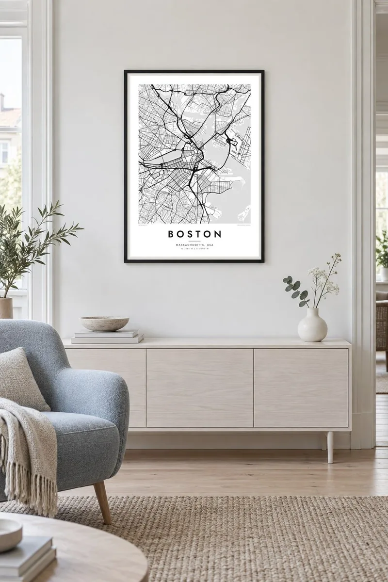
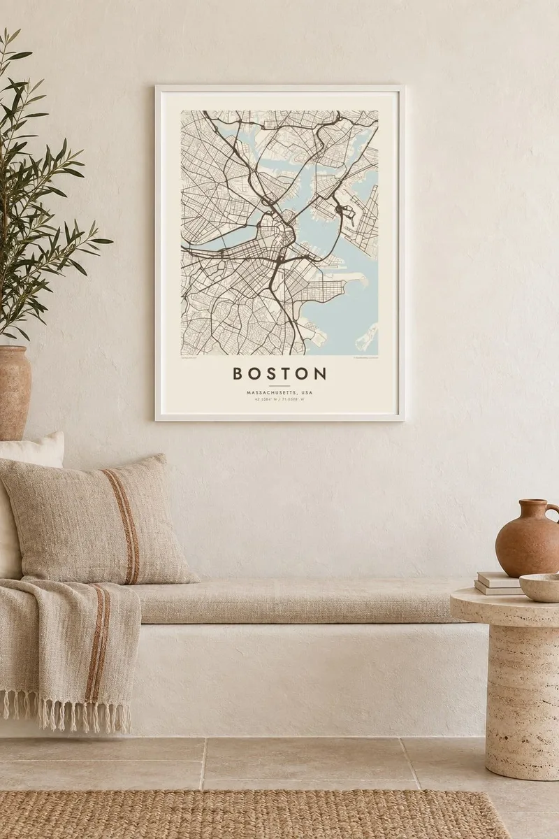
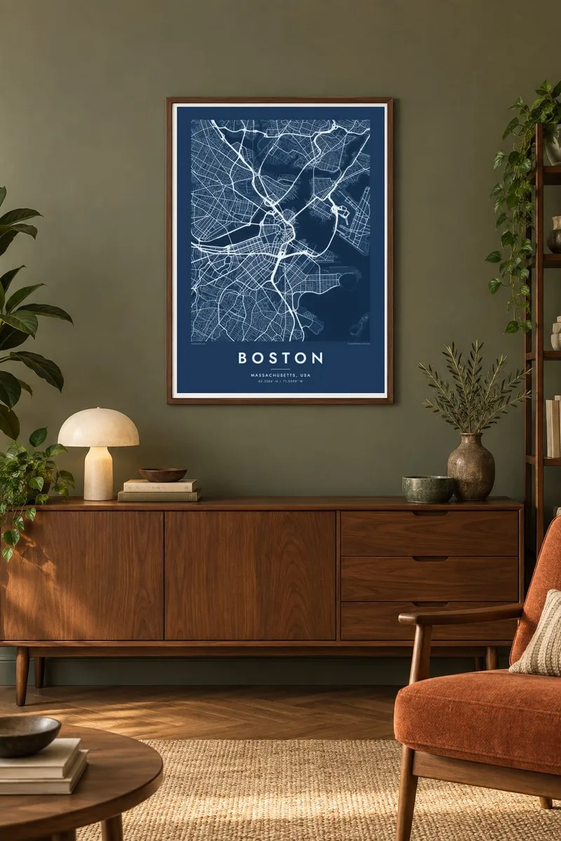
The map
Boston began on the small, hilly Shawmut Peninsula, which was joined to the mainland only by a narrow neck. Over the nineteenth century, hills were cut down and tidal flats filled in, and the city's outline changed almost beyond recognition. On today's map the original core still stands out, with streets meeting at odd angles in a pattern that goes back to the town's seventeenth-century beginnings.
Filling the Back Bay produced something completely different: long, straight avenues and a tidy grid with alphabetical cross streets, running west from the Public Garden towards the Fenway. To the north, the Charles River widens into a basin between Boston and Cambridge, crossed by a series of bridges. To the east, the harbour, the islands and the airport on its own reclaimed land complete the frame.
Boston Common, set aside in 1634, is often described as the oldest public park in the United States. It anchors the Emerald Necklace, Frederick Law Olmsted's chain of parks linked by parkways and waterways. The Freedom Trail runs through the old streets past sites of the Revolution. A Boston map poster shows how centuries of planning and improvisation fit together.
Built on filled tidal land, the neighbourhood's straight avenues and alphabetical streets, from Arlington to Hereford, form the city's most regular pattern and sit beside the curving Charles.
The wide, calm stretch of river between Boston and Cambridge lays a broad band of water across the top of the map, crossed by bridges such as the Longfellow and the Harvard.
Olmsted's chain of parks runs from the Common and the Public Garden through the Fens towards Franklin Park. It draws a curving green line through the south-western neighbourhoods.
Make it yours
Add a date, a name or a line of your own, switch style, size or orientation.
The free preview is low-resolution with a watermark. Prints and HD files are rendered at 300 DPI, up to 7,200 × 10,800 px, without a watermark.
Why Boston
Boston gathers people for important years: university, medical residency, a first job, a marathon finish. Many leave and later want the city on their wall. Put a school, a neighbourhood or a graduation date in the title and subtitle, and set the coordinates to the address that mattered.
The harbour and river look superb in Noir, and the old crooked streets take on an archival feel in Paper or Sand. Classic black & white and Blueprint are also available. Download six HD sizes for $9, including 18×24″ and 24×36″, or order a matte print with an optional wooden frame.
Order the Boston poster| Print size | Resolution | Files |
|---|---|---|
| 30 × 40 cm11.8 × 15.7″ | 3,543 × 4,724 px | PNG · PDF |
| 29.7 × 42 cm (A3)11.7 × 16.5″ | 3,508 × 4,961 px | PNG · PDF |
| 42 × 59.4 cm (A2)16.5 × 23.4″ | 4,961 × 7,016 px | PNG · PDF |
| 45.7 × 61 cm18 × 24″ | 5,400 × 7,200 px | PNG · PDF |
| 50 × 70 cm19.7 × 27.6″ | 5,906 × 8,268 px | PNG · PDF |
| 61 × 91.4 cm24 × 36″ | 7,200 × 10,800 px | PNG · PDF |
For comparison, the free preview is 900 px wide, watermarked and meant for screens. The HD files have up to 8× the resolution in each direction and print cleanly at full poster size.
Pick a style at the top of the page, then choose Printed Poster — a size and, if you like, a frame — or Digital HD Files. Checkout takes one step, and your order page updates as soon as the payment goes through.
It is printed on premium 200 gsm matte paper in one of six sizes, from 30 × 40 cm to 24 × 36″. Printed posters start at $39, shipping included.
Yes. Choose a solid wood frame in black, white, natural oak or dark wood. It comes with shatterproof glazing and is ready to hang. Framed posters start at $99, shipping included.
Shipping is free to 60+ countries. Each poster is printed by the nearest of our print partners in 30+ countries and usually arrives in 3–7 business days. You can follow the status and tracking under My Orders. A few countries take 2–5 weeks, and where we don't ship yet, the site tells you before you pay.
Send us a photo within 14 days of delivery and we will reprint it for free or refund you.
Yes. In the editor on this page, change the title, the subtitle and the coordinates line to anything you like, and pick a style and size. Printed, framed and digital orders all use exactly your design.
For $9 you get 300 DPI PNG and print-ready PDF files in all six sizes, without a watermark, to print anywhere. Not sure yet? Download a free watermarked preview first.
Nearby
