Gezira and Roda
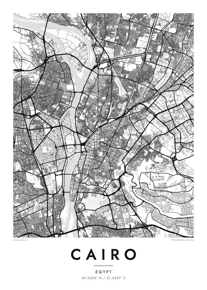
Two elongated islands in the Nile. Gezira holds Zamalek's leafy streets and sports grounds; Roda lies to the south near Old Cairo. Both show clearly as shaped land within the river.
Minimalist map poster · Egypt
30.0626° N / 31.2497° E
The Nile running north through a vast city, parting around Gezira and Roda, with the old Islamic quarter dense to the east.
One city, five moods
Tap a style to see it on the wall. Every style costs the same — printed, framed or as HD files.
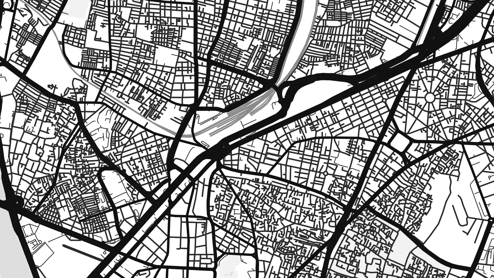 Actual pixels · 24 × 36″ print file
Print-sharp
This is a 100% crop of the real print file. Every poster — printed, framed or downloaded — is rendered on our servers at 300 DPI, up to 7,200 × 10,800 pixels, so even the smallest lanes stay crisp on a 24 × 36″ print.
On the wall


The map
Cairo is organised around the Nile, which flows north through the city in a broad channel before fanning out into the delta beyond. Two long islands sit in the river: Gezira, home to Zamalek and the Cairo Tower, and Roda further south. Bridges tie them to both banks, so the map reads as a sequence of crossings stacked along the water.
East of the river, downtown was laid out in the nineteenth century under Khedive Ismail, with boulevards and squares arranged in a European manner around what is now Tahrir Square. Further east the streets change completely. Historic Cairo, a UNESCO World Heritage Site, is a close web of lanes, mosques and courtyards leading up to the Citadel on its spur of the Mokattam hills.
The Pyramids of Giza stand on the desert plateau west of the river, at the edge of the wider metropolitan area, and the city's ring road loops out toward them. A Cairo map poster brings these layers together: the medieval street pattern, the planned downtown and the Nile, which in black and white becomes the calm centre of a very dense composition.
Two elongated islands in the Nile. Gezira holds Zamalek's leafy streets and sports grounds; Roda lies to the south near Old Cairo. Both show clearly as shaped land within the river.
The old city east of downtown, with Al-Muizz Street, Khan el-Khalili and hundreds of mosques. Its narrow, irregular lanes form the most intricate texture anywhere on the map.
Saladin's twelfth-century citadel sits on a rise at the foot of the Mokattam hills, where the dense street pattern gives way to open ground and the long ridge to the east.
Make it yours
Add a date, a name or a line of your own, switch style, size or orientation.
The free preview is low-resolution with a watermark. Prints and HD files are rendered at 300 DPI, up to 7,200 × 10,800 px, without a watermark.
Why Cairo
Cairo is one of those cities that stays with people, whether they grew up in Heliopolis, studied at a university downtown or spent a week between the museums and the old markets. A map of its streets is a quieter reminder than any souvenir.
Write your own title and subtitle, keep or edit the coordinates line, and choose one of five styles. Sand suits the desert light, while Noir gives the river strong contrast. Printed posters on matte paper ship from partners in more than 30 countries.
Order the Cairo poster| Print size | Resolution | Files |
|---|---|---|
| 30 × 40 cm11.8 × 15.7″ | 3,543 × 4,724 px | PNG · PDF |
| 29.7 × 42 cm (A3)11.7 × 16.5″ | 3,508 × 4,961 px | PNG · PDF |
| 42 × 59.4 cm (A2)16.5 × 23.4″ | 4,961 × 7,016 px | PNG · PDF |
| 45.7 × 61 cm18 × 24″ | 5,400 × 7,200 px | PNG · PDF |
| 50 × 70 cm19.7 × 27.6″ | 5,906 × 8,268 px | PNG · PDF |
| 61 × 91.4 cm24 × 36″ | 7,200 × 10,800 px | PNG · PDF |
For comparison, the free preview is 900 px wide, watermarked and meant for screens. The HD files have up to 8× the resolution in each direction and print cleanly at full poster size.
Pick a style at the top of the page, then choose Printed Poster — a size and, if you like, a frame — or Digital HD Files. Checkout takes one step, and your order page updates as soon as the payment goes through.
It is printed on premium 200 gsm matte paper in one of six sizes, from 30 × 40 cm to 24 × 36″. Printed posters start at $39, shipping included.
Yes. Choose a solid wood frame in black, white, natural oak or dark wood. It comes with shatterproof glazing and is ready to hang. Framed posters start at $99, shipping included.
Shipping is free to 60+ countries. Each poster is printed by the nearest of our print partners in 30+ countries and usually arrives in 3–7 business days. You can follow the status and tracking under My Orders. A few countries take 2–5 weeks, and where we don't ship yet, the site tells you before you pay.
Send us a photo within 14 days of delivery and we will reprint it for free or refund you.
Yes. In the editor on this page, change the title, the subtitle and the coordinates line to anything you like, and pick a style and size. Printed, framed and digital orders all use exactly your design.
For $9 you get 300 DPI PNG and print-ready PDF files in all six sizes, without a watermark, to print anywhere. Not sure yet? Download a free watermarked preview first.
Nearby
