El Ávila mountain
The Waraira Repano national park rises directly north of the city. On the map it leaves a large empty space, making the valley shape of Caracas unusually clear.
Minimalist map poster · Venezuela
A long, narrow city squeezed into a mountain valley, with El Ávila forming a wall along its northern edge
10.4880° N / 66.8792° W


One city, five moods
Tap a style to see it on the wall. Every style is included in the same $9 price.
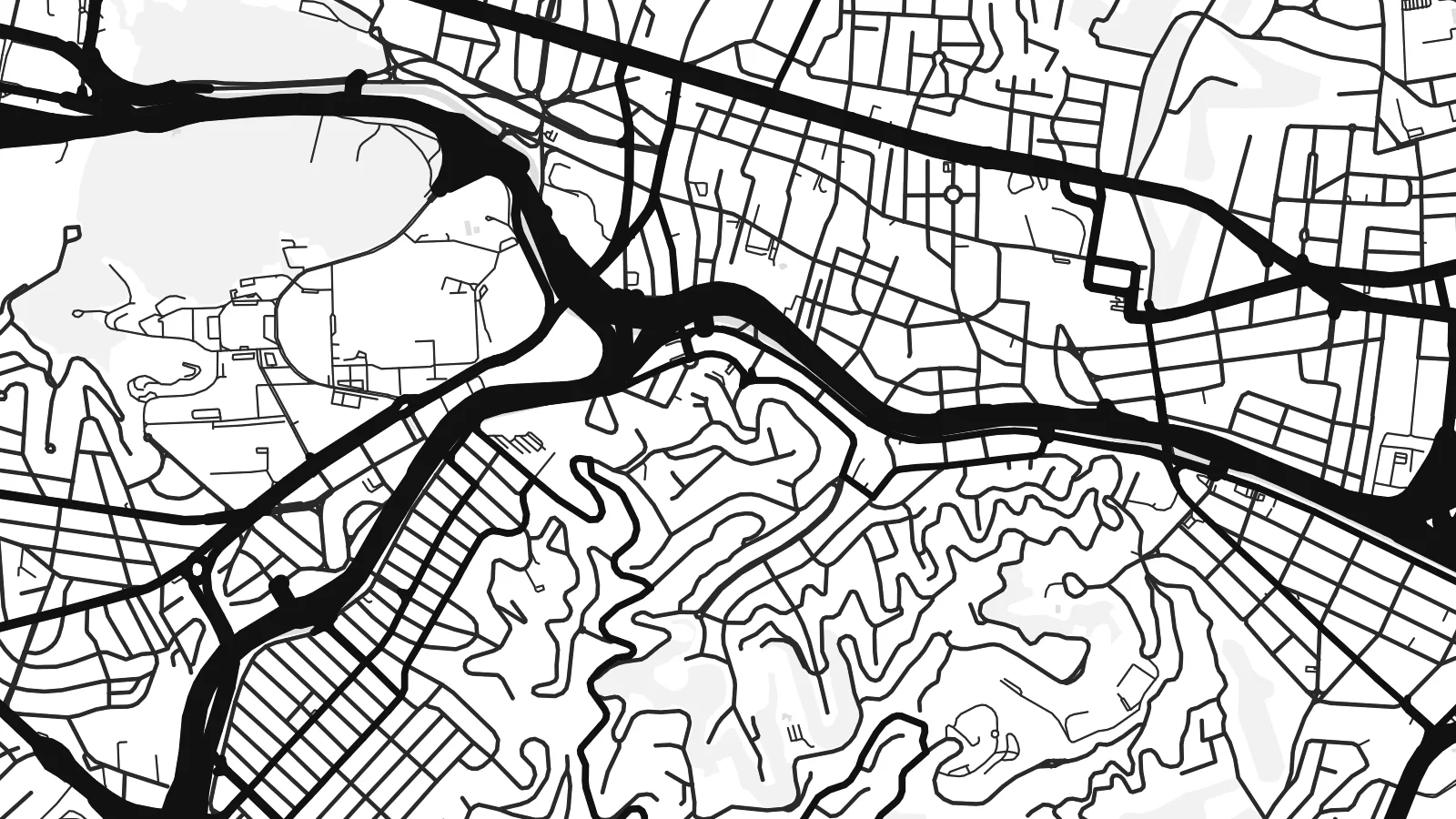 Actual pixels · 24 × 36″ HD file
Print-sharp
This is a crop of the real HD file at 100%. The paid download is rendered on our servers at 300 DPI, up to 7,200 × 10,800 pixels, so even the smallest lanes stay crisp on a 24 × 36″ print.
The map
Caracas lies in a valley about 900 metres above sea level, separated from the Caribbean by the mountain range of El Ávila, also known as Waraira Repano. From above, the city is drawn as a long east–west band. Its northern edge stops sharply where the national park begins, while the southern hills are covered in dense, irregular streets.
The Guaire River runs along the valley floor in a straightened channel, followed closely by the main east–west highway. Around them sit the formal districts: the colonial grid around Plaza Bolívar in the west, and newer areas such as Altamira, Chacao and Las Mercedes to the east. The hillside barrios form a very different, organic texture of paths and stairways.
The Ciudad Universitaria de Caracas, designed by Carlos Raúl Villanueva, is a UNESCO World Heritage Site and shows up as a large planned campus in the centre of the valley. Caracas is also the birthplace of Simón Bolívar. A Caracas map poster captures the contrast between the regular valley grid and the steep, crowded slopes around it.
The Waraira Repano national park rises directly north of the city. On the map it leaves a large empty space, making the valley shape of Caracas unusually clear.
The canalised Guaire River runs through the valley from west to east, with the main highway alongside it. Together they form the city's central line.
Villanueva's modernist university campus is a UNESCO World Heritage Site. Its large, planned layout of buildings and green spaces stands out among the surrounding streets.
Make it yours
Add a date, a name or a line of your own, switch style, size or orientation.
Free preview is low-resolution with a watermark. The HD version is 7,200 × 10,800 px, 300 DPI, no watermark.
Why Caracas
Many people hang Caracas to stay connected to a city they left, or to remember family neighbourhoods on the hills and in the valley. With the mountain wall and the long valley, the map is instantly recognisable.
Add your own title, subtitle and coordinates line, perhaps a barrio name or a year, and choose from Classic black & white, Noir, Paper, Blueprint and Sand. It is available as a $9 digital download or as a printed poster.
Get the Caracas poster — $9| Print size | Resolution | Files |
|---|---|---|
| 30 × 40 cm | 3,543 × 4,724 px | PNG · PDF |
| 50 × 70 cm | 5,906 × 8,268 px | PNG · PDF |
| A3 · 29.7 × 42 cm | 3,508 × 4,961 px | PNG · PDF |
| A2 · 42 × 59.4 cm | 4,961 × 7,016 px | PNG · PDF |
| 18 × 24" | 5,400 × 7,200 px | PNG · PDF |
| 24 × 36" | 7,200 × 10,800 px | PNG · PDF |
For comparison, the free preview is 900 px wide, watermarked and meant for screens. The HD files have up to 8× the resolution in each direction and print cleanly at full poster size.
Yes. Drag and zoom the map in the editor — centre it on your neighbourhood, the old town or the whole metro area. The text updates independently.
The HD purchase includes 30×40 cm, 50×70 cm, A3, A2, 18×24″ and 24×36″, each as a 300 DPI PNG and a print-ready PDF.
You can download a free 900 px preview with a watermark. The paid HD files have no watermark and are sharp enough for large prints.
Send the PDF to any local print shop or online printing service and ask for the matching paper size. Matte paper and a thin black or oak frame suit this style best.
Nearby
