Concentric ring roads
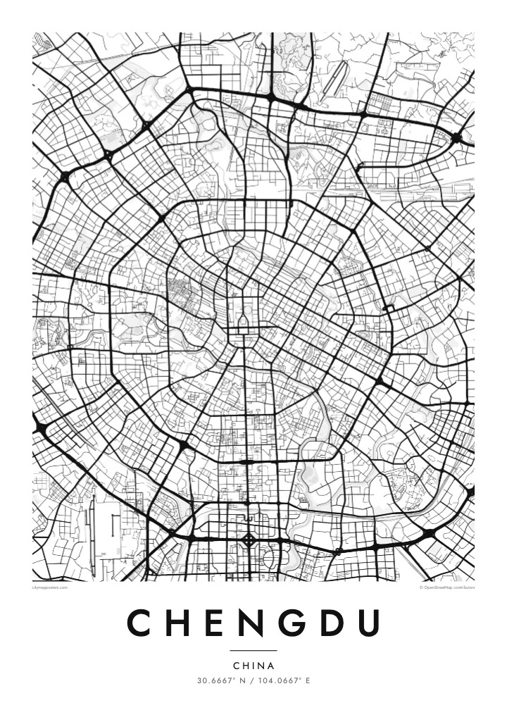
Several ring roads circle the centre at steady intervals, giving Chengdu one of the most legible layouts of any large city and a strong, almost geometric outline.
Minimalist map poster · China
A flat plain city drawn in concentric rings, its old centre wrapped by two rivers and radiating roads
30.6667° N / 104.0667° E
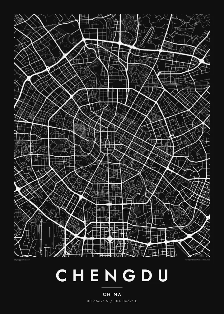
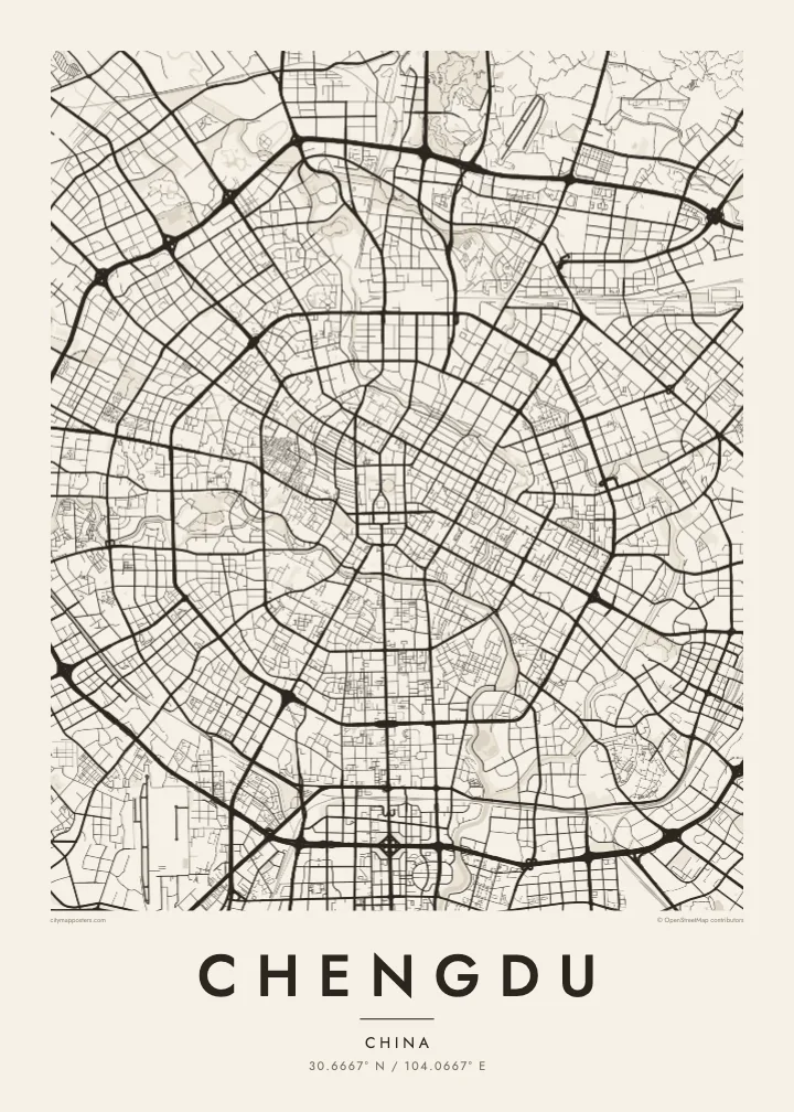

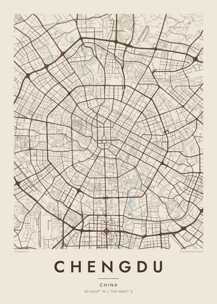
One city, five moods
Tap a style to see it on the wall. Every style is included in the same $9 price.
 Actual pixels · 24 × 36″ HD file
Print-sharp
This is a crop of the real HD file at 100%. The paid download is rendered on our servers at 300 DPI, up to 7,200 × 10,800 pixels, so even the smallest lanes stay crisp on a 24 × 36″ print.
The map
Chengdu sits on a wide, level plain in western Sichuan, and without hills to bend it the city has grown outward in rings. Seen from above, it looks almost like a target: a dense centre around Tianfu Square, then a series of ring roads, numbered from the First Ring outward, each circle wider than the last, with major avenues radiating from the middle like spokes.
Water frames the heart of the city. The Fu and Nan rivers, together often called the Jin River, curve around the old centre, enclosing the area where the historic walled city once stood. Within that loop the streets are finer and closer together, including the preserved lanes of Kuanzhai Xiangzi, while the newer districts beyond show larger blocks and broader roads.
A Chengdu map poster captures this unusually clear structure. The rings and rivers give it a calm, balanced composition, and the growth to the south toward Tianfu New Area stretches the pattern into a longer shape. To the north lies the well-known Giant Panda Breeding Research Base, one of the reasons many visitors first come to the city.
Several ring roads circle the centre at steady intervals, giving Chengdu one of the most legible layouts of any large city and a strong, almost geometric outline.
The Fu and Nan rivers wrap around the historic core, drawing a soft oval of water around the densest part of the map before joining to the southeast.
A long avenue runs south from Tianfu Square through the rings toward the newer districts, forming a clear central line that anchors the whole composition.
Make it yours
Move the map, add a date, a name or a line of your own, switch style or orientation.
Free preview is low-resolution with a watermark. The HD version is 7,200 × 10,800 px, 300 DPI, no watermark.
Why Chengdu
Chengdu is a city of teahouses, long meals and slow afternoons, and people often feel attached to it long after they leave. A map poster keeps that connection visible, whether it hangs in a home in the city, recalls a trip to see the pandas or is given to someone from Sichuan.
You can add a title and a meaningful date, and choose one of five styles: Classic black & white, Noir, Paper, Blueprint or Sand. The ring roads and river loop make a clean, balanced design in each of them.
Get the Chengdu poster — $9| Print size | Resolution | Files |
|---|---|---|
| 30 × 40 cm | 3,543 × 4,724 px | PNG · PDF |
| 50 × 70 cm | 5,906 × 8,268 px | PNG · PDF |
| A3 · 29.7 × 42 cm | 3,508 × 4,961 px | PNG · PDF |
| A2 · 42 × 59.4 cm | 4,961 × 7,016 px | PNG · PDF |
| 18 × 24" | 5,400 × 7,200 px | PNG · PDF |
| 24 × 36" | 7,200 × 10,800 px | PNG · PDF |
For comparison, the free preview is 900 px wide, watermarked and meant for screens. The HD files have up to 8× the resolution in each direction and print cleanly at full poster size.
Yes. Drag and zoom the map in the editor — centre it on your neighbourhood, the old town or the whole metro area. The text updates independently.
The HD purchase includes 30×40 cm, 50×70 cm, A3, A2, 18×24″ and 24×36″, each as a 300 DPI PNG and a print-ready PDF.
You can download a free 900 px preview with a watermark. The paid HD files have no watermark and are sharp enough for large prints.
Send the PDF to any local print shop or online printing service and ask for the matching paper size. Matte paper and a thin black or oak frame suit this style best.
Nearby
