River confluence
Waterways meet near the centre and divide the city into distinct sections, giving the poster a strong branching shape of pale water through the dense blocks.
Minimalist map poster · China
31.4678° N / 104.6817° E
A river-junction city on the Sichuan Basin's northwestern edge, divided into districts by meeting rivers and linked by bridges.

One city, five moods
Tap a style to see it on the wall. Every style costs the same — printed, framed or as HD files.
 Actual pixels · 24 × 36″ print file
Print-sharp
This is a 100% crop of the real print file. Every poster — printed, framed or downloaded — is rendered on our servers at 300 DPI, up to 7,200 × 10,800 pixels, so even the smallest lanes stay crisp on a 24 × 36″ print.
On the wall

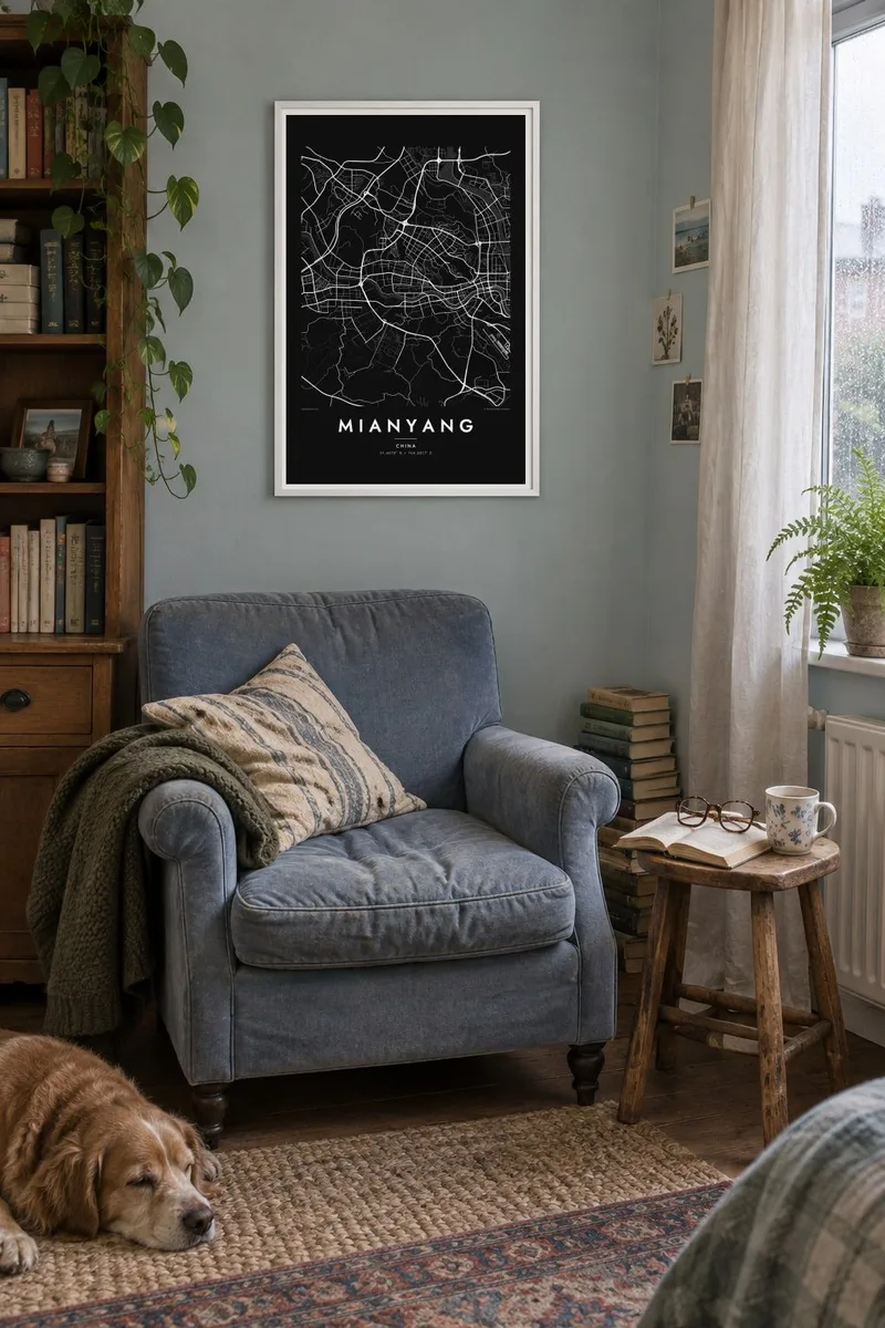
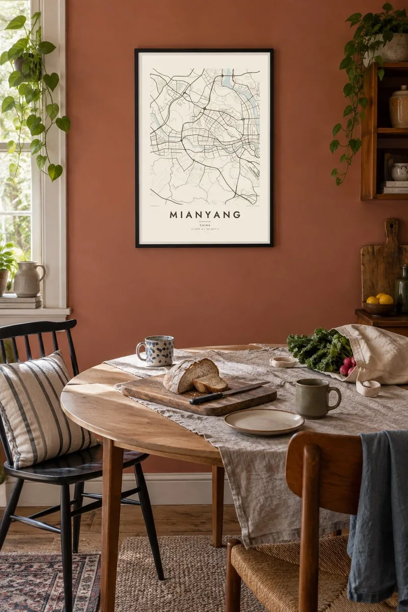
The map
Mianyang sits on the northwestern edge of the Sichuan Basin, where the plains begin to meet the mountains that lead toward northern Sichuan. The Fu River runs through the city, and tributaries including the Anchang join it within the urban area, so the map shows several blocks of districts separated by water and linked by a series of bridges.
The city is widely known as a centre of science and electronics. Major research institutes are based here, and the television and appliance maker Changhong has its headquarters in the city. This role has shaped newer districts of broad avenues, campuses and technology parks laid out on flatter land away from the old riverside core.
Mianyang was among the cities affected by the 2008 Wenchuan earthquake, and counties within its administration, including Beichuan, suffered some of the worst damage. The city itself has since continued to expand. A Mianyang map poster captures its defining pattern: rivers meeting in the centre, bridges tying the banks together and orderly new districts spreading outward.
Waterways meet near the centre and divide the city into distinct sections, giving the poster a strong branching shape of pale water through the dense blocks.
Many bridges cross the Fu River at close intervals, and embankment roads follow its banks, drawing parallel lines that frame the water on both sides.
Newer districts of wide avenues, research campuses and technology parks spread across flatter ground, their regular grids contrasting with the older streets near the river.
Make it yours
Add a date, a name or a line of your own, switch style, size or orientation.
The free preview is low-resolution with a watermark. Prints and HD files are rendered at 300 DPI, up to 7,200 × 10,800 px, without a watermark.
Why Mianyang
Mianyang has drawn engineers, researchers and students from across China, and many build a life there for years. A map of the city marks that chapter, whether it began with a job, a degree or a family move.
The title, subtitle and coordinates line can be changed to name a district, a campus or a date. Choose from Classic black & white, Noir, Paper, Blueprint and Sand; Blueprint suits a city associated with engineering.
Order the Mianyang poster| Print size | Resolution | Files |
|---|---|---|
| 30 × 40 cm11.8 × 15.7″ | 3,543 × 4,724 px | PNG · PDF |
| 29.7 × 42 cm (A3)11.7 × 16.5″ | 3,508 × 4,961 px | PNG · PDF |
| 42 × 59.4 cm (A2)16.5 × 23.4″ | 4,961 × 7,016 px | PNG · PDF |
| 45.7 × 61 cm18 × 24″ | 5,400 × 7,200 px | PNG · PDF |
| 50 × 70 cm19.7 × 27.6″ | 5,906 × 8,268 px | PNG · PDF |
| 61 × 91.4 cm24 × 36″ | 7,200 × 10,800 px | PNG · PDF |
For comparison, the free preview is 900 px wide, watermarked and meant for screens. The HD files have up to 8× the resolution in each direction and print cleanly at full poster size.
Pick a style at the top of the page, then choose Printed Poster — a size and, if you like, a frame — or Digital HD Files. Checkout takes one step, and your order page updates as soon as the payment goes through.
It is printed on premium 200 gsm matte paper in one of six sizes, from 30 × 40 cm to 24 × 36″. Printed posters start at $39, shipping included.
Yes. Choose a solid wood frame in black, white, natural oak or dark wood. It comes with shatterproof glazing and is ready to hang. Framed posters start at $99, shipping included.
Shipping is free to 60+ countries. Each poster is printed by the nearest of our print partners in 30+ countries and usually arrives in 3–7 business days. You can follow the status and tracking under My Orders. A few countries take 2–5 weeks, and where we don't ship yet, the site tells you before you pay.
Send us a photo within 14 days of delivery and we will reprint it for free or refund you.
Yes. In the editor on this page, change the title, the subtitle and the coordinates line to anything you like, and pick a style and size. Printed, framed and digital orders all use exactly your design.
For $9 you get 300 DPI PNG and print-ready PDF files in all six sizes, without a watermark, to print anywhere. Not sure yet? Download a free watermarked preview first.
Nearby
