Reclaimed bay edge
The shoreline runs in straight segments and right angles, the outline of land built out into Tokyo Bay. From above it is one of the most geometric coasts in Japan.
Minimalist map poster · Japan
35.6000° N / 140.1167° E
A Tokyo Bay city whose coastline was drawn by engineers, with straight reclaimed shores in front of an older town inland.

One city, five moods
Tap a style to see it on the wall. Every style costs the same — printed, framed or as HD files.
 Actual pixels · 24 × 36″ print file
Print-sharp
This is a 100% crop of the real print file. Every poster — printed, framed or downloaded — is rendered on our servers at 300 DPI, up to 7,200 × 10,800 pixels, so even the smallest lanes stay crisp on a 24 × 36″ print.
On the wall

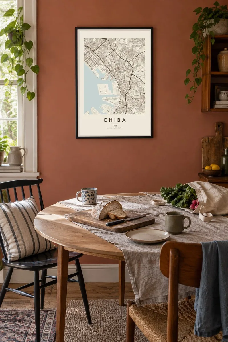
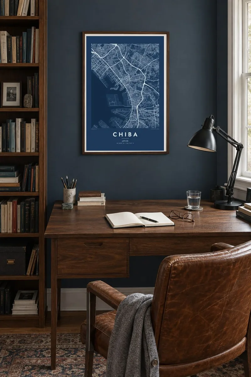
The map
Chiba sits on the eastern shore of Tokyo Bay, and its coastline is almost entirely man-made. Through the twentieth century, land was reclaimed from the shallows in long rectangles. The result is a waterfront of straight edges, square basins and planned districts. The natural shoreline once ran well inland, roughly where the older rail lines and the city centre are now.
Mihama Ward is built almost entirely on reclaimed land. It holds the Makuhari business district and the Makuhari Messe convention centre, as well as a long artificial beach at Inage. Inland, the streets turn smaller and more irregular. They climb onto the low plateau that covers much of Chiba Prefecture, where farmland and suburbs take over.
Chiba also runs the Chiba Urban Monorail, the longest suspended monorail system in the world, with cars hanging below the track. On a Chiba map poster the contrast is what stands out: ruled lines of reclaimed land along the bay, and the older, looser city pressing up against them from behind.
The shoreline runs in straight segments and right angles, the outline of land built out into Tokyo Bay. From above it is one of the most geometric coasts in Japan.
A planned district of wide avenues and big blocks around Makuhari Messe. Its tidy layout on the map is a clear sign of land that was designed rather than grown.
Away from the bay, the streets bend with the gentle rise of the Shimōsa plateau. Residential lanes branch off in a finer, less regular pattern.
Make it yours
Add a date, a name or a line of your own, switch style, size or orientation.
The free preview is low-resolution with a watermark. Prints and HD files are rendered at 300 DPI, up to 7,200 × 10,800 px, without a watermark.
Why Chiba
Chiba is where many people live or work within reach of Tokyo, and where plenty of travellers first arrive in Japan. A print of it celebrates a place that is often overlooked, with a coastline worth looking at twice.
The title, subtitle and coordinates line are all yours to edit, for a moving date, a neighbourhood or a name. The five styles range from Classic black & white and Noir to the softer Paper, Blueprint and Sand.
Order the Chiba poster| Print size | Resolution | Files |
|---|---|---|
| 30 × 40 cm11.8 × 15.7″ | 3,543 × 4,724 px | PNG · PDF |
| 29.7 × 42 cm (A3)11.7 × 16.5″ | 3,508 × 4,961 px | PNG · PDF |
| 42 × 59.4 cm (A2)16.5 × 23.4″ | 4,961 × 7,016 px | PNG · PDF |
| 45.7 × 61 cm18 × 24″ | 5,400 × 7,200 px | PNG · PDF |
| 50 × 70 cm19.7 × 27.6″ | 5,906 × 8,268 px | PNG · PDF |
| 61 × 91.4 cm24 × 36″ | 7,200 × 10,800 px | PNG · PDF |
For comparison, the free preview is 900 px wide, watermarked and meant for screens. The HD files have up to 8× the resolution in each direction and print cleanly at full poster size.
Pick a style at the top of the page, then choose Printed Poster — a size and, if you like, a frame — or Digital HD Files. Checkout takes one step, and your order page updates as soon as the payment goes through.
It is printed on premium 200 gsm matte paper in one of six sizes, from 30 × 40 cm to 24 × 36″. Printed posters start at $39, shipping included.
Yes. Choose a solid wood frame in black, white, natural oak or dark wood. It comes with shatterproof glazing and is ready to hang. Framed posters start at $99, shipping included.
Shipping is free to 60+ countries. Each poster is printed by the nearest of our print partners in 30+ countries and usually arrives in 3–7 business days. You can follow the status and tracking under My Orders. A few countries take 2–5 weeks, and where we don't ship yet, the site tells you before you pay.
Send us a photo within 14 days of delivery and we will reprint it for free or refund you.
Yes. In the editor on this page, change the title, the subtitle and the coordinates line to anything you like, and pick a style and size. Printed, framed and digital orders all use exactly your design.
For $9 you get 300 DPI PNG and print-ready PDF files in all six sizes, without a watermark, to print anywhere. Not sure yet? Download a free watermarked preview first.
Nearby
