Air base runways
Wright-Patterson's runways and airfield grounds form a large, open geometric shape next to the city. They are the most striking feature on the map.
Minimalist map poster · United States
39.8209° N / 84.0194° W
An Ohio city of mid-century streets pressed against the vast rectangle of an air force base and a university campus

One city, five moods
Tap a style to see it on the wall. Every style costs the same — printed, framed or as HD files.
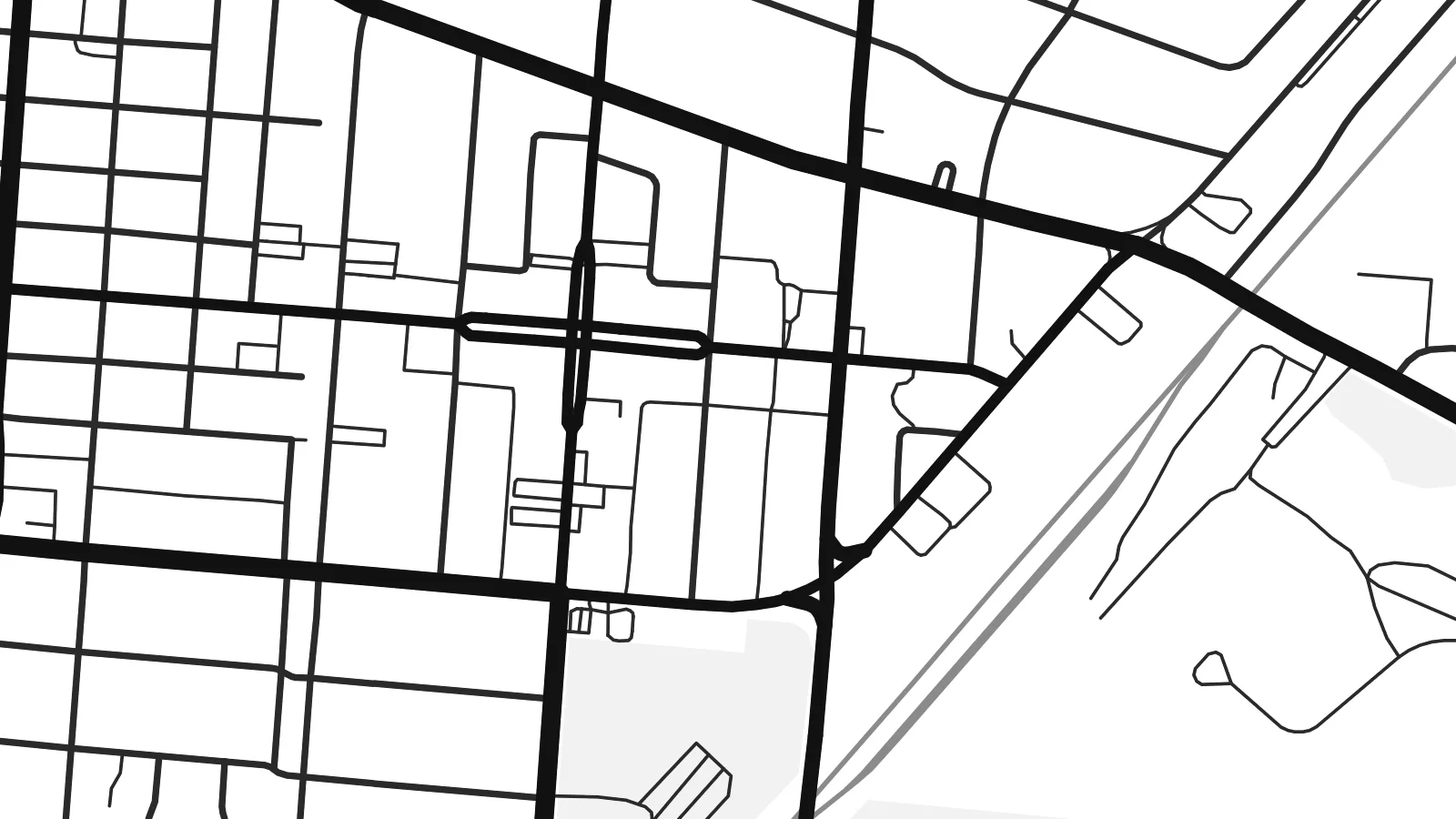 Actual pixels · 24 × 36″ print file
Print-sharp
This is a 100% crop of the real print file. Every poster — printed, framed or downloaded — is rendered on our servers at 300 DPI, up to 7,200 × 10,800 pixels, so even the smallest lanes stay crisp on a 24 × 36″ print.
On the wall


The map
Fairborn lies east of Dayton in Greene County, Ohio. Its map is shaped above all by its neighbour: Wright-Patterson Air Force Base, whose runways and broad open grounds take up a huge block of land beside the city. The residential streets sit alongside that expanse, with postwar grids and curving subdivisions reaching out toward farmland.
The city's name records its origins. In 1950, the villages of Fairfield and Osborn merged, and the new name was formed by joining parts of both. Wright State University's campus sits at the city's edge, and Huffman Prairie, where the Wright brothers refined their flying machines, is part of the landscape nearby.
A Fairborn map poster shows a town defined by the long history of flight. The long straight lines of the runways, the looping roads of the campus and the ordinary grid of homes and main streets all sit on one sheet. It is a good fit for anyone who served, studied or grew up here.
Wright-Patterson's runways and airfield grounds form a large, open geometric shape next to the city. They are the most striking feature on the map.
The university's grounds show up as a cluster of curving drives, parking areas and green space on the city's edge, quite different from the residential grid.
The older street patterns of the two villages that became Fairborn in 1950 are still visible in the centre, surrounded by later suburban growth.
Make it yours
Add a date, a name or a line of your own, switch style, size or orientation.
The free preview is low-resolution with a watermark. Prints and HD files are rendered at 300 DPI, up to 7,200 × 10,800 px, without a watermark.
Why Fairborn
Many people pass through Fairborn on assignment at the base or as students at Wright State. A map poster is a simple way to mark those years. It also suits families who have lived here long enough to watch the subdivisions spread.
Add a title, a subtitle such as a unit, a class year or a date, and the coordinates line. Then choose Classic black & white, Noir, Paper, Blueprint or Sand. Print it yourself from the HD file or order a framed print.
Order the Fairborn poster| Print size | Resolution | Files |
|---|---|---|
| 30 × 40 cm11.8 × 15.7″ | 3,543 × 4,724 px | PNG · PDF |
| 29.7 × 42 cm (A3)11.7 × 16.5″ | 3,508 × 4,961 px | PNG · PDF |
| 42 × 59.4 cm (A2)16.5 × 23.4″ | 4,961 × 7,016 px | PNG · PDF |
| 45.7 × 61 cm18 × 24″ | 5,400 × 7,200 px | PNG · PDF |
| 50 × 70 cm19.7 × 27.6″ | 5,906 × 8,268 px | PNG · PDF |
| 61 × 91.4 cm24 × 36″ | 7,200 × 10,800 px | PNG · PDF |
For comparison, the free preview is 900 px wide, watermarked and meant for screens. The HD files have up to 8× the resolution in each direction and print cleanly at full poster size.
Pick a style at the top of the page, then choose Printed Poster — a size and, if you like, a frame — or Digital HD Files. Checkout takes one step, and your order page updates as soon as the payment goes through.
It is printed on premium 200 gsm matte paper in one of six sizes, from 30 × 40 cm to 24 × 36″. Printed posters start at $39, shipping included.
Yes. Choose a solid wood frame in black, white, natural oak or dark wood. It comes with shatterproof glazing and is ready to hang. Framed posters start at $99, shipping included.
Shipping is free to 60+ countries. Each poster is printed by the nearest of our print partners in 30+ countries and usually arrives in 3–7 business days. You can follow the status and tracking under My Orders. A few countries take 2–5 weeks, and where we don't ship yet, the site tells you before you pay.
Send us a photo within 14 days of delivery and we will reprint it for free or refund you.
Yes. In the editor on this page, change the title, the subtitle and the coordinates line to anything you like, and pick a style and size. Printed, framed and digital orders all use exactly your design.
For $9 you get 300 DPI PNG and print-ready PDF files in all six sizes, without a watermark, to print anywhere. Not sure yet? Download a free watermarked preview first.
Nearby
