Theodosian Walls
The fifth-century land walls run for several kilometres from the Golden Horn to the Marmara coast. They form the western edge of the old city and one of the straightest lines on the map.
Minimalist map poster · Turkey
41.0225° N / 28.9408° E
The historic peninsula of Istanbul, bounded by the Golden Horn, the Sea of Marmara and a straight line of land walls.

One city, five moods
Tap a style to see it on the wall. Every style costs the same — printed, framed or as HD files.
 Actual pixels · 24 × 36″ print file
Print-sharp
This is a 100% crop of the real print file. Every poster — printed, framed or downloaded — is rendered on our servers at 300 DPI, up to 7,200 × 10,800 pixels, so even the smallest lanes stay crisp on a 24 × 36″ print.
On the wall
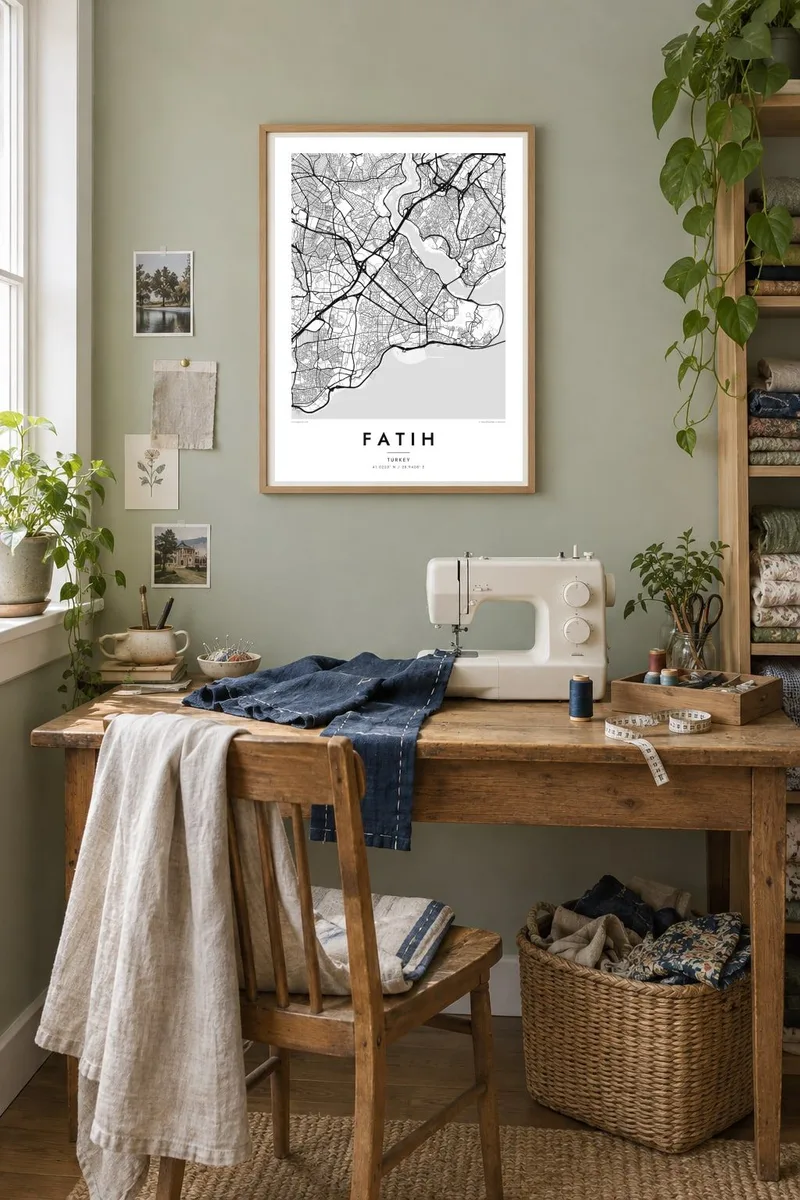

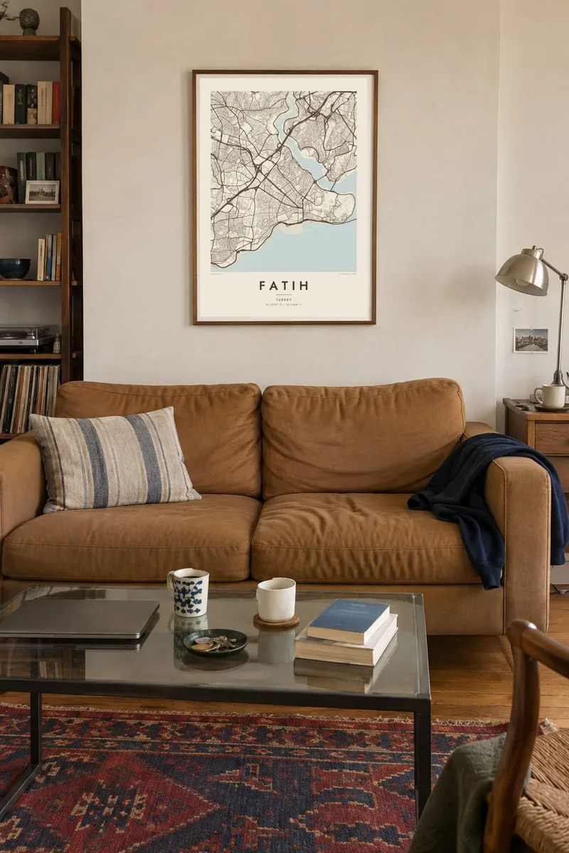
The map
Fatih covers almost the entire historic peninsula of Istanbul, and its outline is one of the most recognisable on any map. Water surrounds it on two sides: the curving inlet of the Golden Horn to the north and the Sea of Marmara to the south. They meet at the point where the Bosphorus opens. On the landward west, the Theodosian Walls run in a nearly straight line from shore to shore.
Inside this triangle the streets are dense and irregular. They were shaped by Byzantine and Ottoman layers and by the seven hills on which the old city was built. Great mosques such as the Süleymaniye crown several of the hilltops. Hagia Sophia, the Blue Mosque and Topkapı Palace occupy the tip of the peninsula, and the Grand Bazaar forms a covered maze near the centre.
The district is named after Mehmed the Conqueror, known in Turkish as Fatih, who took the city in 1453. A Fatih map poster shows its fine-grained street pattern set against open water. Bridges such as the Galata and Atatürk reach across the Golden Horn toward Beyoğlu, and ferry piers line the shore.
The fifth-century land walls run for several kilometres from the Golden Horn to the Marmara coast. They form the western edge of the old city and one of the straightest lines on the map.
At the tip of the peninsula, Topkapı Palace and Gülhane Park form a green, open headland where the Golden Horn, the Bosphorus and the Sea of Marmara meet.
The Roman aqueduct crosses a valley between two of the city's hills. A major boulevard passes beneath it, and its long straight line is easy to see in the street pattern.
Make it yours
Add a date, a name or a line of your own, switch style, size or orientation.
The free preview is low-resolution with a watermark. Prints and HD files are rendered at 300 DPI, up to 7,200 × 10,800 px, without a watermark.
Why Fatih
Few places hold as much history per square kilometre as Fatih, and its shape, a peninsula held between two waters and a wall, makes a striking poster. It suits anyone who has lived in Istanbul, returned to it often or still remembers a first walk across the Galata Bridge. You can change the title, subtitle and coordinates.
Choose from Classic black and white, Noir, Paper, Blueprint and Sand. Noir gives the dense streets a dark, dramatic setting, while Paper keeps them light and archival. Printed posters on matte paper ship from partners in more than 30 countries, or download the HD files for $9.
Order the Fatih poster| Print size | Resolution | Files |
|---|---|---|
| 30 × 40 cm11.8 × 15.7″ | 3,543 × 4,724 px | PNG · PDF |
| 29.7 × 42 cm (A3)11.7 × 16.5″ | 3,508 × 4,961 px | PNG · PDF |
| 42 × 59.4 cm (A2)16.5 × 23.4″ | 4,961 × 7,016 px | PNG · PDF |
| 45.7 × 61 cm18 × 24″ | 5,400 × 7,200 px | PNG · PDF |
| 50 × 70 cm19.7 × 27.6″ | 5,906 × 8,268 px | PNG · PDF |
| 61 × 91.4 cm24 × 36″ | 7,200 × 10,800 px | PNG · PDF |
For comparison, the free preview is 900 px wide, watermarked and meant for screens. The HD files have up to 8× the resolution in each direction and print cleanly at full poster size.
Pick a style at the top of the page, then choose Printed Poster — a size and, if you like, a frame — or Digital HD Files. Checkout takes one step, and your order page updates as soon as the payment goes through.
It is printed on premium 200 gsm matte paper in one of six sizes, from 30 × 40 cm to 24 × 36″. Printed posters start at $39, shipping included.
Yes. Choose a solid wood frame in black, white, natural oak or dark wood. It comes with shatterproof glazing and is ready to hang. Framed posters start at $99, shipping included.
Shipping is free to 60+ countries. Each poster is printed by the nearest of our print partners in 30+ countries and usually arrives in 3–7 business days. You can follow the status and tracking under My Orders. A few countries take 2–5 weeks, and where we don't ship yet, the site tells you before you pay.
Send us a photo within 14 days of delivery and we will reprint it for free or refund you.
Yes. In the editor on this page, change the title, the subtitle and the coordinates line to anything you like, and pick a style and size. Printed, framed and digital orders all use exactly your design.
For $9 you get 300 DPI PNG and print-ready PDF files in all six sizes, without a watermark, to print anywhere. Not sure yet? Download a free watermarked preview first.
Nearby
