Commuter rail line
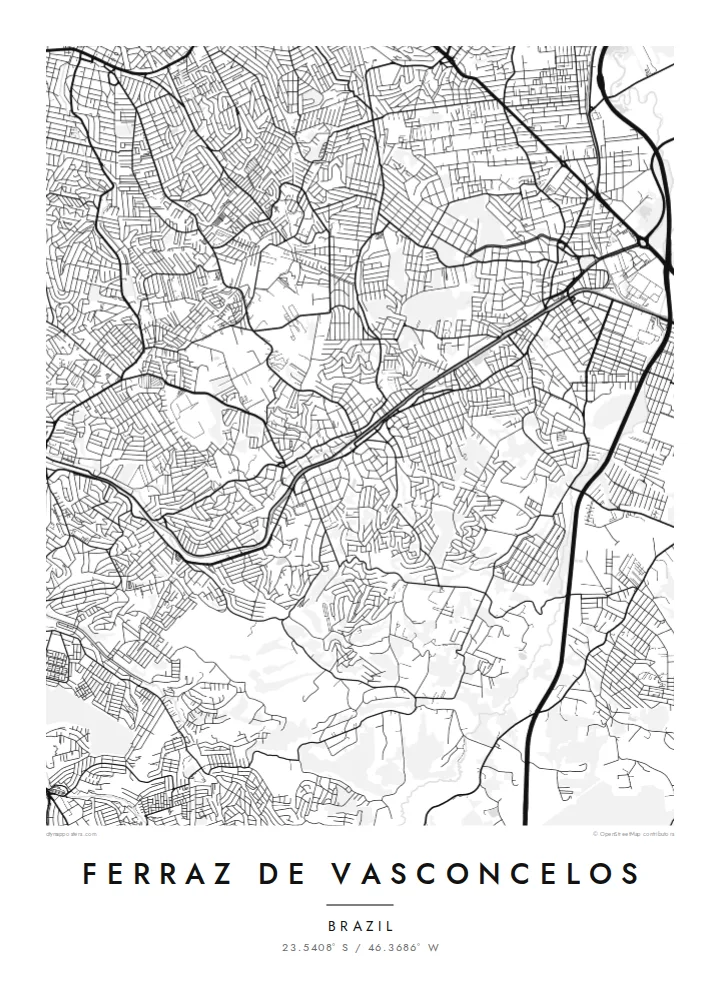
The CPTM railway cuts across the city toward São Paulo, and much of the older street pattern forms around it, making it the map's natural spine.
Minimalist map poster · Brazil
A dense suburban grid on São Paulo's eastern edge, threaded by a commuter railway and shared borders
23.5408° S / 46.3686° W


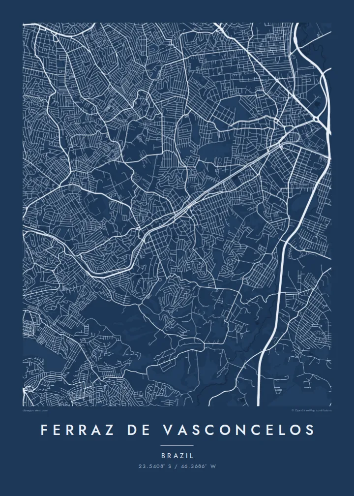

One city, five moods
Tap a style to see it on the wall. Every style is included in the same $9 price.
 Actual pixels · 24 × 36″ HD file
Print-sharp
This is a crop of the real HD file at 100%. The paid download is rendered on our servers at 300 DPI, up to 7,200 × 10,800 pixels, so even the smallest lanes stay crisp on a 24 × 36″ print.
The map
Ferraz de Vasconcelos is part of the continuous urban fabric of Greater São Paulo, and on a map its limits are almost invisible. Streets run straight into neighbouring Poá, Suzano and Itaquaquecetuba, while the city of São Paulo itself begins to the west. What defines the place is not a coastline or a river bend but the fine texture of residential blocks packed closely together.
The railway is the clearest line on the plan. Commuter trains of the CPTM network run through the city toward central São Paulo, and the older centre grew up around the station. Away from the tracks, the grid loosens slightly as it climbs gentle hills, with pockets of green where the terrain was too steep or wet to build.
A Ferraz de Vasconcelos map poster suits someone who knows this kind of neighbourhood intimately: the walk to the station, the corner bakery, the street where a family first settled. Printed in black and white, the dense grid becomes a pattern that rewards close looking.
The CPTM railway cuts across the city toward São Paulo, and much of the older street pattern forms around it, making it the map's natural spine.
Small, tightly spaced blocks cover most of the municipality, producing a fine, even texture that looks almost like woven fabric in print.
Streets continue without a break into neighbouring municipalities, a reminder that the city is one piece of the much larger São Paulo metropolis.
Make it yours
Add a date, a name or a line of your own, switch style, size or orientation.
Free preview is low-resolution with a watermark. The HD version is 7,200 × 10,800 px, 300 DPI, no watermark.
Why Ferraz de Vasconcelos
For people who grew up or raised a family in Ferraz de Vasconcelos, this map shows home in a way that a wider view of São Paulo cannot. It keeps the focus on the streets you actually know.
Personalise the title, add a subtitle like a family name or moving-in date, and choose a style, from Classic black and white to Blueprint. Download the six HD print sizes for $9 or order a matte printed poster.
Get the Ferraz de Vasconcelos poster — $9| Print size | Resolution | Files |
|---|---|---|
| 30 × 40 cm (11.8 × 15.7″) | 3,543 × 4,724 px | PNG · PDF |
| 50 × 70 cm (19.7 × 27.6″) | 5,906 × 8,268 px | PNG · PDF |
| 29.7 × 42 cm (A3, 11.7 × 16.5″) | 3,508 × 4,961 px | PNG · PDF |
| 42 × 59.4 cm (A2, 16.5 × 23.4″) | 4,961 × 7,016 px | PNG · PDF |
| 45.7 × 61 cm (18 × 24″) | 5,400 × 7,200 px | PNG · PDF |
| 61 × 91.4 cm (24 × 36″) | 7,200 × 10,800 px | PNG · PDF |
For comparison, the free preview is 900 px wide, watermarked and meant for screens. The HD files have up to 8× the resolution in each direction and print cleanly at full poster size.
Yes. Drag and zoom the map in the editor — centre it on your neighbourhood, the old town or the whole metro area. The text updates independently.
The HD purchase includes 30×40 cm, 50×70 cm, A3, A2, 18×24″ and 24×36″, each as a 300 DPI PNG and a print-ready PDF.
You can download a free 900 px preview with a watermark. The paid HD files have no watermark and are sharp enough for large prints.
Send the PDF to any local print shop or online printing service and ask for the matching paper size. Matte paper and a thin black or oak frame suit this style best.
Nearby
