Avenida Paulista
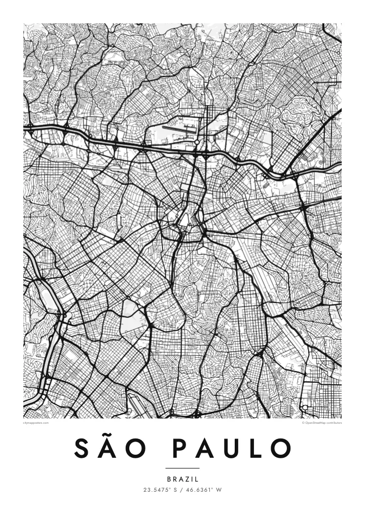
A straight avenue about 2.8 kilometres long, following one of the city’s high ridges south-west of the old centre and forming a clear diagonal through the surrounding grid.
Minimalist map poster · Brazil
23.5475° S / 46.6361° W
An immense plateau city held between two channelled rivers, with reservoirs to the south and forested hills to the north
One city, five moods
Tap a style to see it on the wall. Every style costs the same — printed, framed or as HD files.
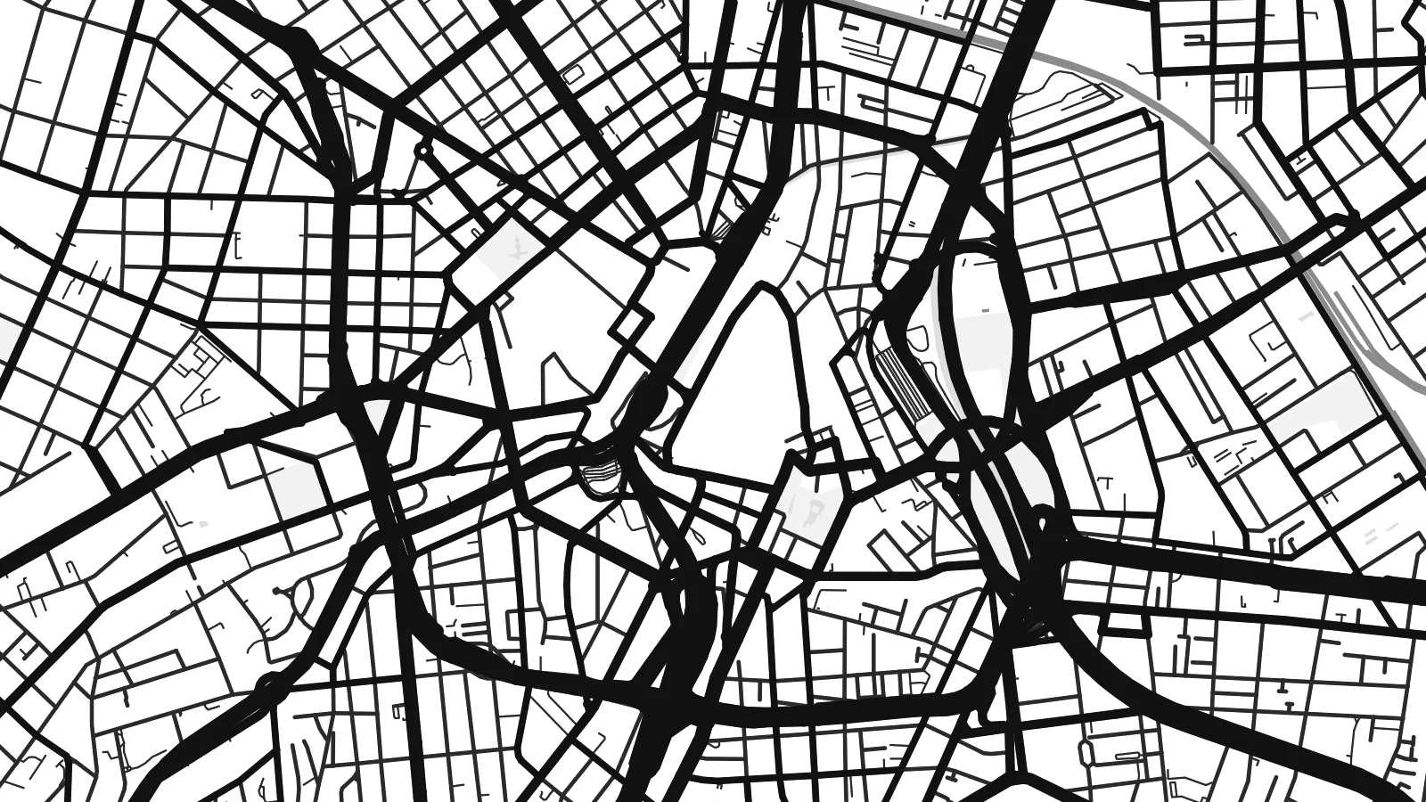 Actual pixels · 24 × 36″ print file
Print-sharp
This is a 100% crop of the real print file. Every poster — printed, framed or downloaded — is rendered on our servers at 300 DPI, up to 7,200 × 10,800 pixels, so even the smallest lanes stay crisp on a 24 × 36″ print.
On the wall


The map
São Paulo spreads across a high plateau above the Atlantic coast, and on a map it seems to fill every direction. Two rivers give it structure: the Tietê, crossing from east to west, and the Pinheiros, running north-west to meet it. Both have been straightened and lined by the Marginal expressways, creating long, rigid lines that frame the central districts, with the Serra da Cantareira rising beyond them to the north.
The historic centre, around the Praça da Sé and the Pátio do Colégio, is a knot of old streets and viaducts crossing small valleys. To the south-west, Avenida Paulista runs along a ridge lined with tall buildings, and Ibirapuera Park opens up a broad, irregular shape nearby. Further south, the Guarapiranga and Billings reservoirs spread their branching shorelines into the edges of the city.
The city was founded by Jesuit missionaries in 1554 and is today the largest city in Brazil and in the Southern Hemisphere. A São Paulo map poster gives form to a place that is hard to take in from the ground, reducing a dense metropolis to a clear pattern of rivers, ridges, parks and avenues.
A straight avenue about 2.8 kilometres long, following one of the city’s high ridges south-west of the old centre and forming a clear diagonal through the surrounding grid.
The two rivers meet west of the centre, both straightened and bordered by expressways. Together they draw a large angle that frames much of the urban core.
Guarapiranga and Billings spread across the southern edge of the city with long, branching arms of water, creating one of the most intricate shoreline patterns on the map.
Make it yours
Add a date, a name or a line of your own, switch style, size or orientation.
The free preview is low-resolution with a watermark. Prints and HD files are rendered at 300 DPI, up to 7,200 × 10,800 px, without a watermark.
Why São Paulo
São Paulo is a city of long careers, large families and constant movement, and many Paulistanos keep a strong attachment to their own bairro. A map poster puts that bairro in context, showing it as part of a vast and surprisingly ordered whole.
Name your bairro in the title, add a date or a short message to the subtitle and edit the coordinates line. Five styles are available, Classic black & white, Noir, Paper, Blueprint and Sand, as instant digital files or as a printed poster shipped from partners in more than 30 countries.
Order the São Paulo poster| Print size | Resolution | Files |
|---|---|---|
| 30 × 40 cm11.8 × 15.7″ | 3,543 × 4,724 px | PNG · PDF |
| 29.7 × 42 cm (A3)11.7 × 16.5″ | 3,508 × 4,961 px | PNG · PDF |
| 42 × 59.4 cm (A2)16.5 × 23.4″ | 4,961 × 7,016 px | PNG · PDF |
| 45.7 × 61 cm18 × 24″ | 5,400 × 7,200 px | PNG · PDF |
| 50 × 70 cm19.7 × 27.6″ | 5,906 × 8,268 px | PNG · PDF |
| 61 × 91.4 cm24 × 36″ | 7,200 × 10,800 px | PNG · PDF |
For comparison, the free preview is 900 px wide, watermarked and meant for screens. The HD files have up to 8× the resolution in each direction and print cleanly at full poster size.
Pick a style at the top of the page, then choose Printed Poster — a size and, if you like, a frame — or Digital HD Files. Checkout takes one step, and your order page updates as soon as the payment goes through.
It is printed on premium 200 gsm matte paper in one of six sizes, from 30 × 40 cm to 24 × 36″. Printed posters start at $39, shipping included.
Yes. Choose a solid wood frame in black, white, natural oak or dark wood. It comes with shatterproof glazing and is ready to hang. Framed posters start at $99, shipping included.
Shipping is free to 60+ countries. Each poster is printed by the nearest of our print partners in 30+ countries and usually arrives in 3–7 business days. You can follow the status and tracking under My Orders. A few countries take 2–5 weeks, and where we don't ship yet, the site tells you before you pay.
Send us a photo within 14 days of delivery and we will reprint it for free or refund you.
Yes. In the editor on this page, change the title, the subtitle and the coordinates line to anything you like, and pick a style and size. Printed, framed and digital orders all use exactly your design.
For $9 you get 300 DPI PNG and print-ready PDF files in all six sizes, without a watermark, to print anywhere. Not sure yet? Download a free watermarked preview first.
Nearby
