The Kopje
A granite hill on the southwestern edge of the centre, where the first settlement grew. On the map it interrupts the regular grid and marks where the city's street pattern began.
Minimalist map poster · Zimbabwe
17.8277° S / 31.0534° E
A tidy colonial grid beside a granite kopje, ringed by leafy suburbs that thin out into open highveld.

One city, five moods
Tap a style to see it on the wall. Every style costs the same — printed, framed or as HD files.
 Actual pixels · 24 × 36″ print file
Print-sharp
This is a 100% crop of the real print file. Every poster — printed, framed or downloaded — is rendered on our servers at 300 DPI, up to 7,200 × 10,800 pixels, so even the smallest lanes stay crisp on a 24 × 36″ print.
On the wall

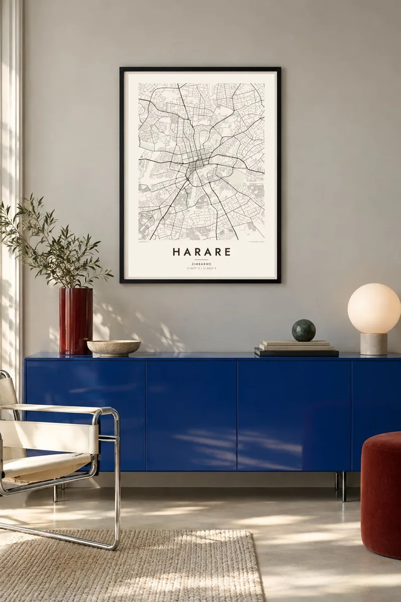
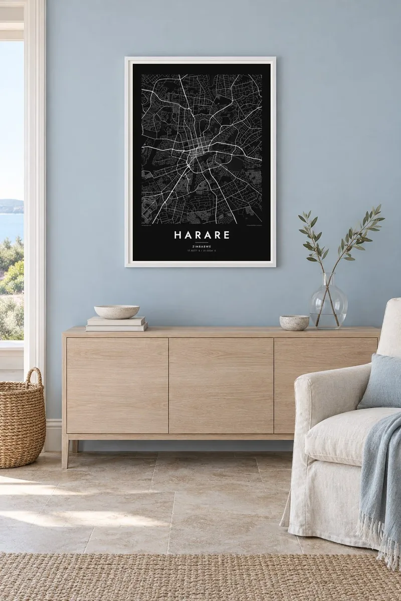
The map
From above, Harare begins with a compact grid of streets laid out in the 1890s, when the settlement was founded as Fort Salisbury. Just southwest of the centre rises the Kopje, a granite hill that gives the grid its one natural edge. North of the business district the blocks loosen into the Avenues, a residential quarter of long straight roads, and then into broad suburbs with large gardens.
The city sits on the highveld at roughly 1,500 metres, and its map reflects that open plateau: few hard barriers, streams traced by narrow strips of open land, and roads fanning out toward Mutare, Bulawayo and the north. Southwest of the city, Lake Chivero, a reservoir on the Manyame River, appears as a branching shape of water fed by narrow creeks.
A Harare map poster captures the contrast between the dense, rational centre and the looser pattern of the outer districts. In monochrome the grid reads almost like a drafting exercise, while the curving suburban lanes to the north and the thin lines of watercourses soften the edges. It is a quiet, readable map for anyone who knows the city by its intersections and jacaranda-lined roads.
A granite hill on the southwestern edge of the centre, where the first settlement grew. On the map it interrupts the regular grid and marks where the city's street pattern began.
A residential district north of the city centre with long parallel streets. Its evenly spaced lines give the poster a strong, rhythmic band between downtown and the northern suburbs.
The city's largest central park, a clear open block beside the business district, framed by straight streets on each side.
Make it yours
Add a date, a name or a line of your own, switch style, size or orientation.
The free preview is low-resolution with a watermark. Prints and HD files are rendered at 300 DPI, up to 7,200 × 10,800 px, without a watermark.
Why Harare
Harare is often remembered in its details: morning traffic on Samora Machel Avenue, the purple canopy of jacarandas in October, a house in a particular suburb. A map poster gathers those places onto one sheet, a quiet reminder for those who live there and a keepsake for those who have moved away.
You can add a title, subtitle and date for a family home, a wedding or a first posting, and choose from five styles: Classic black & white, Noir, Paper, Blueprint or Sand. The digital files cost $9 and cover six print sizes, and printed or framed posters ship from partners in over 30 countries.
Order the Harare poster| Print size | Resolution | Files |
|---|---|---|
| 30 × 40 cm11.8 × 15.7″ | 3,543 × 4,724 px | PNG · PDF |
| 29.7 × 42 cm (A3)11.7 × 16.5″ | 3,508 × 4,961 px | PNG · PDF |
| 42 × 59.4 cm (A2)16.5 × 23.4″ | 4,961 × 7,016 px | PNG · PDF |
| 45.7 × 61 cm18 × 24″ | 5,400 × 7,200 px | PNG · PDF |
| 50 × 70 cm19.7 × 27.6″ | 5,906 × 8,268 px | PNG · PDF |
| 61 × 91.4 cm24 × 36″ | 7,200 × 10,800 px | PNG · PDF |
For comparison, the free preview is 900 px wide, watermarked and meant for screens. The HD files have up to 8× the resolution in each direction and print cleanly at full poster size.
Pick a style at the top of the page, then choose Printed Poster — a size and, if you like, a frame — or Digital HD Files. Checkout takes one step, and your order page updates as soon as the payment goes through.
It is printed on premium 200 gsm matte paper in one of six sizes, from 30 × 40 cm to 24 × 36″. Printed posters start at $39, shipping included.
Yes. Choose a solid wood frame in black, white, natural oak or dark wood. It comes with shatterproof glazing and is ready to hang. Framed posters start at $99, shipping included.
Shipping is free to 60+ countries. Each poster is printed by the nearest of our print partners in 30+ countries and usually arrives in 3–7 business days. You can follow the status and tracking under My Orders. A few countries take 2–5 weeks, and where we don't ship yet, the site tells you before you pay.
Send us a photo within 14 days of delivery and we will reprint it for free or refund you.
Yes. In the editor on this page, change the title, the subtitle and the coordinates line to anything you like, and pick a style and size. Printed, framed and digital orders all use exactly your design.
For $9 you get 300 DPI PNG and print-ready PDF files in all six sizes, without a watermark, to print anywhere. Not sure yet? Download a free watermarked preview first.
Nearby
