Songhua River
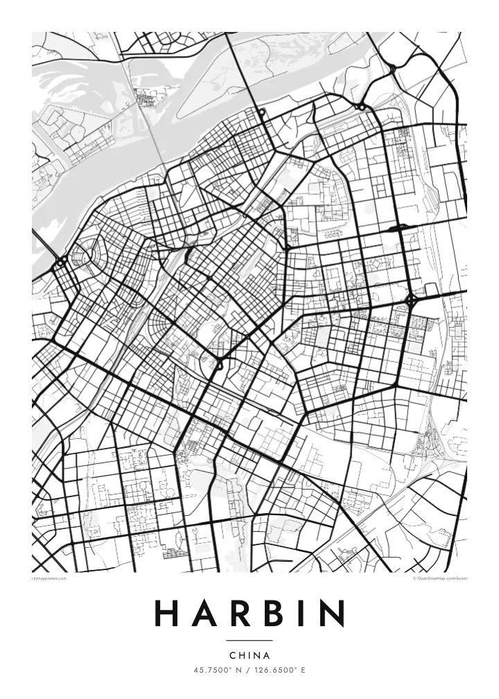
The river runs broad across the top of the map, split by sandbars and islands, with Sun Island's lakes and park paths forming a soft counterweight to the dense south bank.
Minimalist map poster · China
45.7500° N / 126.6500° E
The broad Songhua River curving past a dense street grid, with Sun Island's lagoons and parkland spread along the northern bank.
One city, five moods
Tap a style to see it on the wall. Every style costs the same — printed, framed or as HD files.
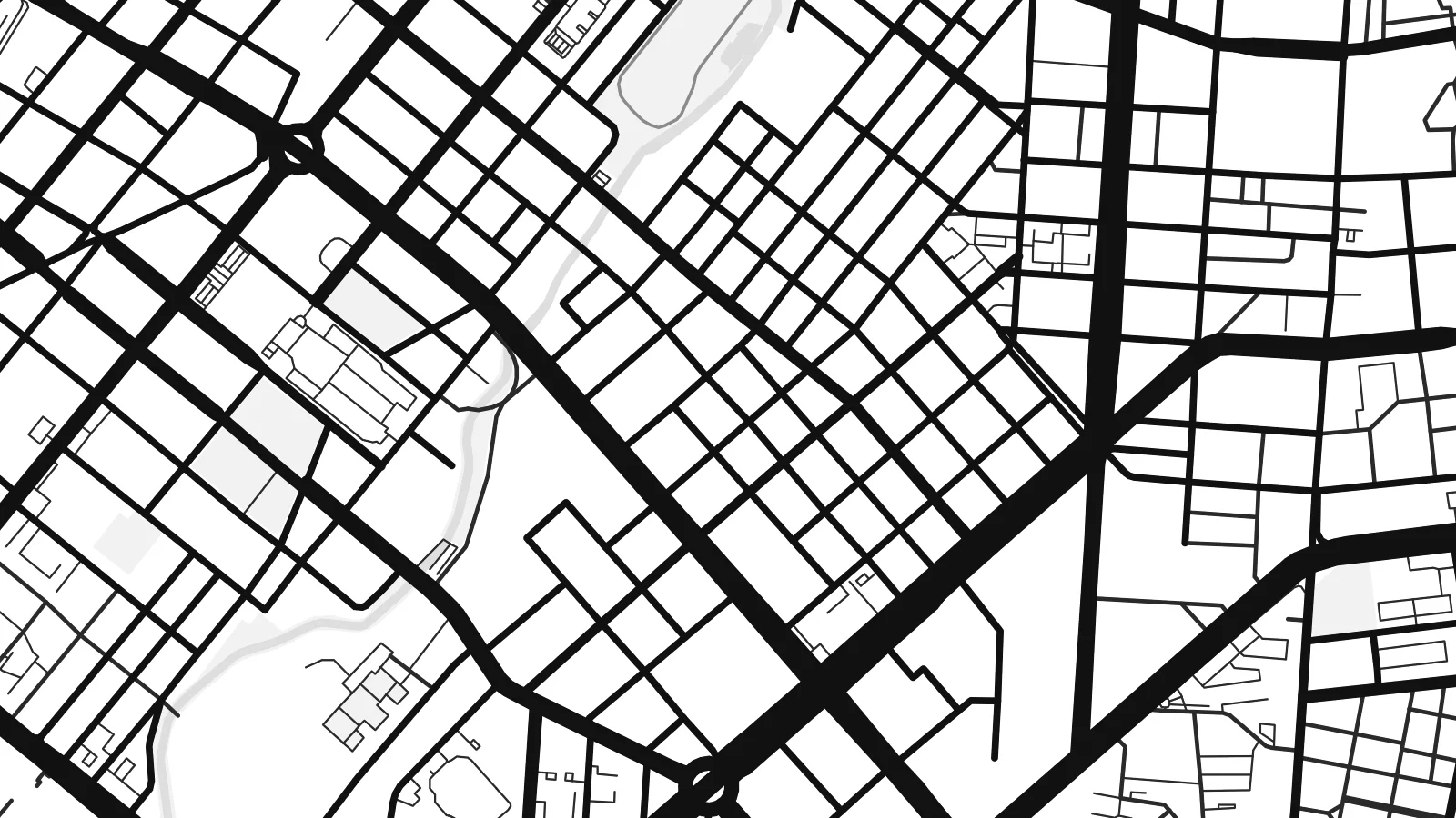 Actual pixels · 24 × 36″ print file
Print-sharp
This is a 100% crop of the real print file. Every poster — printed, framed or downloaded — is rendered on our servers at 300 DPI, up to 7,200 × 10,800 pixels, so even the smallest lanes stay crisp on a 24 × 36″ print.
On the wall


The map
Harbin sits on the south bank of the Songhua River, and from above the river is the first thing you notice: a wide, pale band sweeping from west to east, with Sun Island and its lagoons filling the opposite shore. South of the water the streets tighten into the old Daoli district, where a long pedestrian spine runs straight down to the riverside embankment.
The city grew quickly around the Chinese Eastern Railway at the end of the nineteenth century, and the plan still shows it. Rail lines cut diagonally through the districts, and the Russian-era core around Central Street keeps a finer grain than the wide boulevards laid out later in Nangang. A Harbin map poster captures that mix of railway geometry and river frontage in a single frame.
Winters here are long and severe, and Harbin is best known for its Ice and Snow Festival, when blocks cut from the frozen Songhua become illuminated buildings and sculptures. The domed St. Sophia Cathedral, a Russian Orthodox church from the early twentieth century, stands a few blocks from the river. On paper these become quiet details within the street pattern, with the river framing everything.
The river runs broad across the top of the map, split by sandbars and islands, with Sun Island's lakes and park paths forming a soft counterweight to the dense south bank.
A long cobbled pedestrian street in Daoli, laid out in the Russian period and running north to the riverside. On the map it reads as a straight line through a fine-grained block pattern.
Tracks dating from the Chinese Eastern Railway era slice diagonally across the city, dividing districts from one another and giving the plan its angled seams where differently oriented grids meet.
Make it yours
Add a date, a name or a line of your own, switch style, size or orientation.
The free preview is low-resolution with a watermark. Prints and HD files are rendered at 300 DPI, up to 7,200 × 10,800 px, without a watermark.
Why Harbin
Harbin is a place people remember in winter light: the frozen river, the festival, the long walk down Central Street. A poster of its streets suits someone who studied, worked or grew up there, or who travelled north for the ice and wants something calmer than a photograph.
Add your own title, a subtitle such as a date or a family name, and adjust the coordinates line. Choose from five styles; Noir or Blueprint suit the cold northern character, while Classic black & white keeps the river crisp. Order the HD files for $9 or a printed poster.
Order the Harbin poster| Print size | Resolution | Files |
|---|---|---|
| 30 × 40 cm11.8 × 15.7″ | 3,543 × 4,724 px | PNG · PDF |
| 29.7 × 42 cm (A3)11.7 × 16.5″ | 3,508 × 4,961 px | PNG · PDF |
| 42 × 59.4 cm (A2)16.5 × 23.4″ | 4,961 × 7,016 px | PNG · PDF |
| 45.7 × 61 cm18 × 24″ | 5,400 × 7,200 px | PNG · PDF |
| 50 × 70 cm19.7 × 27.6″ | 5,906 × 8,268 px | PNG · PDF |
| 61 × 91.4 cm24 × 36″ | 7,200 × 10,800 px | PNG · PDF |
For comparison, the free preview is 900 px wide, watermarked and meant for screens. The HD files have up to 8× the resolution in each direction and print cleanly at full poster size.
Pick a style at the top of the page, then choose Printed Poster — a size and, if you like, a frame — or Digital HD Files. Checkout takes one step, and your order page updates as soon as the payment goes through.
It is printed on premium 200 gsm matte paper in one of six sizes, from 30 × 40 cm to 24 × 36″. Printed posters start at $39, shipping included.
Yes. Choose a solid wood frame in black, white, natural oak or dark wood. It comes with shatterproof glazing and is ready to hang. Framed posters start at $99, shipping included.
Shipping is free to 60+ countries. Each poster is printed by the nearest of our print partners in 30+ countries and usually arrives in 3–7 business days. You can follow the status and tracking under My Orders. A few countries take 2–5 weeks, and where we don't ship yet, the site tells you before you pay.
Send us a photo within 14 days of delivery and we will reprint it for free or refund you.
Yes. In the editor on this page, change the title, the subtitle and the coordinates line to anything you like, and pick a style and size. Printed, framed and digital orders all use exactly your design.
For $9 you get 300 DPI PNG and print-ready PDF files in all six sizes, without a watermark, to print anywhere. Not sure yet? Download a free watermarked preview first.
Nearby
