Walled old town
The medieval core forms a tight, rounded shape of short streets and small blocks, its outline still suggested by the course of the former town walls and moats.
Minimalist map poster · Netherlands
52.3417° N / 5.6208° E
A compact Hanseatic old town on the Veluwemeer shore, its medieval street plan facing the water and the Veluwe woods.

One city, five moods
Tap a style to see it on the wall. Every style costs the same — printed, framed or as HD files.
 Actual pixels · 24 × 36″ print file
Print-sharp
This is a 100% crop of the real print file. Every poster — printed, framed or downloaded — is rendered on our servers at 300 DPI, up to 7,200 × 10,800 pixels, so even the smallest lanes stay crisp on a 24 × 36″ print.
On the wall

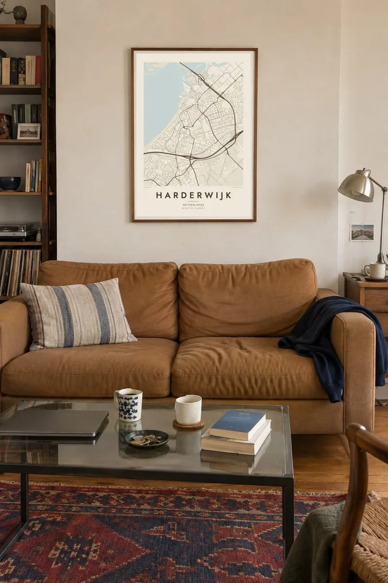
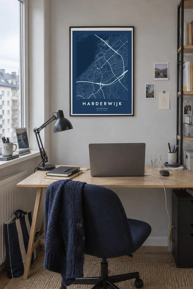
The map
Harderwijk sits on the eastern rim of the former Zuiderzee, now looking across the narrow Veluwemeer toward the reclaimed polders of Flevoland. The historic centre is small and tightly enclosed, a rounded knot of streets bounded by the line of its old defences. Outside it, post-war neighbourhoods spread inland in looser curves, and the landscape gradually turns to the heath and forest of the Veluwe.
The town joined the Hanseatic League in the Middle Ages and prospered from fishing and trade, and its street plan still reflects that era: a market square, narrow lanes running down toward the waterfront and the surviving Vischpoort gate. On a Harderwijk map poster the contrast between that dense core and the open lake beside it is immediately legible, a clear edge between town and water.
Harderwijk once had its own university, where Carl Linnaeus took his medical degree in 1735, and today it is widely known for its dolphinarium on the lakeshore. The harbour, marinas and boulevard stretch along the water, while the A28 motorway traces a firm line on the landward side, separating the town from the woods that begin almost immediately beyond it.
The medieval core forms a tight, rounded shape of short streets and small blocks, its outline still suggested by the course of the former town walls and moats.
A long, narrow lake separates Harderwijk from Flevoland, and its smooth shoreline, harbour basins and marinas give the map a strong, clean boundary on the water side.
Inland, streets thin out quickly into the forest and heath of the Veluwe, leaving large quiet areas on the map that frame the built-up town.
Make it yours
Add a date, a name or a line of your own, switch style, size or orientation.
The free preview is low-resolution with a watermark. Prints and HD files are rendered at 300 DPI, up to 7,200 × 10,800 px, without a watermark.
Why Harderwijk
Harderwijk is a place people return to: for summers on the water, for school years, or for walks in the woods behind town. Its small historic centre and wide lake make for a map that is easy to read at a glance and still rewards a closer look.
Personalise the title and subtitle, perhaps with the year you moved or the name of your street, and keep or edit the coordinates line. Five styles are available, from Classic black & white and Noir to Paper, Blueprint and Sand, as a $9 digital file or a matte print.
Order the Harderwijk poster| Print size | Resolution | Files |
|---|---|---|
| 30 × 40 cm11.8 × 15.7″ | 3,543 × 4,724 px | PNG · PDF |
| 29.7 × 42 cm (A3)11.7 × 16.5″ | 3,508 × 4,961 px | PNG · PDF |
| 42 × 59.4 cm (A2)16.5 × 23.4″ | 4,961 × 7,016 px | PNG · PDF |
| 45.7 × 61 cm18 × 24″ | 5,400 × 7,200 px | PNG · PDF |
| 50 × 70 cm19.7 × 27.6″ | 5,906 × 8,268 px | PNG · PDF |
| 61 × 91.4 cm24 × 36″ | 7,200 × 10,800 px | PNG · PDF |
For comparison, the free preview is 900 px wide, watermarked and meant for screens. The HD files have up to 8× the resolution in each direction and print cleanly at full poster size.
Pick a style at the top of the page, then choose Printed Poster — a size and, if you like, a frame — or Digital HD Files. Checkout takes one step, and your order page updates as soon as the payment goes through.
It is printed on premium 200 gsm matte paper in one of six sizes, from 30 × 40 cm to 24 × 36″. Printed posters start at $39, shipping included.
Yes. Choose a solid wood frame in black, white, natural oak or dark wood. It comes with shatterproof glazing and is ready to hang. Framed posters start at $99, shipping included.
Shipping is free to 60+ countries. Each poster is printed by the nearest of our print partners in 30+ countries and usually arrives in 3–7 business days. You can follow the status and tracking under My Orders. A few countries take 2–5 weeks, and where we don't ship yet, the site tells you before you pay.
Send us a photo within 14 days of delivery and we will reprint it for free or refund you.
Yes. In the editor on this page, change the title, the subtitle and the coordinates line to anything you like, and pick a style and size. Printed, framed and digital orders all use exactly your design.
For $9 you get 300 DPI PNG and print-ready PDF files in all six sizes, without a watermark, to print anywhere. Not sure yet? Download a free watermarked preview first.
Nearby
