The Angara River
Leaving Lake Baikal as a single wide channel, the Angara crosses the whole map, slowing around islands in the centre and setting the city's north–south orientation.
Minimalist map poster · Russia
52.2957° N / 104.2908° E
A city split by the wide Angara, with a dammed reservoir upstream and the Irkut joining from the west.

One city, five moods
Tap a style to see it on the wall. Every style costs the same — printed, framed or as HD files.
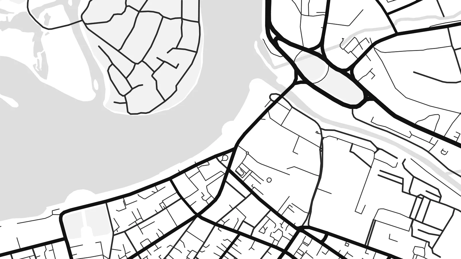 Actual pixels · 24 × 36″ print file
Print-sharp
This is a 100% crop of the real print file. Every poster — printed, framed or downloaded — is rendered on our servers at 300 DPI, up to 7,200 × 10,800 pixels, so even the smallest lanes stay crisp on a 24 × 36″ print.
On the wall
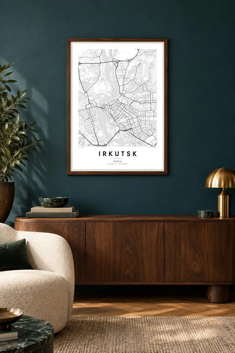
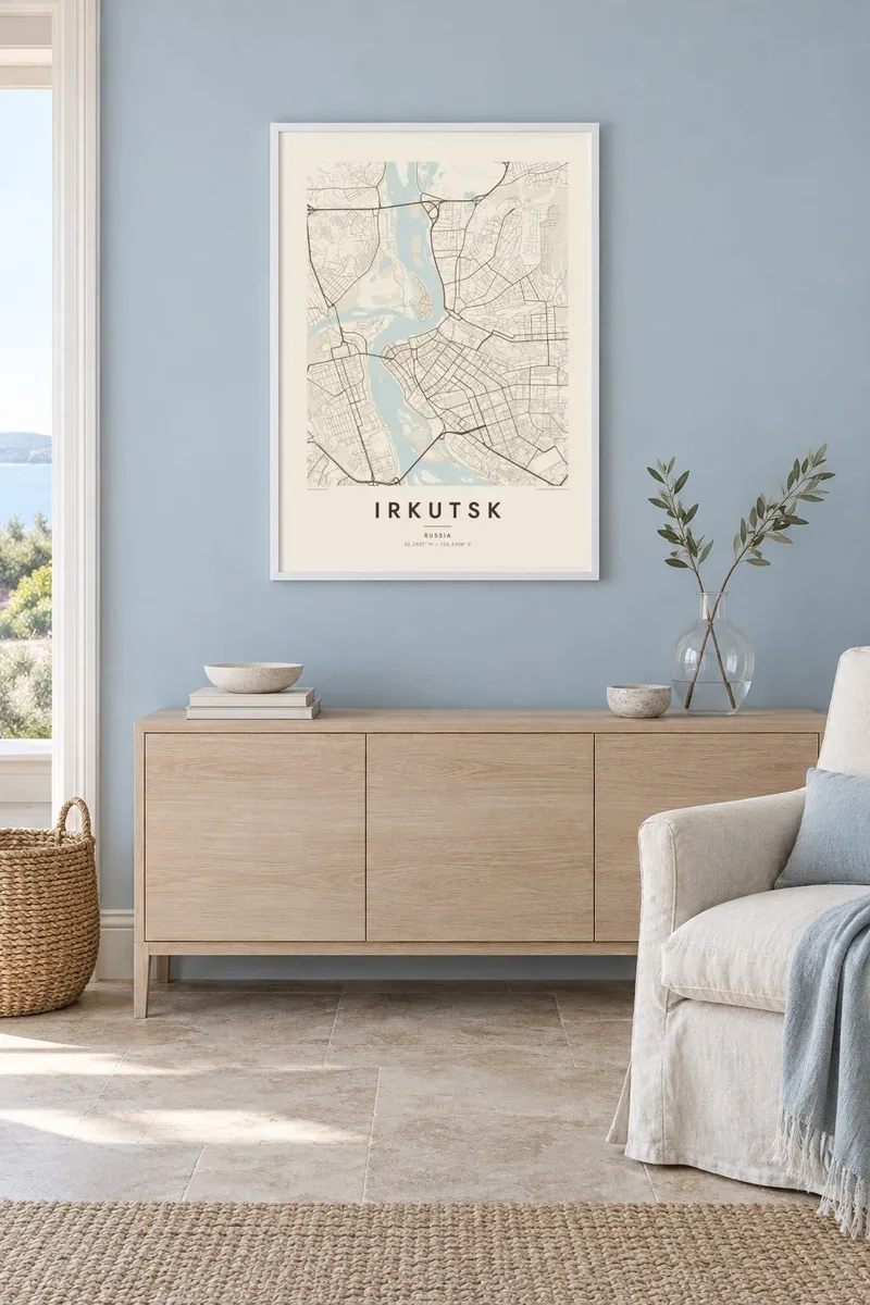
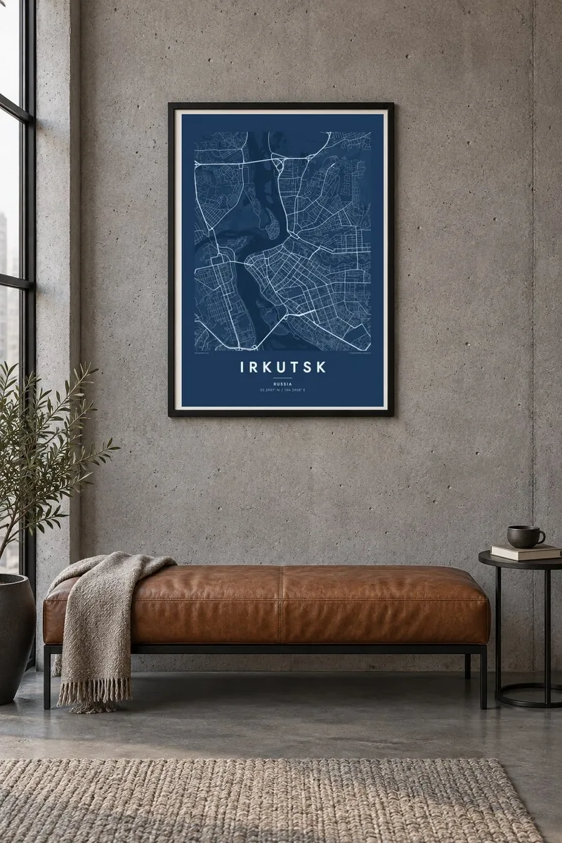
The map
From above, Irkutsk is organised around the Angara, the only river that flows out of Lake Baikal, some sixty kilometres upstream. The river is broad and fast here, and the city spreads across both banks. The historic centre sits on the right bank, where the smaller Irkut enters from the opposite shore and the Ushakovka comes in from the northeast.
Just above the centre, a hydroelectric dam holds back the Irkutsk Reservoir, a long body of water that stretches toward Baikal and gives the southern edge of the map a very different texture. Below the dam, the Angara divides around low islands before it carries on north. Railway lines follow the left bank, part of the Trans-Siberian route that made the city a major stop.
The centre is a dense grid of older blocks, many still lined with carved wooden houses from the nineteenth century. Irkutsk was founded as a fortified post in 1661, and later became home to exiled Decembrists and their families, whose houses survive as museums. A Irkutsk map poster keeps the river at its centre, with the grid, the dam and the islands all around it.
Leaving Lake Baikal as a single wide channel, the Angara crosses the whole map, slowing around islands in the centre and setting the city's north–south orientation.
Above the dam, the river widens into a long reservoir reaching back toward Baikal. On the poster it reads as a large, calm shape at one edge of the frame.
The right-bank centre keeps a regular block pattern where wooden merchant houses stand beside later stone buildings. It is the densest and most orderly part of the street network.
Make it yours
Add a date, a name or a line of your own, switch style, size or orientation.
The free preview is low-resolution with a watermark. Prints and HD files are rendered at 300 DPI, up to 7,200 × 10,800 px, without a watermark.
Why Irkutsk
Irkutsk is the city people pass through on the way to Baikal and often want to remember afterwards. For those who grew up there, the Angara and its bridges shape how they picture home, and a poster puts that shape on the wall.
You can add a personal title, a subtitle such as a date, and a coordinates line, then pick one of five styles: Classic black & white, Noir, Paper, Blueprint or Sand. Blueprint suits the river and reservoir especially well.
Order the Irkutsk poster| Print size | Resolution | Files |
|---|---|---|
| 30 × 40 cm11.8 × 15.7″ | 3,543 × 4,724 px | PNG · PDF |
| 29.7 × 42 cm (A3)11.7 × 16.5″ | 3,508 × 4,961 px | PNG · PDF |
| 42 × 59.4 cm (A2)16.5 × 23.4″ | 4,961 × 7,016 px | PNG · PDF |
| 45.7 × 61 cm18 × 24″ | 5,400 × 7,200 px | PNG · PDF |
| 50 × 70 cm19.7 × 27.6″ | 5,906 × 8,268 px | PNG · PDF |
| 61 × 91.4 cm24 × 36″ | 7,200 × 10,800 px | PNG · PDF |
For comparison, the free preview is 900 px wide, watermarked and meant for screens. The HD files have up to 8× the resolution in each direction and print cleanly at full poster size.
Pick a style at the top of the page, then choose Printed Poster — a size and, if you like, a frame — or Digital HD Files. Checkout takes one step, and your order page updates as soon as the payment goes through.
It is printed on premium 200 gsm matte paper in one of six sizes, from 30 × 40 cm to 24 × 36″. Printed posters start at $39, shipping included.
Yes. Choose a solid wood frame in black, white, natural oak or dark wood. It comes with shatterproof glazing and is ready to hang. Framed posters start at $99, shipping included.
Shipping is free to 60+ countries. Each poster is printed by the nearest of our print partners in 30+ countries and usually arrives in 3–7 business days. You can follow the status and tracking under My Orders. A few countries take 2–5 weeks, and where we don't ship yet, the site tells you before you pay.
Send us a photo within 14 days of delivery and we will reprint it for free or refund you.
Yes. In the editor on this page, change the title, the subtitle and the coordinates line to anything you like, and pick a style and size. Printed, framed and digital orders all use exactly your design.
For $9 you get 300 DPI PNG and print-ready PDF files in all six sizes, without a watermark, to print anywhere. Not sure yet? Download a free watermarked preview first.
Nearby
