Northern villages
Nearly all settlement lies along the north coast and the slopes just behind it. On the poster, these small clusters form a short band of detail against the bare interior.
Minimalist map poster · Greece
35.3873° N / 26.9294° E
A steep, elongated island at the southern edge of the Dodecanese, with its villages gathered along the northern shore.

One city, five moods
Tap a style to see it on the wall. Every style costs the same — printed, framed or as HD files.
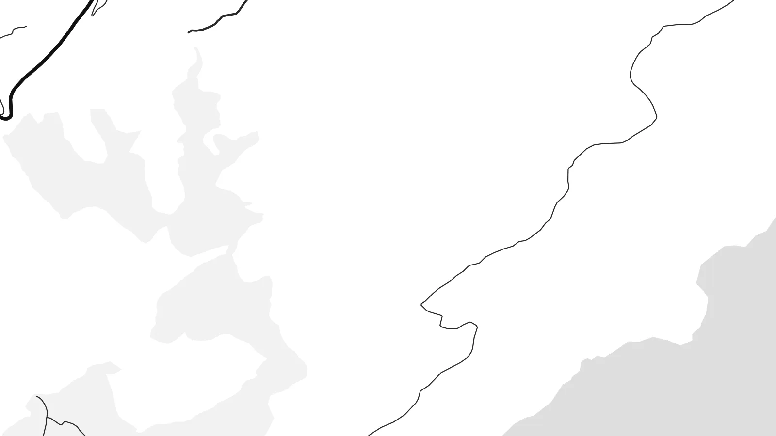 Actual pixels · 24 × 36″ print file
Print-sharp
This is a 100% crop of the real print file. Every poster — printed, framed or downloaded — is rendered on our servers at 300 DPI, up to 7,200 × 10,800 pixels, so even the smallest lanes stay crisp on a 24 × 36″ print.
On the wall


The island
Kasos is the southernmost island of the Dodecanese, lying between Karpathos and the eastern tip of Crete. It is long and mountainous, its southern slopes dropping steeply into the sea with barely a road. Almost all of its settlements sit on the gentler northern side, grouped around the small port and capital, Fry, and a handful of villages just inland.
The island is remembered for a dark episode in 1824, during the Greek War of Independence, when an Egyptian fleet landed on Kasos and killed or enslaved much of its population. The anniversary is still marked every year. The island also has a long seafaring tradition, and over generations many Kasiots made their lives at sea or settled abroad.
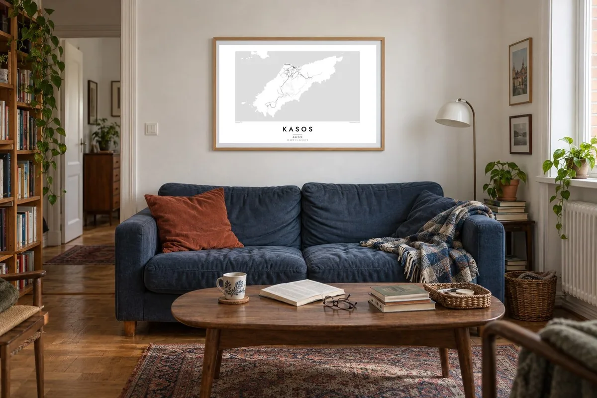
A Kasos map poster shows a place that has stayed small and quiet. The composition is weighted heavily to the north, where short roads connect the villages, while the rest of the island is a broad, largely empty landmass. Offshore, small islets such as Armathia add a few scattered forms to the surrounding sea.
Nearly all settlement lies along the north coast and the slopes just behind it. On the poster, these small clusters form a short band of detail against the bare interior.
The capital, Fry, surrounds a small old harbour known as Bouka, a tiny enclosed basin. It is the most intricate point on the island's coastline.
The southern half of the island is steep and almost roadless. It appears on the map as a clean, open shape, which gives the poster its sense of space.
Make it yours
Add a date, a name or a line of your own, switch style, size or orientation.
The free preview is low-resolution with a watermark. Prints and HD files are rendered at 300 DPI, up to 7,200 × 10,800 px, without a watermark.
Why Kasos
Kasos has deep family ties for many people, including those whose parents or grandparents left it. A poster of the island is a way to keep a distant home in view, or to remember a trip to a corner of Greece that few people reach.
Add a family name or village to the title, a date in the subtitle, and your own coordinates line. Choose from Classic black & white, Noir, Paper, Blueprint and Sand, and order a printed poster or download 300 DPI files for $9.
Order the Kasos poster| Print size | Resolution | Files |
|---|---|---|
| 30 × 40 cm11.8 × 15.7″ | 3,543 × 4,724 px | PNG · PDF |
| 29.7 × 42 cm (A3)11.7 × 16.5″ | 3,508 × 4,961 px | PNG · PDF |
| 42 × 59.4 cm (A2)16.5 × 23.4″ | 4,961 × 7,016 px | PNG · PDF |
| 45.7 × 61 cm18 × 24″ | 5,400 × 7,200 px | PNG · PDF |
| 50 × 70 cm19.7 × 27.6″ | 5,906 × 8,268 px | PNG · PDF |
| 61 × 91.4 cm24 × 36″ | 7,200 × 10,800 px | PNG · PDF |
For comparison, the free preview is 900 px wide, watermarked and meant for screens. The HD files have up to 8× the resolution in each direction and print cleanly at full poster size.
Pick a style at the top of the page, then choose Printed Poster — a size and, if you like, a frame — or Digital HD Files. Checkout takes one step, and your order page updates as soon as the payment goes through.
It is printed on premium 200 gsm matte paper in one of six sizes, from 30 × 40 cm to 24 × 36″. Printed posters start at $39, shipping included.
Yes. Choose a solid wood frame in black, white, natural oak or dark wood. It comes with shatterproof glazing and is ready to hang. Framed posters start at $99, shipping included.
Shipping is free to 60+ countries. Each poster is printed by the nearest of our print partners in 30+ countries and usually arrives in 3–7 business days. You can follow the status and tracking under My Orders. A few countries take 2–5 weeks, and where we don't ship yet, the site tells you before you pay.
Send us a photo within 14 days of delivery and we will reprint it for free or refund you.
Yes. In the editor on this page, change the title, the subtitle and the coordinates line to anything you like, and pick a style and size. Printed, framed and digital orders all use exactly your design.
For $9 you get 300 DPI PNG and print-ready PDF files in all six sizes, without a watermark, to print anywhere. Not sure yet? Download a free watermarked preview first.
Nearby
