Old Town grid
Short blocks and narrow lanes fill the western end of the island. Duval Street crosses from shore to shore, and dense rows of wooden houses line the side streets.
Minimalist map poster · United States
24.5552° N / 81.7816° W
The last island on the Overseas Highway, with a tight Old Town grid at its western end and water on every side.

One city, five moods
Tap a style to see it on the wall. Every style costs the same — printed, framed or as HD files.
 Actual pixels · 24 × 36″ print file
Print-sharp
This is a 100% crop of the real print file. Every poster — printed, framed or downloaded — is rendered on our servers at 300 DPI, up to 7,200 × 10,800 pixels, so even the smallest lanes stay crisp on a 24 × 36″ print.
On the wall

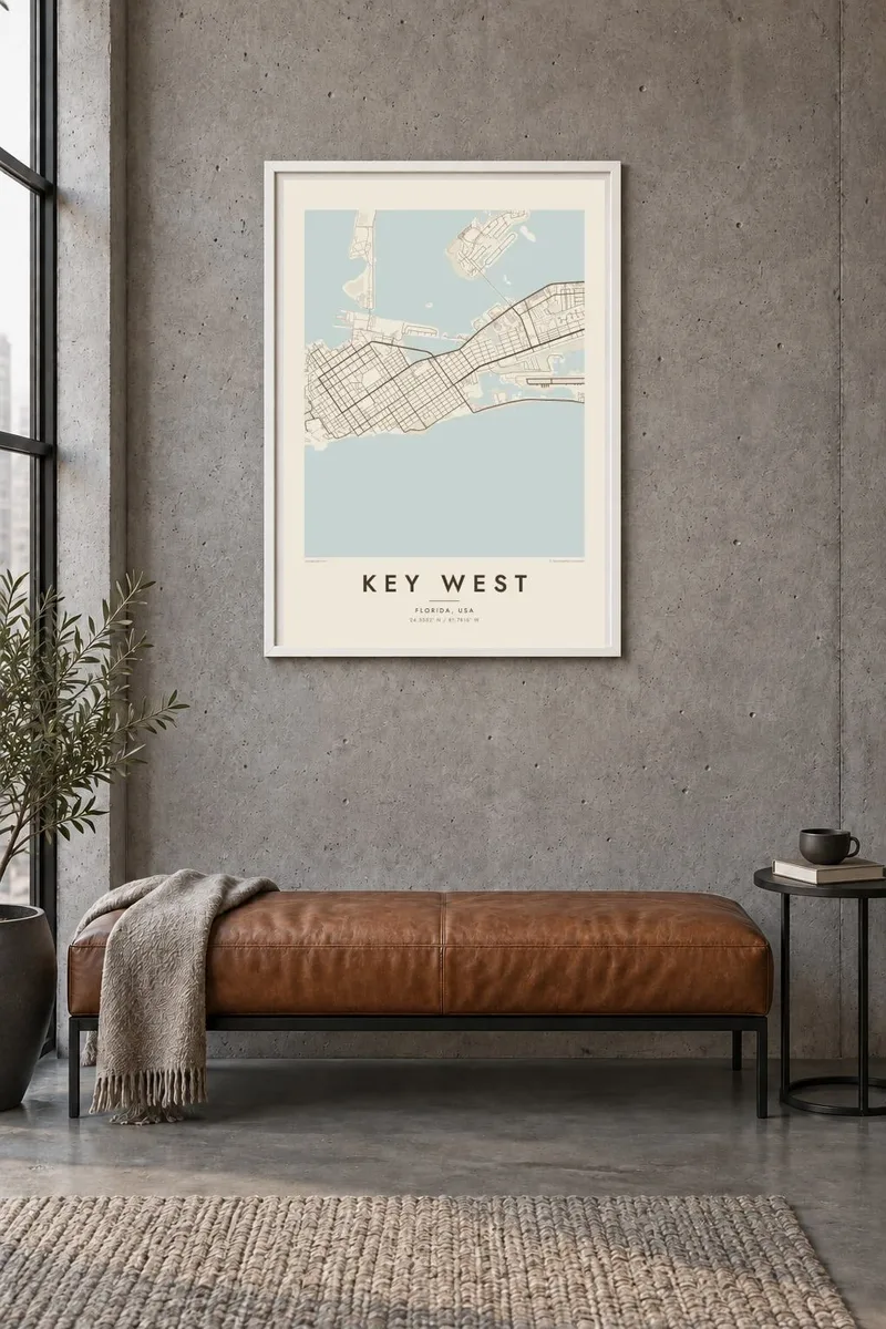
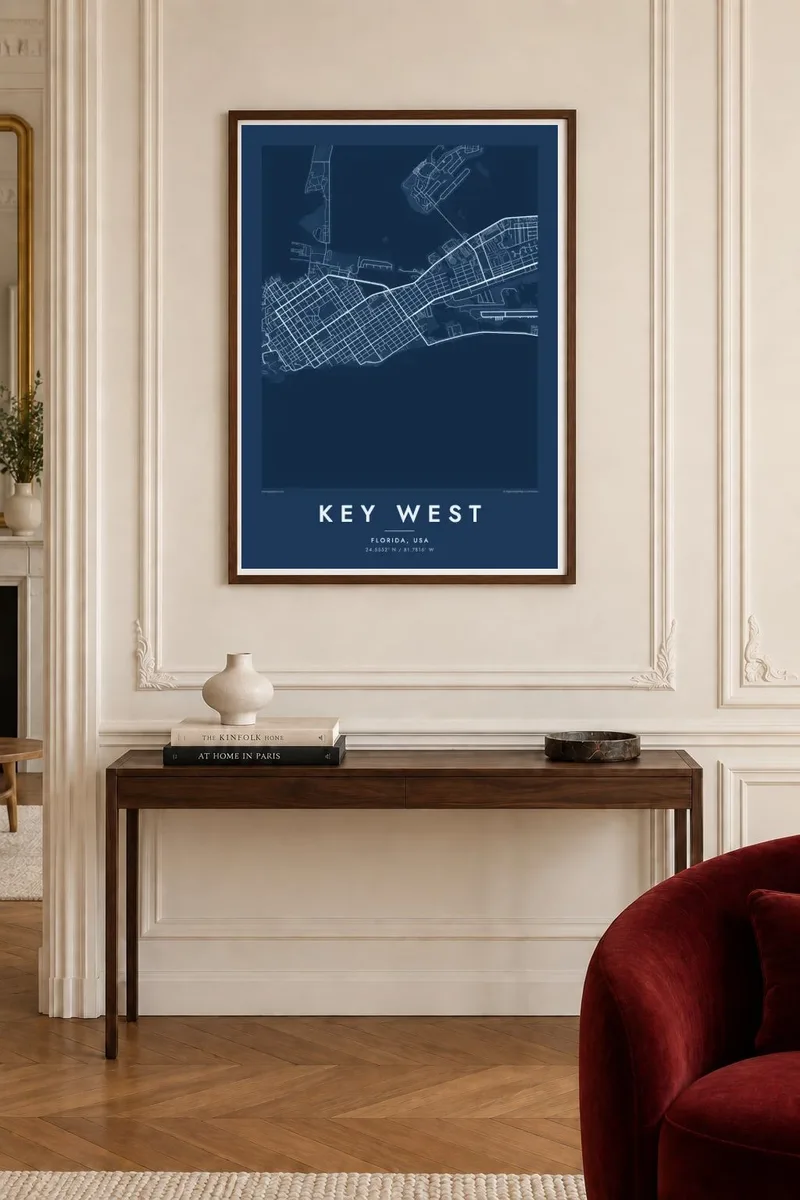
The map
Key West is where the road ends. US Route 1 reaches mile marker 0 here after crossing the long chain of the Florida Keys, and the island lies roughly 90 miles from Cuba. On a map it is a compact shape, about four miles long, surrounded by shallow water, reefs and smaller keys, with the Gulf on one side and the Atlantic on the other.
Old Town fills the western end, laid out in a grid of short blocks with Duval Street running across it from the Gulf side to the Atlantic. Here are the Hemingway Home, the lighthouse, Mallory Square with its evening sunset crowds, and the buoy marking the southernmost point. Further east the streets become more suburban, and the airport occupies the south-eastern shore.
Much of the island's edge is man-made, with filled land, marinas and naval facilities reshaping the original coastline. A Key West map poster shows all of it clearly: the fine grain of Old Town, the salt ponds and the gentle curve of the southern shore, all framed by water.
Short blocks and narrow lanes fill the western end of the island. Duval Street crosses from shore to shore, and dense rows of wooden houses line the side streets.
On the north-west waterfront, the square faces open water, and people gather there each evening to watch the sun set over the Gulf.
A painted concrete buoy at the corner of Whitehead and South Streets marks the southernmost point of the continental United States, a regular stop on any walk across the island.
Make it yours
Add a date, a name or a line of your own, switch style, size or orientation.
The free preview is low-resolution with a watermark. Prints and HD files are rendered at 300 DPI, up to 7,200 × 10,800 px, without a watermark.
Why Key West
Key West is a place people fall for on holiday and remember for years, and many visitors come back. A map poster of the island keeps the Old Town grid, the harbour and the shoreline in view long after the trip.
Add a title for a wedding or honeymoon, a date in the subtitle and the coordinates of a favourite street. Choose one of five styles, and note that Blueprint and Sand both suit the island's colours. Printed posters come on matte paper, with an optional wooden frame.
Order the Key West poster| Print size | Resolution | Files |
|---|---|---|
| 30 × 40 cm11.8 × 15.7″ | 3,543 × 4,724 px | PNG · PDF |
| 29.7 × 42 cm (A3)11.7 × 16.5″ | 3,508 × 4,961 px | PNG · PDF |
| 42 × 59.4 cm (A2)16.5 × 23.4″ | 4,961 × 7,016 px | PNG · PDF |
| 45.7 × 61 cm18 × 24″ | 5,400 × 7,200 px | PNG · PDF |
| 50 × 70 cm19.7 × 27.6″ | 5,906 × 8,268 px | PNG · PDF |
| 61 × 91.4 cm24 × 36″ | 7,200 × 10,800 px | PNG · PDF |
For comparison, the free preview is 900 px wide, watermarked and meant for screens. The HD files have up to 8× the resolution in each direction and print cleanly at full poster size.
Pick a style at the top of the page, then choose Printed Poster — a size and, if you like, a frame — or Digital HD Files. Checkout takes one step, and your order page updates as soon as the payment goes through.
It is printed on premium 200 gsm matte paper in one of six sizes, from 30 × 40 cm to 24 × 36″. Printed posters start at $39, shipping included.
Yes. Choose a solid wood frame in black, white, natural oak or dark wood. It comes with shatterproof glazing and is ready to hang. Framed posters start at $99, shipping included.
Shipping is free to 60+ countries. Each poster is printed by the nearest of our print partners in 30+ countries and usually arrives in 3–7 business days. You can follow the status and tracking under My Orders. A few countries take 2–5 weeks, and where we don't ship yet, the site tells you before you pay.
Send us a photo within 14 days of delivery and we will reprint it for free or refund you.
Yes. In the editor on this page, change the title, the subtitle and the coordinates line to anything you like, and pick a style and size. Printed, framed and digital orders all use exactly your design.
For $9 you get 300 DPI PNG and print-ready PDF files in all six sizes, without a watermark, to print anywhere. Not sure yet? Download a free watermarked preview first.
Nearby
