Repeated housing blocks
Clusters of apartment buildings repeat across the city in a steady rhythm. The result is an unusually regular texture, and it is the first thing you notice on the map.
Minimalist map poster · Angola
8.8486° S / 13.2750° E
A new planned city south of Luanda, laid out as a grid of uniform apartment blocks between wide avenues.

One city, five moods
Tap a style to see it on the wall. Every style costs the same — printed, framed or as HD files.
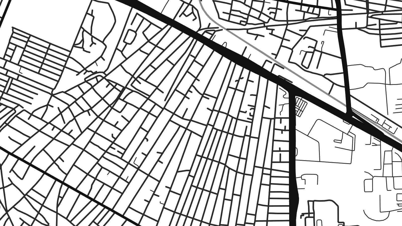 Actual pixels · 24 × 36″ print file
Print-sharp
This is a 100% crop of the real print file. Every poster — printed, framed or downloaded — is rendered on our servers at 300 DPI, up to 7,200 × 10,800 pixels, so even the smallest lanes stay crisp on a 24 × 36″ print.
On the wall

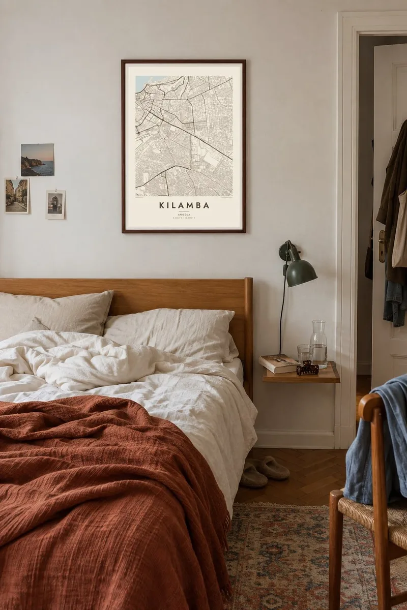

The map
Kilamba is a planned satellite city in the Luanda area of Angola, built from the late 2000s on open land south of the capital. From above it looks unlike almost anywhere else in the region. Row after row of mid-rise apartment blocks stand in regular clusters, separated by broad avenues, with schools and service buildings placed at intervals.
The project was built by a Chinese state-owned construction company as part of a large national housing programme. In its early years it was widely reported to be largely empty because the apartments were too expensive for most buyers. After prices were lowered, residents moved in, and it is now a lived-in city.
A Kilamba map poster shows the city's defining quality, which is repetition. The matching blocks, straight avenues and neat boundaries create a pattern that reads almost like woven cloth or an architectural drawing. In black and white, that uniformity becomes the point, and the contrast with the looser neighbourhoods at its edges makes the design striking.
Clusters of apartment buildings repeat across the city in a steady rhythm. The result is an unusually regular texture, and it is the first thing you notice on the map.
Broad main roads divide the city into large sectors. They frame the housing clusters and give the whole plan a clear, easily readable structure.
The city ends in crisp edges where the planned layout meets the surrounding land. This sharp outline sets Kilamba apart from the looser growth nearby.
Make it yours
Add a date, a name or a line of your own, switch style, size or orientation.
The free preview is low-resolution with a watermark. Prints and HD files are rendered at 300 DPI, up to 7,200 × 10,800 px, without a watermark.
Why Kilamba
For residents, Kilamba stands for a first apartment, a new neighbourhood or a fresh start near Luanda, and a map fixes that moment. Its ordered, graphic layout also appeals to anyone interested in architecture and urban planning.
You can personalise the title and subtitle, add a moving-in date or a block name, and choose one of five styles. Printed posters on matte paper ship from partners in more than 30 countries, or you can download six HD sizes as PNG and PDF for $9.
Order the Kilamba poster| Print size | Resolution | Files |
|---|---|---|
| 30 × 40 cm11.8 × 15.7″ | 3,543 × 4,724 px | PNG · PDF |
| 29.7 × 42 cm (A3)11.7 × 16.5″ | 3,508 × 4,961 px | PNG · PDF |
| 42 × 59.4 cm (A2)16.5 × 23.4″ | 4,961 × 7,016 px | PNG · PDF |
| 45.7 × 61 cm18 × 24″ | 5,400 × 7,200 px | PNG · PDF |
| 50 × 70 cm19.7 × 27.6″ | 5,906 × 8,268 px | PNG · PDF |
| 61 × 91.4 cm24 × 36″ | 7,200 × 10,800 px | PNG · PDF |
For comparison, the free preview is 900 px wide, watermarked and meant for screens. The HD files have up to 8× the resolution in each direction and print cleanly at full poster size.
Pick a style at the top of the page, then choose Printed Poster — a size and, if you like, a frame — or Digital HD Files. Checkout takes one step, and your order page updates as soon as the payment goes through.
It is printed on premium 200 gsm matte paper in one of six sizes, from 30 × 40 cm to 24 × 36″. Printed posters start at $39, shipping included.
Yes. Choose a solid wood frame in black, white, natural oak or dark wood. It comes with shatterproof glazing and is ready to hang. Framed posters start at $99, shipping included.
Shipping is free to 60+ countries. Each poster is printed by the nearest of our print partners in 30+ countries and usually arrives in 3–7 business days. You can follow the status and tracking under My Orders. A few countries take 2–5 weeks, and where we don't ship yet, the site tells you before you pay.
Send us a photo within 14 days of delivery and we will reprint it for free or refund you.
Yes. In the editor on this page, change the title, the subtitle and the coordinates line to anything you like, and pick a style and size. Printed, framed and digital orders all use exactly your design.
For $9 you get 300 DPI PNG and print-ready PDF files in all six sizes, without a watermark, to print anywhere. Not sure yet? Download a free watermarked preview first.
Nearby
