The Ring
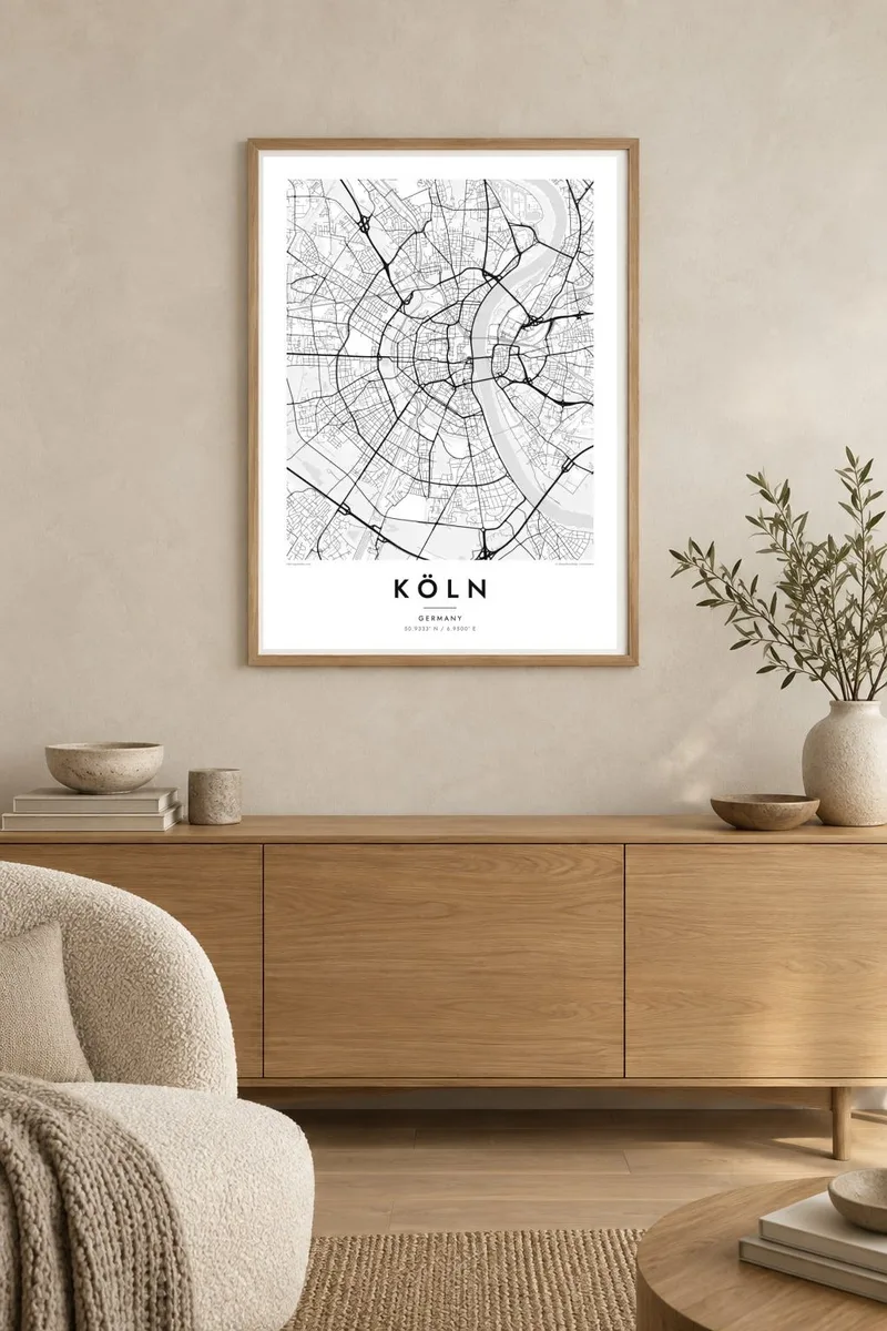
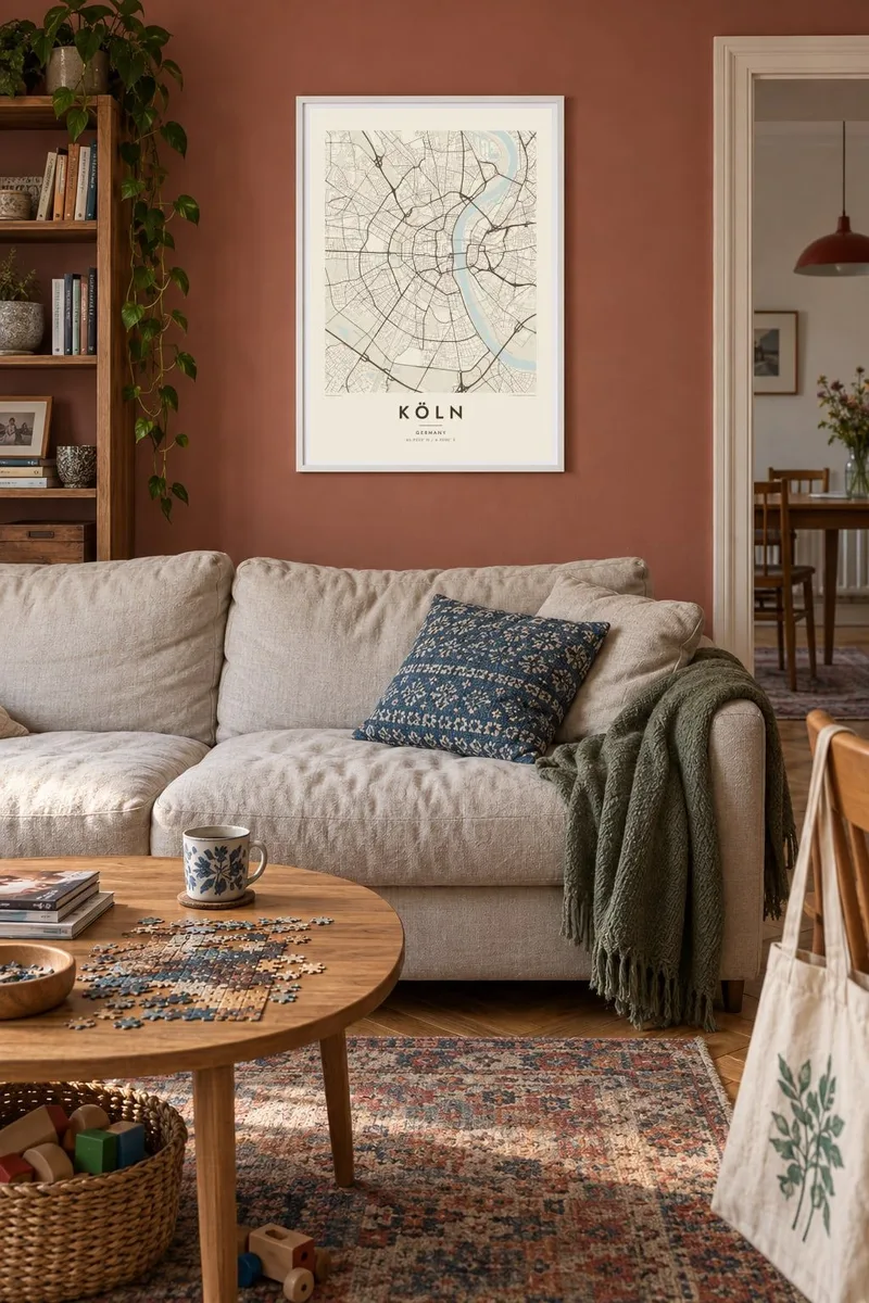
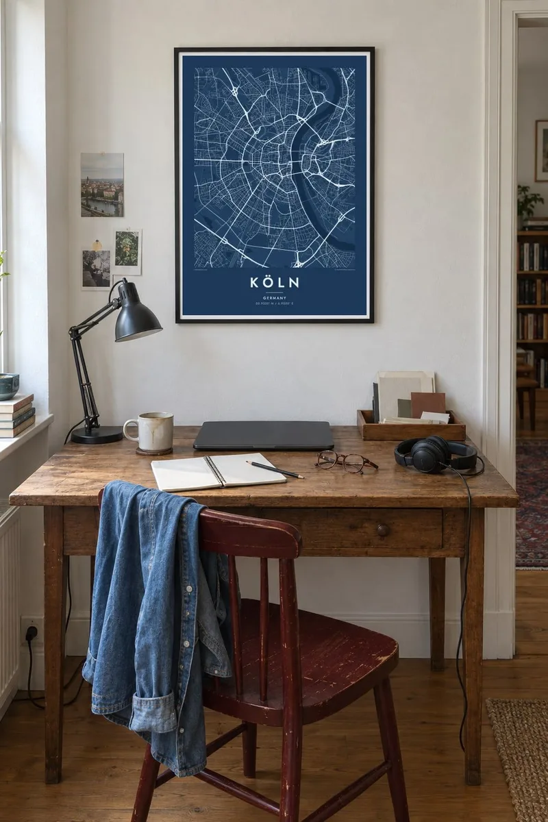
Broad boulevards follow the line of the old city walls in a half-circle from riverbank to riverbank, enclosing the Altstadt and giving the map its signature shape.
Minimalist map poster · Germany
50.9333° N / 6.9500° E
A half-circle old town pressed against the Rhine, wrapped in concentric boulevards and an outer ring of green.

One city, five moods
Tap a style to see it on the wall. Every style costs the same — printed, framed or as HD files.
 Actual pixels · 24 × 36″ print file
Print-sharp
This is a 100% crop of the real print file. Every poster — printed, framed or downloaded — is rendered on our servers at 300 DPI, up to 7,200 × 10,800 pixels, so even the smallest lanes stay crisp on a 24 × 36″ print.
On the wall
The map
Köln, or Cologne, spreads along both banks of the Rhine, but its historic core lies entirely on the west side. From above, the old town forms an almost perfect semicircle against the river, a shape inherited from the medieval city walls. When the walls were taken down in the nineteenth century, they were replaced by the Ring, a sequence of broad boulevards that still traces the arc.
Further out, the pattern repeats: another arc of roads and a railway belt, then the Grüngürtel, an inner and an outer green belt of parks and woodland around the city. Across the river, Deutz and the right-bank districts are linked by a series of bridges, among them the Hohenzollern Bridge, a railway bridge known for the thousands of padlocks left on it by couples.
At the centre stands Cologne Cathedral, a UNESCO World Heritage site that was completed only in 1880, more than six centuries after construction began. A Köln map poster shows why the city is so recognisable from above. The river, the arcs and the radial streets form a pattern that stays clear at any print size.
Broad boulevards follow the line of the old city walls in a half-circle from riverbank to riverbank, enclosing the Altstadt and giving the map its signature shape.
A row of bridges crosses the wide river between the old town and Deutz. They cut across the water in firm straight lines, linking the two halves of the city.
Two rings of parks and woodland circle the city further out, forming broad bands of open space that echo the arc of the Ring.
Make it yours
Add a date, a name or a line of your own, switch style, size or orientation.
The free preview is low-resolution with a watermark. Prints and HD files are rendered at 300 DPI, up to 7,200 × 10,800 px, without a watermark.
Why Köln
People feel strongly about Köln, whether they were born here, studied at the university or came for carnival and stayed. The half-circle plan is iconic, and the poster reads well from across a room.
Add your own title, either Köln or Cologne, and a subtitle such as a Veedel name or a date. Choose Classic black & white, Noir, Paper, Blueprint or Sand. The digital HD files cost $9, and you can see a free watermarked preview first.
Order the Köln poster| Print size | Resolution | Files |
|---|---|---|
| 30 × 40 cm11.8 × 15.7″ | 3,543 × 4,724 px | PNG · PDF |
| 29.7 × 42 cm (A3)11.7 × 16.5″ | 3,508 × 4,961 px | PNG · PDF |
| 42 × 59.4 cm (A2)16.5 × 23.4″ | 4,961 × 7,016 px | PNG · PDF |
| 45.7 × 61 cm18 × 24″ | 5,400 × 7,200 px | PNG · PDF |
| 50 × 70 cm19.7 × 27.6″ | 5,906 × 8,268 px | PNG · PDF |
| 61 × 91.4 cm24 × 36″ | 7,200 × 10,800 px | PNG · PDF |
For comparison, the free preview is 900 px wide, watermarked and meant for screens. The HD files have up to 8× the resolution in each direction and print cleanly at full poster size.
Pick a style at the top of the page, then choose Printed Poster — a size and, if you like, a frame — or Digital HD Files. Checkout takes one step, and your order page updates as soon as the payment goes through.
It is printed on premium 200 gsm matte paper in one of six sizes, from 30 × 40 cm to 24 × 36″. Printed posters start at $39, shipping included.
Yes. Choose a solid wood frame in black, white, natural oak or dark wood. It comes with shatterproof glazing and is ready to hang. Framed posters start at $99, shipping included.
Shipping is free to 60+ countries. Each poster is printed by the nearest of our print partners in 30+ countries and usually arrives in 3–7 business days. You can follow the status and tracking under My Orders. A few countries take 2–5 weeks, and where we don't ship yet, the site tells you before you pay.
Send us a photo within 14 days of delivery and we will reprint it for free or refund you.
Yes. In the editor on this page, change the title, the subtitle and the coordinates line to anything you like, and pick a style and size. Printed, framed and digital orders all use exactly your design.
For $9 you get 300 DPI PNG and print-ready PDF files in all six sizes, without a watermark, to print anywhere. Not sure yet? Download a free watermarked preview first.
Nearby
