Anse Source d'Argent
The southwestern shore breaks into small coves between granite outcrops, protected by an offshore reef line that runs close and parallel to the coast.
Minimalist map poster · Seychelles
4.3601° S / 55.8404° E
A small granite island with a thin coastal road, a steep forested spine and boulder-strewn coves along its western edge.

One city, five moods
Tap a style to see it on the wall. Every style costs the same — printed, framed or as HD files.
 Actual pixels · 24 × 36″ print file
Print-sharp
This is a 100% crop of the real print file. Every poster — printed, framed or downloaded — is rendered on our servers at 300 DPI, up to 7,200 × 10,800 pixels, so even the smallest lanes stay crisp on a 24 × 36″ print.
On the wall

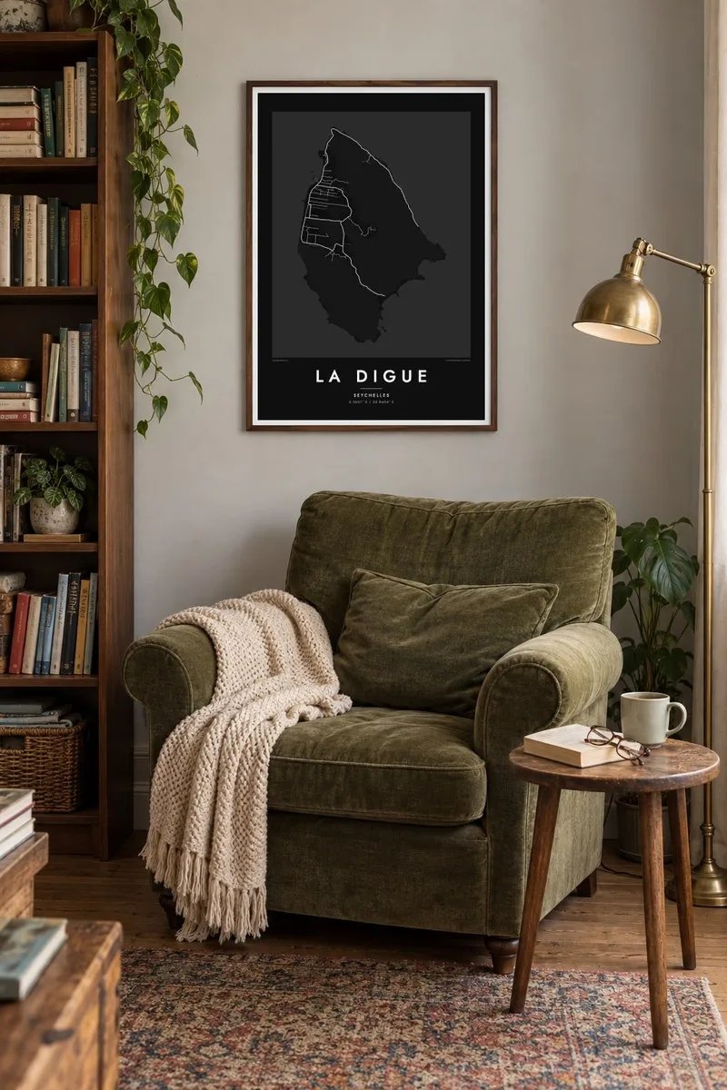
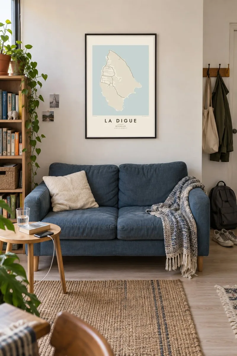
The island
La Digue is the fourth largest inhabited island of the Seychelles, only about ten square kilometres, and among the most visited. Its shape is compact and slightly elongated north to south, with a granite ridge rising through the middle to Nid d'Aigle, the highest point. On the map the interior is steep and mostly empty, while roads and houses keep close to the flatter western plain around La Passe.
Traffic here is mostly bicycles, with few cars on the island, and the road network reflects that scale. Narrow lanes run from the jetty at La Passe along the coast and across the plateau, with a road reaching the rugged east side at Grand Anse. Small tracks lead down to the beaches, each tucked between headlands of rounded granite.
The island's best known shore is Anse Source d'Argent, where sculpted granite boulders stand in shallow water behind a reef. Inland, the Veuve Reserve protects the Seychelles paradise flycatcher, a rare bird largely confined to La Digue. A La Digue map poster shows how much fits inside a very small frame: harbour, plateau, ridge and reef, all within a short cycle ride.
The southwestern shore breaks into small coves between granite outcrops, protected by an offshore reef line that runs close and parallel to the coast.
The ferry harbour on the west coast is where the island's lanes begin, and the densest part of the map gathers around it.
A steep central ridge rises to the island's highest point, leaving the middle of the map largely free of roads and framed by winding tracks.
Make it yours
Add a date, a name or a line of your own, switch style, size or orientation.
The free preview is low-resolution with a watermark. Prints and HD files are rendered at 300 DPI, up to 7,200 × 10,800 px, without a watermark.
Why La Digue
Many people come to La Digue for a honeymoon or a once-in-a-lifetime trip, and a map is a quieter souvenir than a photograph. It also works simply as a composition: a tiny island with a detailed edge and a calm centre.
Personalise the title, add a date as the subtitle, and keep or edit the coordinates line. There are five styles to choose from, and a free 900 px watermarked preview lets you check the layout before ordering.
Order the La Digue poster| Print size | Resolution | Files |
|---|---|---|
| 30 × 40 cm11.8 × 15.7″ | 3,543 × 4,724 px | PNG · PDF |
| 29.7 × 42 cm (A3)11.7 × 16.5″ | 3,508 × 4,961 px | PNG · PDF |
| 42 × 59.4 cm (A2)16.5 × 23.4″ | 4,961 × 7,016 px | PNG · PDF |
| 45.7 × 61 cm18 × 24″ | 5,400 × 7,200 px | PNG · PDF |
| 50 × 70 cm19.7 × 27.6″ | 5,906 × 8,268 px | PNG · PDF |
| 61 × 91.4 cm24 × 36″ | 7,200 × 10,800 px | PNG · PDF |
For comparison, the free preview is 900 px wide, watermarked and meant for screens. The HD files have up to 8× the resolution in each direction and print cleanly at full poster size.
Pick a style at the top of the page, then choose Printed Poster — a size and, if you like, a frame — or Digital HD Files. Checkout takes one step, and your order page updates as soon as the payment goes through.
It is printed on premium 200 gsm matte paper in one of six sizes, from 30 × 40 cm to 24 × 36″. Printed posters start at $39, shipping included.
Yes. Choose a solid wood frame in black, white, natural oak or dark wood. It comes with shatterproof glazing and is ready to hang. Framed posters start at $99, shipping included.
Shipping is free to 60+ countries. Each poster is printed by the nearest of our print partners in 30+ countries and usually arrives in 3–7 business days. You can follow the status and tracking under My Orders. A few countries take 2–5 weeks, and where we don't ship yet, the site tells you before you pay.
Send us a photo within 14 days of delivery and we will reprint it for free or refund you.
Yes. In the editor on this page, change the title, the subtitle and the coordinates line to anything you like, and pick a style and size. Printed, framed and digital orders all use exactly your design.
For $9 you get 300 DPI PNG and print-ready PDF files in all six sizes, without a watermark, to print anywhere. Not sure yet? Download a free watermarked preview first.
Nearby
