Caribbean waterfront
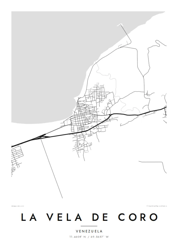
The shoreline defines the town, a long edge of land where streets meet the sea and the port once connected Coro to the world.
Minimalist map poster · Venezuela
11.4608° N / 69.5657° W
The old port of Coro, a line of streets along the Caribbean shore facing the open Gulf


One city, five moods
Tap a style to see it on the wall. Every style costs the same — printed, framed or as HD files.
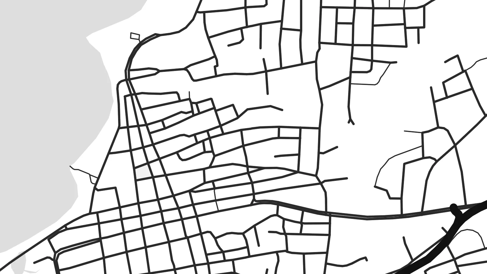 Actual pixels · 24 × 36″ print file
Print-sharp
This is a 100% crop of the real print file. Every poster — printed, framed or downloaded — is rendered on our servers at 300 DPI, up to 7,200 × 10,800 pixels, so even the smallest lanes stay crisp on a 24 × 36″ print.
On the wall


The map
La Vela de Coro is the historic port of Coro, in Venezuela's Falcón state. It lies on the Caribbean coast a short distance from the city, and on the map it appears as a band of streets stretched along the shoreline, with a road leading inland to Coro across flat, dry country.
The town holds an important place in Venezuelan history. In 1806, Francisco de Miranda landed here during his expedition for independence, raising the flag that later inspired the national colours. The port is also part of the UNESCO World Heritage listing known as Coro and its Port.
A La Vela de Coro map poster emphasises this coastal position. The long waterfront, the small historic grid behind it and the open water beyond give the design a sense of horizon, an appropriate shape for a place tied to arrival and departure.
The shoreline defines the town, a long edge of land where streets meet the sea and the port once connected Coro to the world.
Behind the coast, a compact street grid holds the older buildings recognised as part of the Coro and its Port World Heritage site.
A route runs inland across flat terrain to the city of Coro, linking the port with the colonial town it served.
Make it yours
Add a date, a name or a line of your own, switch style, size or orientation.
The free preview is low-resolution with a watermark. Prints and HD files are rendered at 300 DPI, up to 7,200 × 10,800 px, without a watermark.
Why La Vela de Coro
For people from Falcón, or anyone moved by Venezuela's independence story, La Vela de Coro is a map with meaning. Its open coastline creates a calm, spacious composition.
Add a title, subtitle or date to the coordinates line, and choose from five styles, from the warmth of Paper and Sand to the drama of Noir. Digital files are $9, and printed posters are available with or without a frame.
Order the La Vela de Coro poster| Print size | Resolution | Files |
|---|---|---|
| 30 × 40 cm11.8 × 15.7″ | 3,543 × 4,724 px | PNG · PDF |
| 29.7 × 42 cm (A3)11.7 × 16.5″ | 3,508 × 4,961 px | PNG · PDF |
| 42 × 59.4 cm (A2)16.5 × 23.4″ | 4,961 × 7,016 px | PNG · PDF |
| 45.7 × 61 cm18 × 24″ | 5,400 × 7,200 px | PNG · PDF |
| 50 × 70 cm19.7 × 27.6″ | 5,906 × 8,268 px | PNG · PDF |
| 61 × 91.4 cm24 × 36″ | 7,200 × 10,800 px | PNG · PDF |
For comparison, the free preview is 900 px wide, watermarked and meant for screens. The HD files have up to 8× the resolution in each direction and print cleanly at full poster size.
Pick a style at the top of the page, then choose Printed Poster — a size and, if you like, a frame — or Digital HD Files. Checkout takes one step, and your order page updates as soon as the payment goes through.
It is printed on premium 200 gsm matte paper in one of six sizes, from 30 × 40 cm to 24 × 36″. Printed posters start at $39, shipping included.
Yes. Choose a solid wood frame in black, white, natural oak or dark wood. It comes with shatterproof glazing and is ready to hang. Framed posters start at $99, shipping included.
Shipping is free to 60+ countries. Each poster is printed by the nearest of our print partners in 30+ countries and usually arrives in 3–7 business days. You can follow the status and tracking under My Orders. A few countries take 2–5 weeks, and where we don't ship yet, the site tells you before you pay.
Send us a photo within 14 days of delivery and we will reprint it for free or refund you.
Yes. In the editor on this page, change the title, the subtitle and the coordinates line to anything you like, and pick a style and size. Printed, framed and digital orders all use exactly your design.
For $9 you get 300 DPI PNG and print-ready PDF files in all six sizes, without a watermark, to print anywhere. Not sure yet? Download a free watermarked preview first.
Nearby
