River and canal
The River Aire and the Leeds and Liverpool Canal run close together through the city. South of the centre, their parallel lines pass wharves, locks and old mills.
Minimalist map poster · United Kingdom
53.7965° N / 1.5478° W
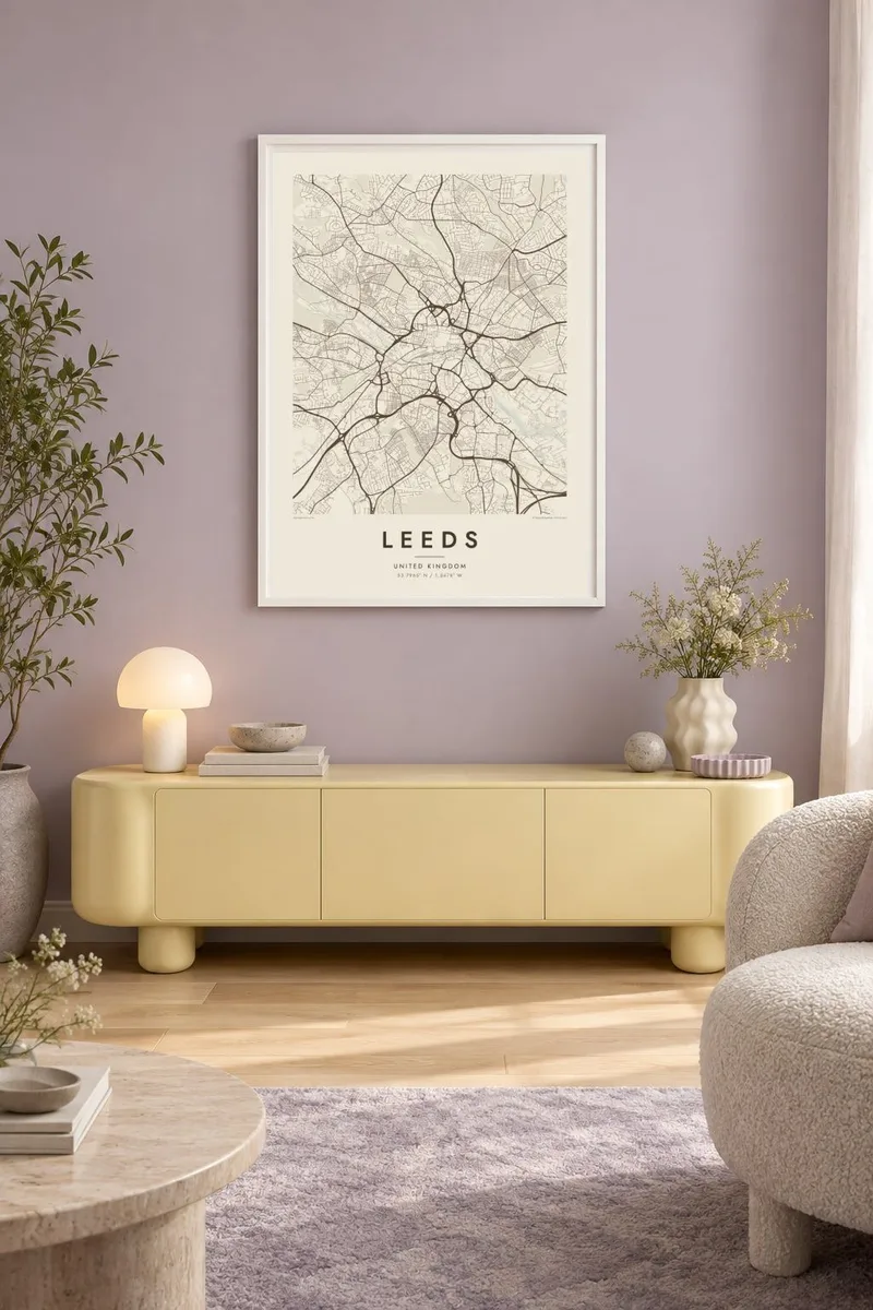
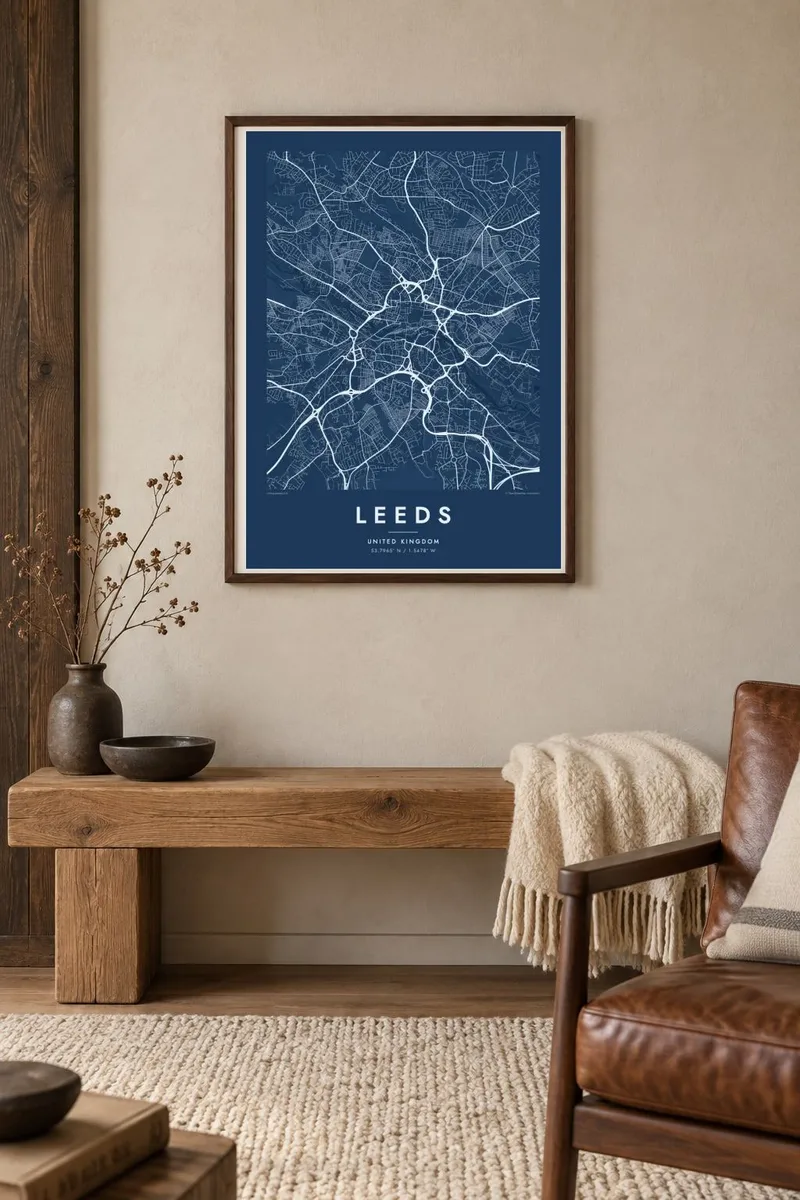
A dense Victorian centre above the River Aire, wrapped by a ring road and spreading north into parks and terraces.

One city, five moods
Tap a style to see it on the wall. Every style costs the same — printed, framed or as HD files.
 Actual pixels · 24 × 36″ print file
Print-sharp
This is a 100% crop of the real print file. Every poster — printed, framed or downloaded — is rendered on our servers at 300 DPI, up to 7,200 × 10,800 pixels, so even the smallest lanes stay crisp on a 24 × 36″ print.
On the wall

The map
Leeds grew up on the River Aire in West Yorkshire, and on the map the river and the Leeds and Liverpool Canal run side by side along the south of the centre. The city core sits just north of the water on rising ground. It is a compact area of Victorian streets, arcades and civic buildings bounded by the inner ring road.
Beyond the centre the pattern changes quickly. To the north lie the University of Leeds campus, the terraced streets of Hyde Park and Headingley, the open space of Woodhouse Moor and, further out, Roundhay Park. To the west the river valley leads past the ruins of Kirkstall Abbey. Motorways and railway lines add sweeping curves around the edges.
In the nineteenth century Leeds became one of the great centres of the wool and textile trade, and its town hall and covered arcades date from that period. A Leeds map poster shows how the industrial riverside, the Victorian core and the leafy northern suburbs fit together, with the ring road drawing a clear line between them.
The River Aire and the Leeds and Liverpool Canal run close together through the city. South of the centre, their parallel lines pass wharves, locks and old mills.
A partly sunken ring road wraps around the north and west of the city centre. It forms a strong curved boundary between the core and the districts around it.
One of the largest city parks in Europe, Roundhay Park spreads across the north-east of the city with lakes and woodland. On the map it is a broad green shape.
Make it yours
Add a date, a name or a line of your own, switch style, size or orientation.
The free preview is low-resolution with a watermark. Prints and HD files are rendered at 300 DPI, up to 7,200 × 10,800 px, without a watermark.
Why Leeds
Leeds maps go to students who spent three years in Headingley, to families from across Yorkshire and to anyone who has walked from the station to the market. The mix of river, canal, terraces and parks is detailed without feeling crowded.
Personalise the title, subtitle and coordinates, perhaps with a graduation year or a street name. Choose Classic black & white, Noir, Paper, Blueprint or Sand, then download six print sizes for $9 or order a matte printed poster with an optional wooden frame.
Order the Leeds poster| Print size | Resolution | Files |
|---|---|---|
| 30 × 40 cm11.8 × 15.7″ | 3,543 × 4,724 px | PNG · PDF |
| 29.7 × 42 cm (A3)11.7 × 16.5″ | 3,508 × 4,961 px | PNG · PDF |
| 42 × 59.4 cm (A2)16.5 × 23.4″ | 4,961 × 7,016 px | PNG · PDF |
| 45.7 × 61 cm18 × 24″ | 5,400 × 7,200 px | PNG · PDF |
| 50 × 70 cm19.7 × 27.6″ | 5,906 × 8,268 px | PNG · PDF |
| 61 × 91.4 cm24 × 36″ | 7,200 × 10,800 px | PNG · PDF |
For comparison, the free preview is 900 px wide, watermarked and meant for screens. The HD files have up to 8× the resolution in each direction and print cleanly at full poster size.
Pick a style at the top of the page, then choose Printed Poster — a size and, if you like, a frame — or Digital HD Files. Checkout takes one step, and your order page updates as soon as the payment goes through.
It is printed on premium 200 gsm matte paper in one of six sizes, from 30 × 40 cm to 24 × 36″. Printed posters start at $39, shipping included.
Yes. Choose a solid wood frame in black, white, natural oak or dark wood. It comes with shatterproof glazing and is ready to hang. Framed posters start at $99, shipping included.
Shipping is free to 60+ countries. Each poster is printed by the nearest of our print partners in 30+ countries and usually arrives in 3–7 business days. You can follow the status and tracking under My Orders. A few countries take 2–5 weeks, and where we don't ship yet, the site tells you before you pay.
Send us a photo within 14 days of delivery and we will reprint it for free or refund you.
Yes. In the editor on this page, change the title, the subtitle and the coordinates line to anything you like, and pick a style and size. Printed, framed and digital orders all use exactly your design.
For $9 you get 300 DPI PNG and print-ready PDF files in all six sizes, without a watermark, to print anywhere. Not sure yet? Download a free watermarked preview first.
Nearby
