Right-angle grid
The urban area follows a strict grid of square blocks. The same pattern appears in many towns founded as settlement pushed westward across São Paulo state.
Minimalist map poster · Brazil
22.1458° S / 51.1708° W
A western São Paulo town laid out on a tidy grid, set among rolling farmland and long straight country roads.

One city, five moods
Tap a style to see it on the wall. Every style costs the same — printed, framed or as HD files.
 Actual pixels · 24 × 36″ print file
Print-sharp
This is a 100% crop of the real print file. Every poster — printed, framed or downloaded — is rendered on our servers at 300 DPI, up to 7,200 × 10,800 pixels, so even the smallest lanes stay crisp on a 24 × 36″ print.
On the wall

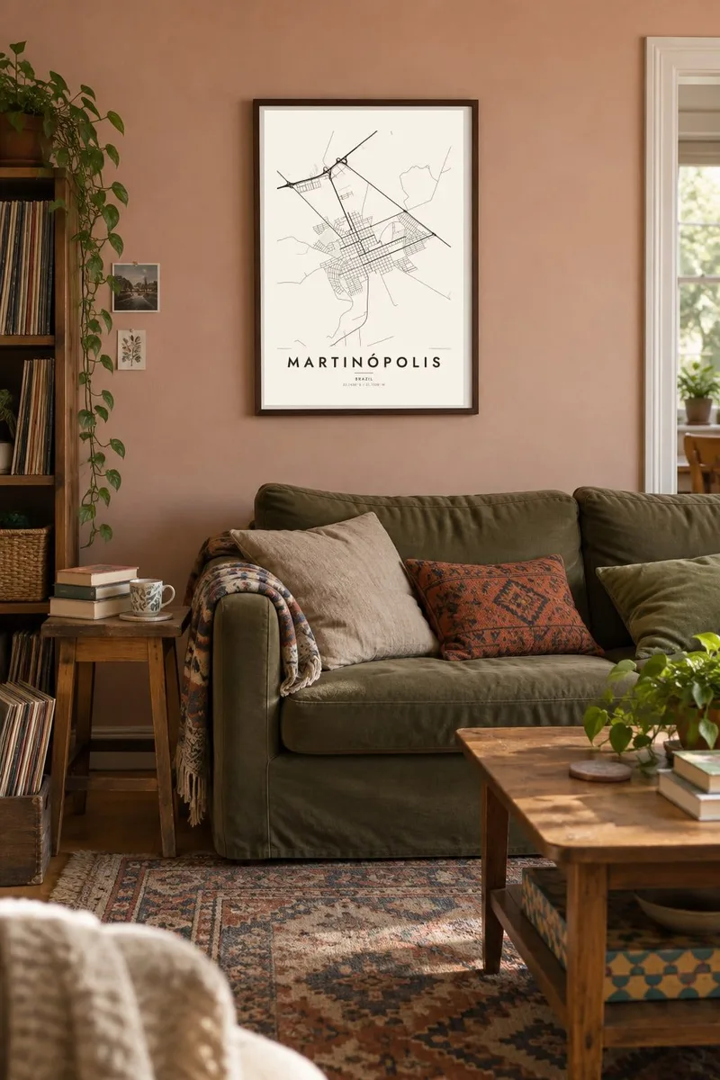
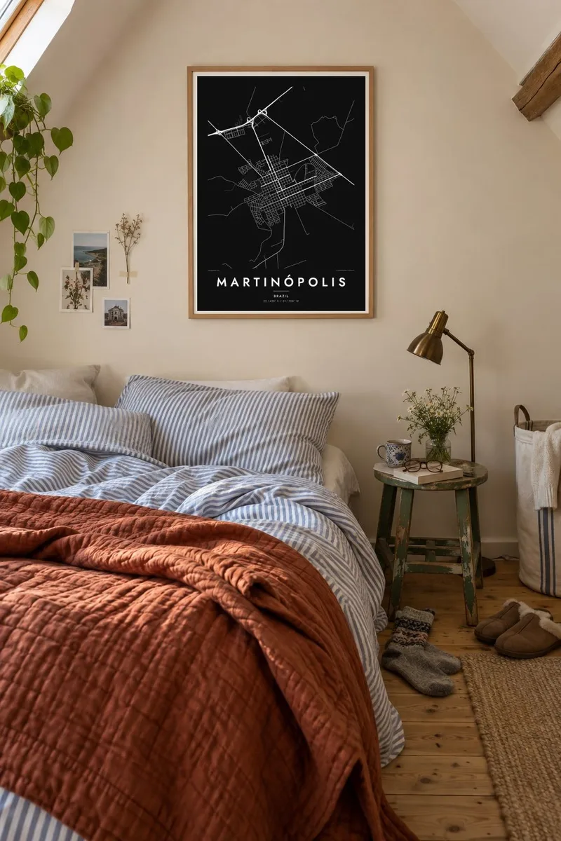
The map
Martinópolis lies in the far west of São Paulo state, a short distance from Presidente Prudente. The region was settled largely in the twentieth century, as farming spread inland. That relatively recent origin shows clearly on the map. The town is built on a regular grid of square blocks, with streets meeting at right angles and a square near the middle.
Beyond the grid, the land rolls gently in every direction. It is drawn as a loose net of rural roads, farm tracks and small streams running toward larger rivers. A Martinópolis map poster makes the most of this contrast, pairing the neat geometry of the town with the looser, softer lines of the countryside around it.
The municipality's economy has long rested on agriculture and cattle, as is typical of the Alta Sorocabana region of western São Paulo. It is a quiet town rather than a famous one. The appeal of its map lies in that clarity: a planned settlement on open land, readable at a glance and satisfying to look at.
The urban area follows a strict grid of square blocks. The same pattern appears in many towns founded as settlement pushed westward across São Paulo state.
A square near the heart of the grid breaks the rhythm of the blocks. It gives the poster a natural focal point and a sense of centre.
Rural roads spread out from the edge of town across the farmland. In places they run long and straight, and in others they bend with the terrain.
Make it yours
Add a date, a name or a line of your own, switch style, size or orientation.
The free preview is low-resolution with a watermark. Prints and HD files are rendered at 300 DPI, up to 7,200 × 10,800 px, without a watermark.
Why Martinópolis
For people from western São Paulo, a map of Martinópolis is a familiar shape: the grid they walked as children, the square and the roads out of town. The orderly plan suits clean, modern rooms and pairs well with maps of nearby towns.
You can rename the poster, add a subtitle and a date, and adjust the coordinates. Choose from five styles, then download 300 DPI PNG and PDF files in six print sizes for $9, or order a printed poster on matte paper.
Order the Martinópolis poster| Print size | Resolution | Files |
|---|---|---|
| 30 × 40 cm11.8 × 15.7″ | 3,543 × 4,724 px | PNG · PDF |
| 29.7 × 42 cm (A3)11.7 × 16.5″ | 3,508 × 4,961 px | PNG · PDF |
| 42 × 59.4 cm (A2)16.5 × 23.4″ | 4,961 × 7,016 px | PNG · PDF |
| 45.7 × 61 cm18 × 24″ | 5,400 × 7,200 px | PNG · PDF |
| 50 × 70 cm19.7 × 27.6″ | 5,906 × 8,268 px | PNG · PDF |
| 61 × 91.4 cm24 × 36″ | 7,200 × 10,800 px | PNG · PDF |
For comparison, the free preview is 900 px wide, watermarked and meant for screens. The HD files have up to 8× the resolution in each direction and print cleanly at full poster size.
Pick a style at the top of the page, then choose Printed Poster — a size and, if you like, a frame — or Digital HD Files. Checkout takes one step, and your order page updates as soon as the payment goes through.
It is printed on premium 200 gsm matte paper in one of six sizes, from 30 × 40 cm to 24 × 36″. Printed posters start at $39, shipping included.
Yes. Choose a solid wood frame in black, white, natural oak or dark wood. It comes with shatterproof glazing and is ready to hang. Framed posters start at $99, shipping included.
Shipping is free to 60+ countries. Each poster is printed by the nearest of our print partners in 30+ countries and usually arrives in 3–7 business days. You can follow the status and tracking under My Orders. A few countries take 2–5 weeks, and where we don't ship yet, the site tells you before you pay.
Send us a photo within 14 days of delivery and we will reprint it for free or refund you.
Yes. In the editor on this page, change the title, the subtitle and the coordinates line to anything you like, and pick a style and size. Printed, framed and digital orders all use exactly your design.
For $9 you get 300 DPI PNG and print-ready PDF files in all six sizes, without a watermark, to print anywhere. Not sure yet? Download a free watermarked preview first.
Nearby
