Cook's Bay
The eastern of the two northern bays, a long, narrow inlet reaching deep into the island. Villages and small hotels line its shores along the coastal road.
Minimalist map poster · France
17.5333° S / 149.8343° W
A heart-shaped volcanic island in French Polynesia, notched by two deep northern bays and ringed by a wide lagoon.

One city, five moods
Tap a style to see it on the wall. Every style costs the same — printed, framed or as HD files.
 Actual pixels · 24 × 36″ print file
Print-sharp
This is a 100% crop of the real print file. Every poster — printed, framed or downloaded — is rendered on our servers at 300 DPI, up to 7,200 × 10,800 pixels, so even the smallest lanes stay crisp on a 24 × 36″ print.
On the wall
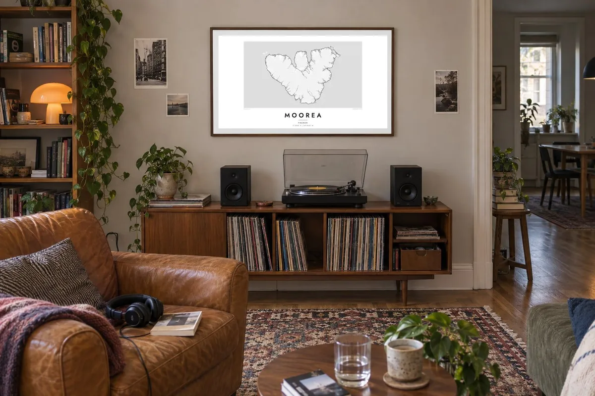


The island
Moorea lies in the Society Islands, a short ferry ride northwest of Tahiti. From above it has a roughly triangular outline, often compared to a heart. It is what remains of an eroded volcano, and jagged peaks rise from its centre. A reef circles the island some distance offshore, enclosing a calm lagoon, and a single road follows the coast all the way round.
The north coast is where the shape becomes memorable. Two deep bays, Cook's Bay and Opunohu Bay, cut into the island side by side, divided by the steep mass of Mount Rotui. A Moorea map poster shows these twin inlets clearly, with the ring road dipping in and out of each and the reef tracing a second outline offshore.
The central peaks, including Mount Tohiea, form a sharp skyline that can be seen from Tahiti across the channel. The Belvedere lookout above the two bays is the island's best-known viewpoint. The lagoon is also a place of science, with research stations that study coral reefs and the life around them.
The eastern of the two northern bays, a long, narrow inlet reaching deep into the island. Villages and small hotels line its shores along the coastal road.
The western twin of Cook's Bay, less developed and backed by a farming valley. Together, the two inlets give the north coast its unmistakable form.
A barrier reef circles the island a short way offshore, broken by passes where boats enter. The lagoon between reef and shore forms a calm ring around the whole outline.
Make it yours
Add a date, a name or a line of your own, switch style, size or orientation.
The free preview is low-resolution with a watermark. Prints and HD files are rendered at 300 DPI, up to 7,200 × 10,800 px, without a watermark.
Why Moorea
Moorea is a popular honeymoon destination, and many couples hang it as a record of that trip. Others come for the diving, the hikes over the ridges, or a family link to the Society Islands. The island's compact, distinctive shape is ideal for a single, centred print.
Add names and a wedding date to the title and subtitle, and keep or edit the coordinates line. Choose from Classic black & white, Noir, Paper, Blueprint or Sand. Check the free watermarked preview, then download the HD files or order a framed poster.
Order the Moorea poster| Print size | Resolution | Files |
|---|---|---|
| 30 × 40 cm11.8 × 15.7″ | 3,543 × 4,724 px | PNG · PDF |
| 29.7 × 42 cm (A3)11.7 × 16.5″ | 3,508 × 4,961 px | PNG · PDF |
| 42 × 59.4 cm (A2)16.5 × 23.4″ | 4,961 × 7,016 px | PNG · PDF |
| 45.7 × 61 cm18 × 24″ | 5,400 × 7,200 px | PNG · PDF |
| 50 × 70 cm19.7 × 27.6″ | 5,906 × 8,268 px | PNG · PDF |
| 61 × 91.4 cm24 × 36″ | 7,200 × 10,800 px | PNG · PDF |
For comparison, the free preview is 900 px wide, watermarked and meant for screens. The HD files have up to 8× the resolution in each direction and print cleanly at full poster size.
Pick a style at the top of the page, then choose Printed Poster — a size and, if you like, a frame — or Digital HD Files. Checkout takes one step, and your order page updates as soon as the payment goes through.
It is printed on premium 200 gsm matte paper in one of six sizes, from 30 × 40 cm to 24 × 36″. Printed posters start at $39, shipping included.
Yes. Choose a solid wood frame in black, white, natural oak or dark wood. It comes with shatterproof glazing and is ready to hang. Framed posters start at $99, shipping included.
Shipping is free to 60+ countries. Each poster is printed by the nearest of our print partners in 30+ countries and usually arrives in 3–7 business days. You can follow the status and tracking under My Orders. A few countries take 2–5 weeks, and where we don't ship yet, the site tells you before you pay.
Send us a photo within 14 days of delivery and we will reprint it for free or refund you.
Yes. In the editor on this page, change the title, the subtitle and the coordinates line to anything you like, and pick a style and size. Printed, framed and digital orders all use exactly your design.
For $9 you get 300 DPI PNG and print-ready PDF files in all six sizes, without a watermark, to print anywhere. Not sure yet? Download a free watermarked preview first.
Nearby
