Ring road system
Three concentric rings arc around the city centre, forming a clear, almost diagrammatic structure that makes Århus easy to read from above.
Poster minimalist tal-mappa · id-Danimarka
56.1567° N / 10.2108° E
A harbour city on the Kattegat, ringed by concentric roads and cut through by a reopened river


Belt waħda, ħames atmosferi
Agħfas fuq stil biex tarah fuq il-ħajt. Kull stil jiswa l-istess — stampat, inkurnat jew bħala fajls HD.
 Pixels reali · fajl tal-istampar 24 × 36″
Preċiż għall-istampar
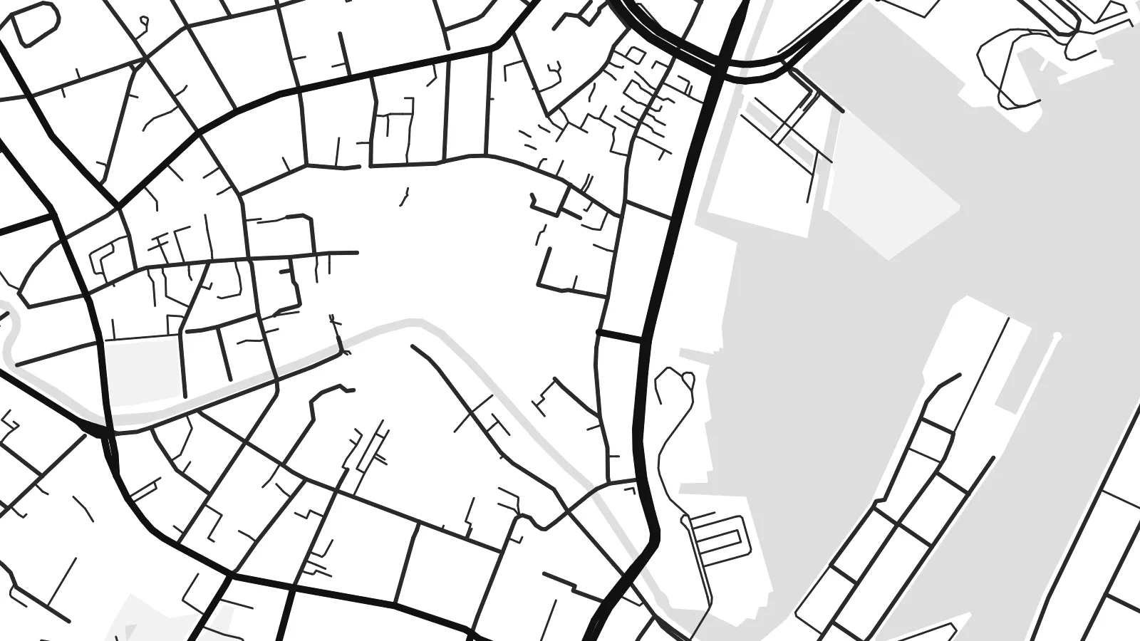
Dan huwa qtugħ ta' 100% mill-fajl tal-istampar reali. Kull poster — stampat, inkurnat jew iddawnlowdjat — jiġi ġġenerat fuq is-servers tagħna b'300 DPI, sa 7,200 × 10,800 pixel, biex saħansitra l-iżgħar toroq jibqgħu ċari fuq stampa ta' 24 × 36″.
Fuq il-ħajt


Il-mappa
Århus, Denmark's second-largest city, lies on the east coast of Jutland at the head of Aarhus Bay. Its map is organised by a clear system of ring roads, Ring 1, Ring 2 and Ring 3, which trace successive arcs around the centre and give the city a neatly layered structure, with the harbour and the sea closing the circle on the east.
Through the middle runs the Aarhus River, which was covered over in the twentieth century and reopened in stages from the 1990s. Its banks are now lined with cafés and footpaths. Nearby, the ARoS art museum is crowned by the circular Your Rainbow Panorama, and the open-air museum Den Gamle By preserves historic townhouses gathered from across Denmark.
North of the centre, the Aarhus University campus spreads across a park of yellow brick buildings, and the old harbour has become the new district of Aarhus Ø. An Århus map poster shows how old streets, rings, forest and docks fit together, with the woods of Riis Skov and Marselisborg flanking the city along the shore.
Three concentric rings arc around the city centre, forming a clear, almost diagrammatic structure that makes Århus easy to read from above.
The reopened river winds through the old town to the harbour, a slim line of water that ties the historic centre together.
The former container port on the northern harbour has become a district of angular residential blocks, their sharp edges extending into the bay.
Agħmlu tiegħek
Żid data, isem jew sentenza tiegħek, ibdel l-istil, id-daqs jew l-orjentazzjoni.
Il-preview b'xejn hija b'riżoluzzjoni baxxa u bil-watermark. L-istampi u l-fajls HD jiġu ġġenerati b'300 DPI, sa 7,200 × 10,800 px, mingħajr watermark.
Għaliex Århus
Århus is a city of students and long-term residents, and many who studied at the university or lived in the Latin Quarter keep strong ties to it. Write Aarhus or Århus in the title, add a street or a year as the subtitle, and include the coordinates.
The Scandinavian feel suits the Classic black & white and Paper styles, while Noir and Blueprint give a more graphic look and Sand a warmer one. HD files are $9, with no watermark, and printed posters ship from print partners in more than 30 countries.
Ordna l-poster Århus| Daqs tal-istampa | Riżoluzzjoni | Fajls |
|---|---|---|
| 30 × 40 cm (11.8 × 15.7″) | 3,543 × 4,724 px | PNG · PDF |
| 29.7 × 42 cm (A3, 11.7 × 16.5″) | 3,508 × 4,961 px | PNG · PDF |
| 42 × 59.4 cm (A2, 16.5 × 23.4″) | 4,961 × 7,016 px | PNG · PDF |
| 45.7 × 61 cm (18 × 24″) | 5,400 × 7,200 px | PNG · PDF |
| 50 × 70 cm (19.7 × 27.6″) | 5,906 × 8,268 px | PNG · PDF |
| 61 × 91.4 cm (24 × 36″) | 7,200 × 10,800 px | PNG · PDF |
Għal paragun, il-preview b'xejn huwa wiesa' 900 px, għandu watermark u huwa maħsub għall-iskrins. Il-fajls HD għandhom sa 8× ir-riżoluzzjoni f'kull direzzjoni u jiġu stampati b'mod nadif fid-daqs sħiħ tal-poster.
Agħżel stil fin-naħa ta' fuq tal-paġna, imbagħad agħżel Poster Stampat — daqs u, jekk trid, kurniċa — jew Fajls Diġitali HD. Il-ħlas isir f'pass wieħed, u l-paġna tal-ordni tiegħek tiġi aġġornata malli l-ħlas jgħaddi.
Jiġi stampat fuq karta matte premium ta' 200 gsm f'wieħed minn sitt daqsijiet, minn 30 × 40 cm sa 24 × 36″. Il-posters stampati jibdew minn {printFrom}, bil-kunsinna inkluża.
Iva. Agħżel kurniċa tal-injam solidu f'iswed, abjad, ballut naturali jew injam skur. Tiġi bi ħġieġ li ma jinkisirx u lesta biex tittella'. Il-posters inkurnati jibdew minn {framedFrom}, bil-kunsinna inkluża.
Il-kunsinna hija b'xejn madwar id-dinja. Kull poster jiġi stampat mill-eqreb sieħeb tal-istampar tagħna f'aktar minn 30 pajjiż u ġeneralment jasal fi 3–7 ijiem tax-xogħol. Tista' ssegwi l-istatus u t-tracking taħt L-Ordnijiet Tiegħi.
Ibgħatilna ritratt fi żmien 14-il jum mill-kunsinna u aħna nistampawh mill-ġdid b'xejn jew nirrimborżawk.
Iva. Fl-editur ta' din il-paġna, biddel it-titlu, is-sottotitlu u l-linja tal-koordinati għal kwalunkwe ħaġa trid, u agħżel stil u daqs. L-ordnijiet stampati, inkurnati u diġitali kollha jużaw eżattament id-disinn tiegħek.
Għal $9 tikseb fajls PNG b'300 DPI u PDF lesti għall-istampar fis-sitt daqsijiet kollha, mingħajr watermark, biex tistampa kullimkien. Għadek mhux ċert? L-ewwel iddawnlowdja preview b'xejn bil-watermark.
