Central street grid
The administrative and commercial core forms a small, regular network of streets. It is the densest part of the drawing and the natural focal point of the poster.
Poster minimalist tal-mappa · iż-Żambja
11.1998° S / 28.8943° E
A provincial capital in northern Zambia, its streets laid out across the wooded plateau of Luapula Province.


Belt waħda, ħames atmosferi
Agħfas fuq stil biex tarah fuq il-ħajt. Kull stil jiswa l-istess — stampat, inkurnat jew bħala fajls HD.
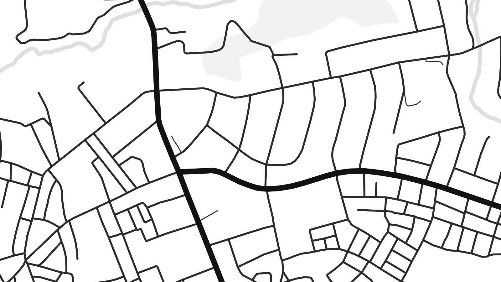 Pixels reali · fajl tal-istampar 24 × 36″
Preċiż għall-istampar
Dan huwa qtugħ ta' 100% mill-fajl tal-istampar reali. Kull poster — stampat, inkurnat jew iddawnlowdjat — jiġi ġġenerat fuq is-servers tagħna b'300 DPI, sa 7,200 × 10,800 pixel, biex saħansitra l-iżgħar toroq jibqgħu ċari fuq stampa ta' 24 × 36″.
Fuq il-ħajt


Il-mappa
Mansa is the capital of Luapula Province in northern Zambia. The province is named for the Luapula River, which forms much of the border with the Democratic Republic of the Congo. The town lies on a plateau of woodland and small farms, and on a map its compact grid of central streets gives way quickly to open ground, footpaths and scattered settlements.
Under colonial administration the town was called Fort Rosebery, and it took the name Mansa after Zambia's independence. Today it is the administrative and commercial centre of the province, with government offices, markets and schools, and it is linked by road to the lakes and river valleys that shape life across Luapula.
A Mansa map poster is a quieter composition than a dense city plan. The main roads meet near the centre, residential areas spread out in looser patterns, and the surrounding land leaves plenty of white space. The finished print feels calm and balanced, which suits a hallway, a study or an office wall.
The administrative and commercial core forms a small, regular network of streets. It is the densest part of the drawing and the natural focal point of the poster.
Main roads leave Mansa in several directions toward other parts of Luapula Province. Their long lines give the composition structure against the lighter background of the surrounding plateau.
Beyond the built-up area, tracks and scattered homesteads thin out into woodland and farmland. The wide margins of empty space set the town in its landscape.
Agħmlu tiegħek
Żid data, isem jew sentenza tiegħek, ibdel l-istil, id-daqs jew l-orjentazzjoni.
Il-preview b'xejn hija b'riżoluzzjoni baxxa u bil-watermark. L-istampi u l-fajls HD jiġu ġġenerati b'300 DPI, sa 7,200 × 10,800 px, mingħajr watermark.
Għaliex Mansa
Mansa is a place people often carry with them after they leave, whether they grew up there, taught in its schools or spent a posting in the provincial capital. A simple map of its streets is a personal way to keep that connection.
The title, subtitle and coordinates line can be changed to add a name, a year or a short dedication. Pick one of five styles, from Classic black & white to Sand, and download the HD files for $9 or order a printed poster with an optional wooden frame.
Ordna l-poster Mansa| Daqs tal-istampa | Riżoluzzjoni | Fajls |
|---|---|---|
| 30 × 40 cm (11.8 × 15.7″) | 3,543 × 4,724 px | PNG · PDF |
| 29.7 × 42 cm (A3, 11.7 × 16.5″) | 3,508 × 4,961 px | PNG · PDF |
| 42 × 59.4 cm (A2, 16.5 × 23.4″) | 4,961 × 7,016 px | PNG · PDF |
| 45.7 × 61 cm (18 × 24″) | 5,400 × 7,200 px | PNG · PDF |
| 50 × 70 cm (19.7 × 27.6″) | 5,906 × 8,268 px | PNG · PDF |
| 61 × 91.4 cm (24 × 36″) | 7,200 × 10,800 px | PNG · PDF |
Għal paragun, il-preview b'xejn huwa wiesa' 900 px, għandu watermark u huwa maħsub għall-iskrins. Il-fajls HD għandhom sa 8× ir-riżoluzzjoni f'kull direzzjoni u jiġu stampati b'mod nadif fid-daqs sħiħ tal-poster.
Agħżel stil fin-naħa ta' fuq tal-paġna, imbagħad agħżel Poster Stampat — daqs u, jekk trid, kurniċa — jew Fajls Diġitali HD. Il-ħlas isir f'pass wieħed, u l-paġna tal-ordni tiegħek tiġi aġġornata malli l-ħlas jgħaddi.
Jiġi stampat fuq karta matte premium ta' 200 gsm f'wieħed minn sitt daqsijiet, minn 30 × 40 cm sa 24 × 36″. Il-posters stampati jibdew minn {printFrom}, bil-kunsinna inkluża.
Iva. Agħżel kurniċa tal-injam solidu f'iswed, abjad, ballut naturali jew injam skur. Tiġi bi ħġieġ li ma jinkisirx u lesta biex tittella'. Il-posters inkurnati jibdew minn {framedFrom}, bil-kunsinna inkluża.
Il-kunsinna hija b'xejn madwar id-dinja. Kull poster jiġi stampat mill-eqreb sieħeb tal-istampar tagħna f'aktar minn 30 pajjiż u ġeneralment jasal fi 3–7 ijiem tax-xogħol. Tista' ssegwi l-istatus u t-tracking taħt L-Ordnijiet Tiegħi.
Ibgħatilna ritratt fi żmien 14-il jum mill-kunsinna u aħna nistampawh mill-ġdid b'xejn jew nirrimborżawk.
Iva. Fl-editur ta' din il-paġna, biddel it-titlu, is-sottotitlu u l-linja tal-koordinati għal kwalunkwe ħaġa trid, u agħżel stil u daqs. L-ordnijiet stampati, inkurnati u diġitali kollha jużaw eżattament id-disinn tiegħek.
Għal $9 tikseb fajls PNG b'300 DPI u PDF lesti għall-istampar fis-sitt daqsijiet kollha, mingħajr watermark, biex tistampa kullimkien. Għadek mhux ċert? L-ewwel iddawnlowdja preview b'xejn bil-watermark.
