Mountain edge
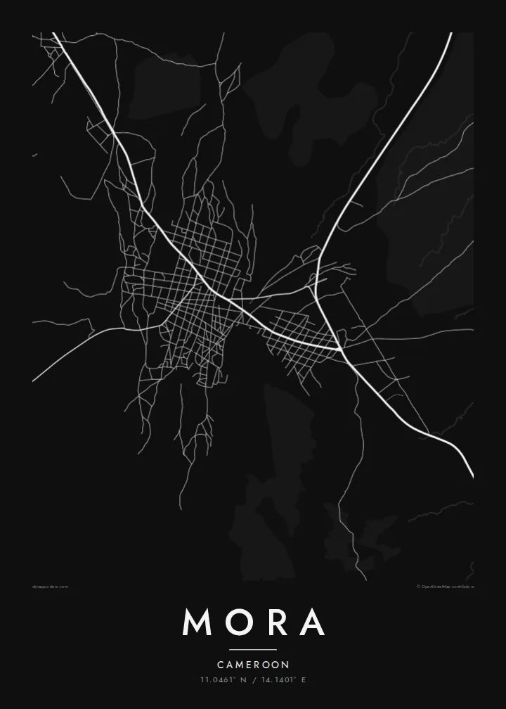
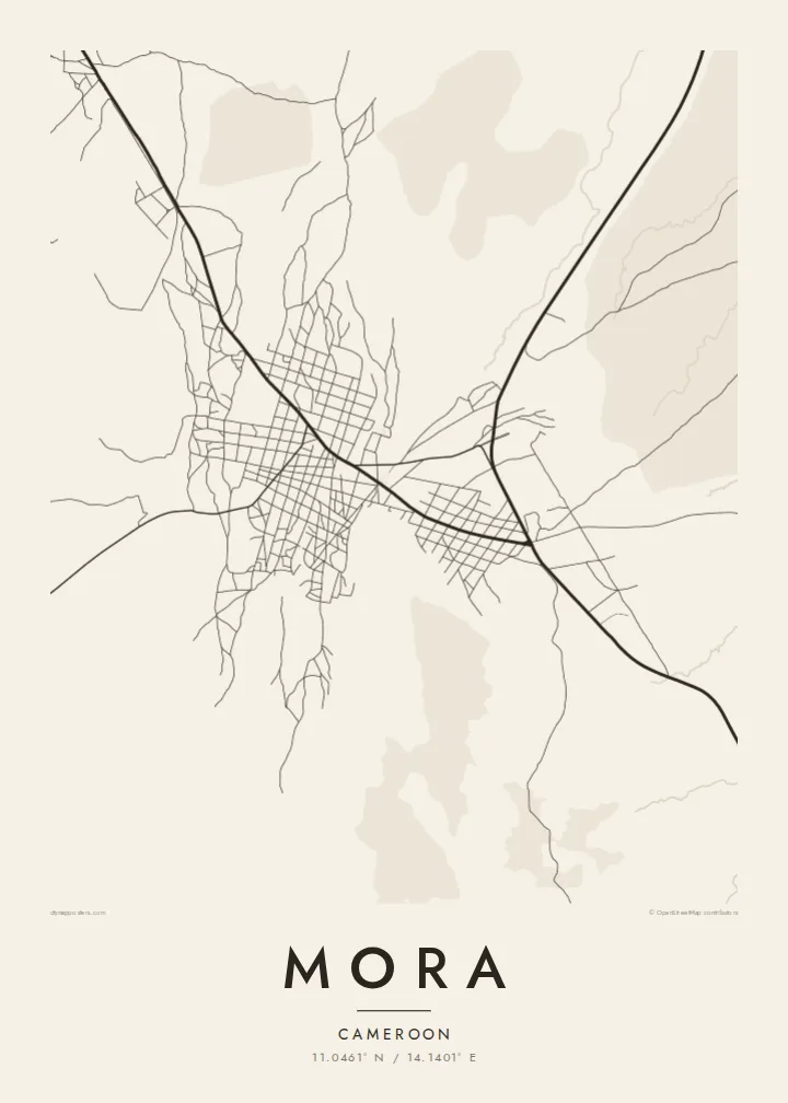
The Mandara Mountains rise close to the town, and the map shows the change from dense streets to sparse tracks where the ground becomes steep.
Poster minimalist tal-mappa · il-Kamerun
11.0461° N / 14.1401° E
A Sahel market town at the foot of the Mandara Mountains, where rocky slopes meet flat northern plains



Belt waħda, ħames atmosferi
Agħfas fuq stil biex tarah fuq il-ħajt. Kull stil jiswa l-istess — stampat, inkurnat jew bħala fajls HD.
 Pixels reali · fajl tal-istampar 24 × 36″
Preċiż għall-istampar
Dan huwa qtugħ ta' 100% mill-fajl tal-istampar reali. Kull poster — stampat, inkurnat jew iddawnlowdjat — jiġi ġġenerat fuq is-servers tagħna b'300 DPI, sa 7,200 × 10,800 pixel, biex saħansitra l-iżgħar toroq jibqgħu ċari fuq stampa ta' 24 × 36″.
Fuq il-ħajt


Il-mappa
Mora is a town in the Far North Region of Cameroon, close to the border with Nigeria. It sits where the Mandara Mountains give way to the flat plains that stretch toward Lake Chad. On a map, that contrast is immediate: to one side, broken high ground with few roads; to the other, open country crossed by straight tracks. The town gathers between them.
The street pattern is simple and low. A few main roads lead into the centre, and around them lie compounds and lanes arranged loosely rather than in a strict grid. Seasonal watercourses cut across the surrounding land, dry for much of the year and visible on the map as thin, wandering lines. The overall impression is of a small settlement shaped by terrain and climate.
Mora is the administrative seat of its department and a meeting point for people from the mountain villages and the plains. A Mora map poster renders this setting in fine black lines on plain paper: the gathering of streets in the middle, roads reaching out across the lowland, and the quieter, more irregular ground where the hills begin to rise.
The Mandara Mountains rise close to the town, and the map shows the change from dense streets to sparse tracks where the ground becomes steep.
Long, fairly straight routes run out across the flat northern country, giving the poster clear directional lines leading away from the centre.
Thin, winding channels cross the land around Mora, tracing where water runs in the rainy season and adding soft curves to the composition.
Agħmlu tiegħek
Żid data, isem jew sentenza tiegħek, ibdel l-istil, id-daqs jew l-orjentazzjoni.
Il-preview b'xejn hija b'riżoluzzjoni baxxa u bil-watermark. L-istampi u l-fajls HD jiġu ġġenerati b'300 DPI, sa 7,200 × 10,800 px, mingħajr watermark.
Għaliex Mora
A map of Mora suits anyone with roots in the Far North or memories of time spent there. It shows the town as it is placed in the land, between hills and plains, without the need for any landmark to explain it.
The title, subtitle and coordinates line can all be personalised, and the design comes in five styles: Classic black & white, Noir, Paper, Blueprint and Sand. Sand in particular echoes the dry-season colours of the region.
Ordna l-poster Mora| Daqs tal-istampa | Riżoluzzjoni | Fajls |
|---|---|---|
| 30 × 40 cm (11.8 × 15.7″) | 3,543 × 4,724 px | PNG · PDF |
| 29.7 × 42 cm (A3, 11.7 × 16.5″) | 3,508 × 4,961 px | PNG · PDF |
| 42 × 59.4 cm (A2, 16.5 × 23.4″) | 4,961 × 7,016 px | PNG · PDF |
| 45.7 × 61 cm (18 × 24″) | 5,400 × 7,200 px | PNG · PDF |
| 50 × 70 cm (19.7 × 27.6″) | 5,906 × 8,268 px | PNG · PDF |
| 61 × 91.4 cm (24 × 36″) | 7,200 × 10,800 px | PNG · PDF |
Għal paragun, il-preview b'xejn huwa wiesa' 900 px, għandu watermark u huwa maħsub għall-iskrins. Il-fajls HD għandhom sa 8× ir-riżoluzzjoni f'kull direzzjoni u jiġu stampati b'mod nadif fid-daqs sħiħ tal-poster.
Agħżel stil fin-naħa ta' fuq tal-paġna, imbagħad agħżel Poster Stampat — daqs u, jekk trid, kurniċa — jew Fajls Diġitali HD. Il-ħlas isir f'pass wieħed, u l-paġna tal-ordni tiegħek tiġi aġġornata malli l-ħlas jgħaddi.
Jiġi stampat fuq karta matte premium ta' 200 gsm f'wieħed minn sitt daqsijiet, minn 30 × 40 cm sa 24 × 36″. Il-posters stampati jibdew minn {printFrom}, bil-kunsinna inkluża.
Iva. Agħżel kurniċa tal-injam solidu f'iswed, abjad, ballut naturali jew injam skur. Tiġi bi ħġieġ li ma jinkisirx u lesta biex tittella'. Il-posters inkurnati jibdew minn {framedFrom}, bil-kunsinna inkluża.
Il-kunsinna hija b'xejn madwar id-dinja. Kull poster jiġi stampat mill-eqreb sieħeb tal-istampar tagħna f'aktar minn 30 pajjiż u ġeneralment jasal fi 3–7 ijiem tax-xogħol. Tista' ssegwi l-istatus u t-tracking taħt L-Ordnijiet Tiegħi.
Ibgħatilna ritratt fi żmien 14-il jum mill-kunsinna u aħna nistampawh mill-ġdid b'xejn jew nirrimborżawk.
Iva. Fl-editur ta' din il-paġna, biddel it-titlu, is-sottotitlu u l-linja tal-koordinati għal kwalunkwe ħaġa trid, u agħżel stil u daqs. L-ordnijiet stampati, inkurnati u diġitali kollha jużaw eżattament id-disinn tiegħek.
Għal $9 tikseb fajls PNG b'300 DPI u PDF lesti għall-istampar fis-sitt daqsijiet kollha, mingħajr watermark, biex tistampa kullimkien. Għadek mhux ċert? L-ewwel iddawnlowdja preview b'xejn bil-watermark.
