Moated fort
The old fort shows as a distinct enclosure on the riverbank. Its moat and gates form a clear geometric shape among the irregular streets around it.
Minimalist map poster · India
25.3746° N / 86.4745° E
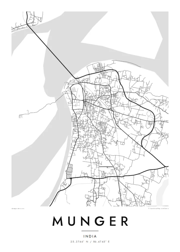
A riverside town pressed against the south bank of the Ganges, with an old moated fort at its water's edge.
One city, five moods
Tap a style to see it on the wall. Every style costs the same — printed, framed or as HD files.
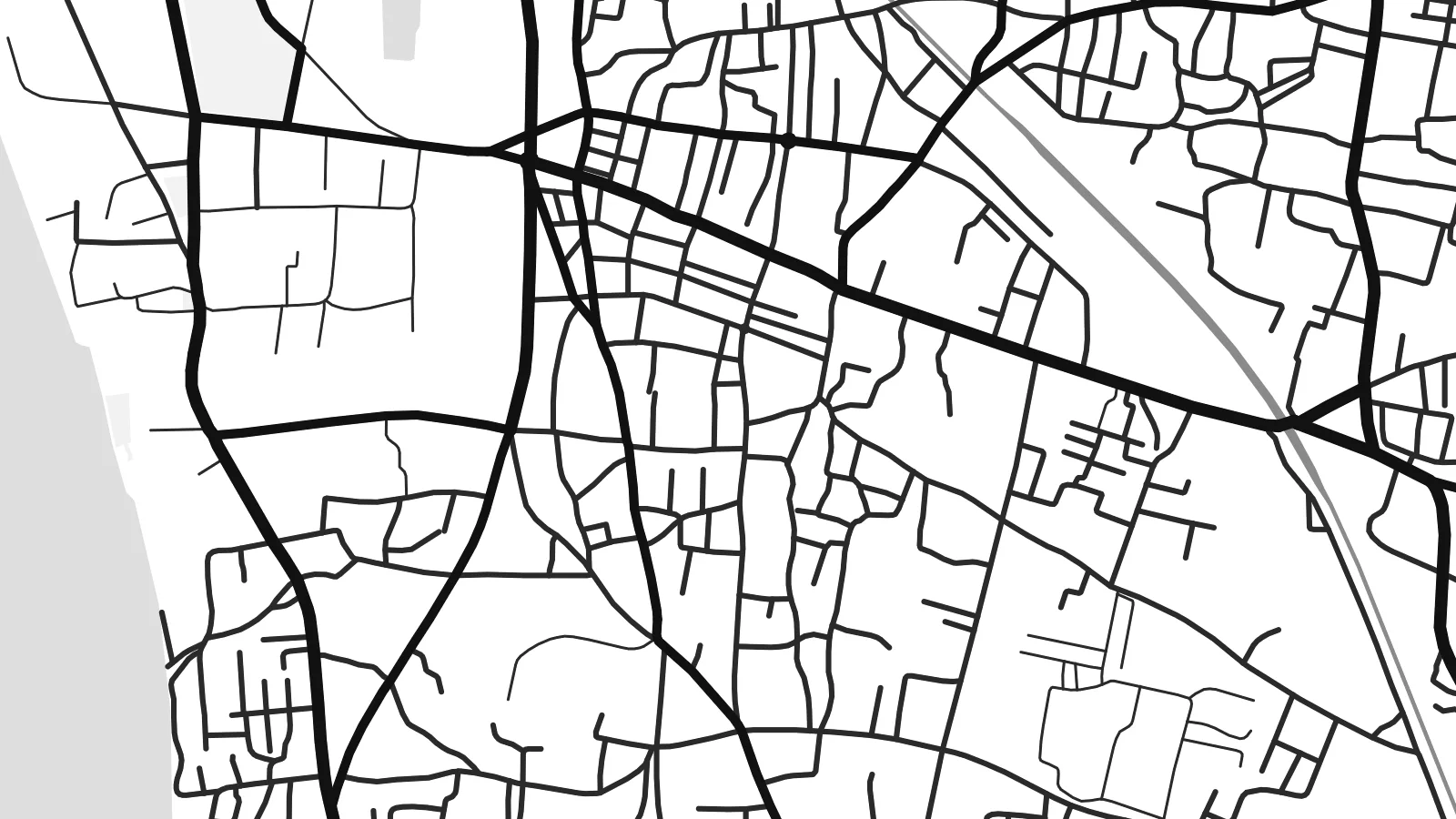 Actual pixels · 24 × 36″ print file
Print-sharp
This is a 100% crop of the real print file. Every poster — printed, framed or downloaded — is rendered on our servers at 300 DPI, up to 7,200 × 10,800 pixels, so even the smallest lanes stay crisp on a 24 × 36″ print.
On the wall


The map
Munger lies on the south bank of the Ganges in eastern Bihar, and the river shapes almost everything about its plan. The town stretches along the water rather than spreading evenly, with the broad channel and its sandbanks filling one side of the frame. Inland the streets become denser and less regular, gathering around markets, rail lines and the older neighbourhoods that grew up behind the riverfront.
The fort is the clearest mark on the map: a walled enclosure beside the river, ringed by a moat. It was a seat of power in the eighteenth century, when Mir Qasim, Nawab of Bengal, made Munger his capital. The town is also known for the Bihar School of Yoga, founded here in the 1960s, and for a long tradition of gun-making.
A Munger map poster captures the point where a crowded inland town meets one of the great rivers of South Asia. The newer Ganga bridge, carrying road and rail to the north bank, adds a long straight line across the water. It looks distinctly modern beside the older street pattern around the fort.
The old fort shows as a distinct enclosure on the riverbank. Its moat and gates form a clear geometric shape among the irregular streets around it.
The river runs along the edge of town in a wide, open band, with seasonal sandbars and channels that give the poster a large area of calm negative space.
A combined rail and road bridge crosses the Ganges near the town, drawing a single long line from Munger to the plains on the opposite bank.
Make it yours
Add a date, a name or a line of your own, switch style, size or orientation.
The free preview is low-resolution with a watermark. Prints and HD files are rendered at 300 DPI, up to 7,200 × 10,800 px, without a watermark.
Why Munger
For people from Munger, the map holds the ghats, the fort walls and the lanes leading back from the river. For yoga students who trained here, it marks a place of long practice. Either way, the combination of river and fort reads clearly on a wall.
Personalise the title, subtitle and coordinates line, then pick one of five styles, from Classic black & white to Blueprint or the warm tones of Sand. The files come in six print sizes as 300 DPI PNG and print-ready PDF, or you can order a printed matte poster.
Order the Munger poster| Print size | Resolution | Files |
|---|---|---|
| 30 × 40 cm11.8 × 15.7″ | 3,543 × 4,724 px | PNG · PDF |
| 29.7 × 42 cm (A3)11.7 × 16.5″ | 3,508 × 4,961 px | PNG · PDF |
| 42 × 59.4 cm (A2)16.5 × 23.4″ | 4,961 × 7,016 px | PNG · PDF |
| 45.7 × 61 cm18 × 24″ | 5,400 × 7,200 px | PNG · PDF |
| 50 × 70 cm19.7 × 27.6″ | 5,906 × 8,268 px | PNG · PDF |
| 61 × 91.4 cm24 × 36″ | 7,200 × 10,800 px | PNG · PDF |
For comparison, the free preview is 900 px wide, watermarked and meant for screens. The HD files have up to 8× the resolution in each direction and print cleanly at full poster size.
Pick a style at the top of the page, then choose Printed Poster — a size and, if you like, a frame — or Digital HD Files. Checkout takes one step, and your order page updates as soon as the payment goes through.
It is printed on premium 200 gsm matte paper in one of six sizes, from 30 × 40 cm to 24 × 36″. Printed posters start at $39, shipping included.
Yes. Choose a solid wood frame in black, white, natural oak or dark wood. It comes with shatterproof glazing and is ready to hang. Framed posters start at $99, shipping included.
Shipping is free to 60+ countries. Each poster is printed by the nearest of our print partners in 30+ countries and usually arrives in 3–7 business days. You can follow the status and tracking under My Orders. A few countries take 2–5 weeks, and where we don't ship yet, the site tells you before you pay.
Send us a photo within 14 days of delivery and we will reprint it for free or refund you.
Yes. In the editor on this page, change the title, the subtitle and the coordinates line to anything you like, and pick a style and size. Printed, framed and digital orders all use exactly your design.
For $9 you get 300 DPI PNG and print-ready PDF files in all six sizes, without a watermark, to print anywhere. Not sure yet? Download a free watermarked preview first.
Nearby
