Castle headland
A rounded promontory topped by the fortress divides the town's two harbours and gives the coastline its most recognisable shape.
Minimalist map poster · Greece
39.1077° N / 26.5553° E
An Aegean harbour town wrapped around a castle headland, with a port on each side and hills climbing behind.

One city, five moods
Tap a style to see it on the wall. Every style costs the same — printed, framed or as HD files.
 Actual pixels · 24 × 36″ print file
Print-sharp
This is a 100% crop of the real print file. Every poster — printed, framed or downloaded — is rendered on our servers at 300 DPI, up to 7,200 × 10,800 pixels, so even the smallest lanes stay crisp on a 24 × 36″ print.
On the wall

The map
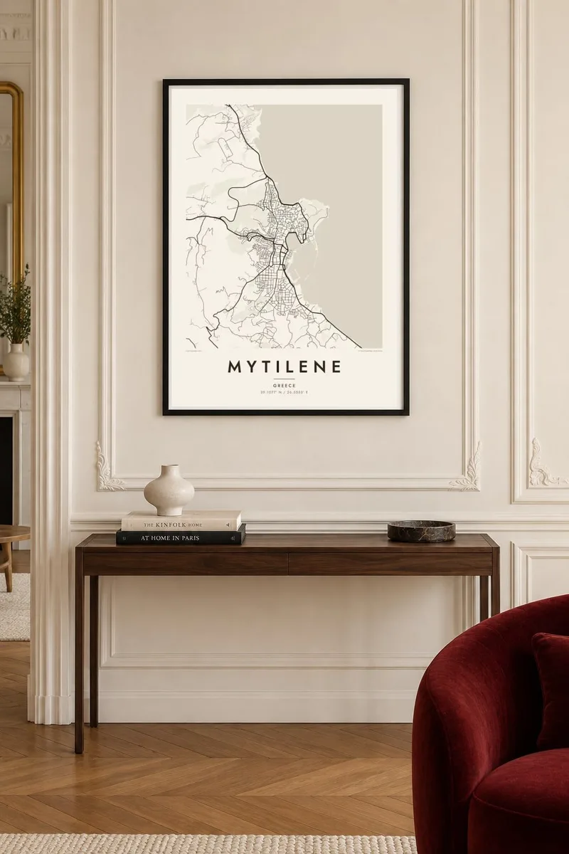
Mytilene is the main town and port of Lesbos, on the island's southeastern coast facing Turkey across a narrow strait. From above, its shape is unusual: a wooded headland crowned by a large castle points out to sea, with a harbour on either side of it. The old town fills the low ground behind the southern harbour, and newer districts climb the hills around it.
The town has been inhabited since antiquity, and the castle on the headland, rebuilt over the Byzantine, Genoese and Ottoman periods, is one of the largest in the eastern Mediterranean. The ancient theatre on the hill above the town is said to have inspired the design of the first stone theatre in Rome. Today Mytilene is also home to the University of the Aegean.
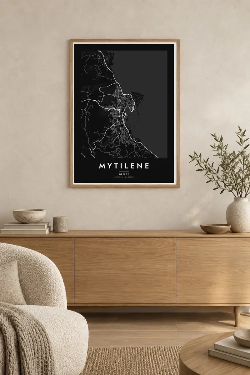
A Mytilene map poster shows the headland and its fortress, the curve of the busy southern harbour, the quieter northern port and the tangle of streets between them. The coastline gives the map a strong outline, and the hills add a steady spread of winding roads above the water.
A rounded promontory topped by the fortress divides the town's two harbours and gives the coastline its most recognisable shape.
The main southern port, where ferries arrive, and the smaller northern harbour sit on either side of the headland, each shaping its own waterfront.
Behind the waterfront, roads wind up the surrounding slopes, looser and more curved than the dense lanes of the old market quarter.
Make it yours
Add a date, a name or a line of your own, switch style, size or orientation.
The free preview is low-resolution with a watermark. Prints and HD files are rendered at 300 DPI, up to 7,200 × 10,800 px, without a watermark.
Why Mytilene
For islanders, students at the university and travellers who fell for Lesbos, a map of Mytilene is a strong reminder of the harbour at dusk and the castle above it. The coastline alone makes a memorable image.
The title, subtitle and coordinates line are yours to change. Add a name in Greek, a summer date or a short line. Choose Classic black and white, Noir, Paper, Blueprint or Sand. HD files cost $9, and printed posters on matte paper ship from partners in more than 30 countries.
Order the Mytilene poster| Print size | Resolution | Files |
|---|---|---|
| 30 × 40 cm11.8 × 15.7″ | 3,543 × 4,724 px | PNG · PDF |
| 29.7 × 42 cm (A3)11.7 × 16.5″ | 3,508 × 4,961 px | PNG · PDF |
| 42 × 59.4 cm (A2)16.5 × 23.4″ | 4,961 × 7,016 px | PNG · PDF |
| 45.7 × 61 cm18 × 24″ | 5,400 × 7,200 px | PNG · PDF |
| 50 × 70 cm19.7 × 27.6″ | 5,906 × 8,268 px | PNG · PDF |
| 61 × 91.4 cm24 × 36″ | 7,200 × 10,800 px | PNG · PDF |
For comparison, the free preview is 900 px wide, watermarked and meant for screens. The HD files have up to 8× the resolution in each direction and print cleanly at full poster size.
Pick a style at the top of the page, then choose Printed Poster — a size and, if you like, a frame — or Digital HD Files. Checkout takes one step, and your order page updates as soon as the payment goes through.
It is printed on premium 200 gsm matte paper in one of six sizes, from 30 × 40 cm to 24 × 36″. Printed posters start at $39, shipping included.
Yes. Choose a solid wood frame in black, white, natural oak or dark wood. It comes with shatterproof glazing and is ready to hang. Framed posters start at $99, shipping included.
Shipping is free to 60+ countries. Each poster is printed by the nearest of our print partners in 30+ countries and usually arrives in 3–7 business days. You can follow the status and tracking under My Orders. A few countries take 2–5 weeks, and where we don't ship yet, the site tells you before you pay.
Send us a photo within 14 days of delivery and we will reprint it for free or refund you.
Yes. In the editor on this page, change the title, the subtitle and the coordinates line to anything you like, and pick a style and size. Printed, framed and digital orders all use exactly your design.
For $9 you get 300 DPI PNG and print-ready PDF files in all six sizes, without a watermark, to print anywhere. Not sure yet? Download a free watermarked preview first.
Nearby
