The Ironbound
Hemmed in by rail lines east of Penn Station, this neighbourhood of small, dense blocks is known for Portuguese and Brazilian restaurants. On the map it forms a compact, intricately gridded pocket.
Minimalist map poster · United States
40.7357° N / 74.1724° W
A dense old industrial grid on the Passaic River, bordered by Newark Bay's port, an airport and marshland toward the east.

One city, five moods
Tap a style to see it on the wall. Every style costs the same — printed, framed or as HD files.
 Actual pixels · 24 × 36″ print file
Print-sharp
This is a 100% crop of the real print file. Every poster — printed, framed or downloaded — is rendered on our servers at 300 DPI, up to 7,200 × 10,800 pixels, so even the smallest lanes stay crisp on a 24 × 36″ print.
On the wall
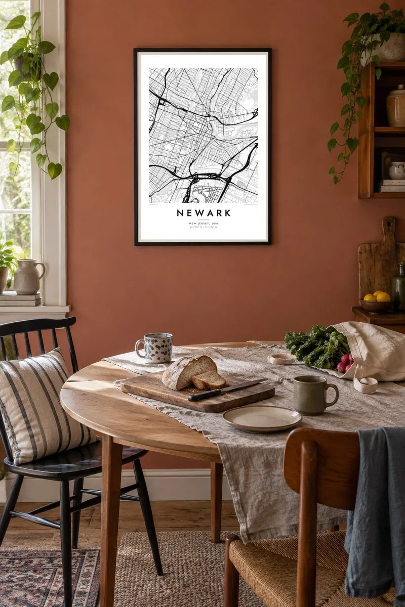


The map
Newark is New Jersey's largest city, set on a bend of the Passaic River a few miles west of Manhattan. Its map is built in layers. The downtown sits along the river, where Broad Street and Market Street meet at the historic Four Corners. To the east, the land flattens into industrial zones, rail yards and the wide shipping channels of Newark Bay.
The south-eastern edge of the city is dominated by Newark Liberty International Airport and the Port Newark–Elizabeth Marine Terminal, one of the largest container ports on the East Coast. Between the downtown and the port lies the Ironbound, a close-knit neighbourhood enclosed by railway lines and long associated with Portuguese and Brazilian communities.
A Newark map poster brings these pieces into one frame: the tight grid of the Ironbound, the straight runways and piers of the airport and port, and the long green strip of Branch Brook Park in the north, known for its cherry blossoms. In black and white the city reads as a working hub where infrastructure and neighbourhoods fit tightly together.
Hemmed in by rail lines east of Penn Station, this neighbourhood of small, dense blocks is known for Portuguese and Brazilian restaurants. On the map it forms a compact, intricately gridded pocket.
The runways and container terminals along Newark Bay create the largest geometric shapes on the poster, a mass of straight lines and piers that frames the city's south-eastern edge.
This long, narrow park in the north of the city holds a large collection of cherry trees. In the street pattern it appears as a winding green corridor between residential grids.
Make it yours
Add a date, a name or a line of your own, switch style, size or orientation.
The free preview is low-resolution with a watermark. Prints and HD files are rendered at 300 DPI, up to 7,200 × 10,800 px, without a watermark.
Why Newark
Newark holds deep memories for people who grew up in its wards, worked at the port or airport, studied at Rutgers–Newark or NJIT, or ate their way through the Ironbound. The map shows the city as a coherent whole, which is not always how it is seen from the highway.
Personalise the title, subtitle and coordinates line with a ward, a street or a date that matters to you. The design comes in five styles, including Classic black & white and Noir, as $9 HD files in 18×24″, 24×36″ and four other sizes, or as a matte print with an optional wooden frame.
Order the Newark poster| Print size | Resolution | Files |
|---|---|---|
| 30 × 40 cm11.8 × 15.7″ | 3,543 × 4,724 px | PNG · PDF |
| 29.7 × 42 cm (A3)11.7 × 16.5″ | 3,508 × 4,961 px | PNG · PDF |
| 42 × 59.4 cm (A2)16.5 × 23.4″ | 4,961 × 7,016 px | PNG · PDF |
| 45.7 × 61 cm18 × 24″ | 5,400 × 7,200 px | PNG · PDF |
| 50 × 70 cm19.7 × 27.6″ | 5,906 × 8,268 px | PNG · PDF |
| 61 × 91.4 cm24 × 36″ | 7,200 × 10,800 px | PNG · PDF |
For comparison, the free preview is 900 px wide, watermarked and meant for screens. The HD files have up to 8× the resolution in each direction and print cleanly at full poster size.
Pick a style at the top of the page, then choose Printed Poster — a size and, if you like, a frame — or Digital HD Files. Checkout takes one step, and your order page updates as soon as the payment goes through.
It is printed on premium 200 gsm matte paper in one of six sizes, from 30 × 40 cm to 24 × 36″. Printed posters start at $39, shipping included.
Yes. Choose a solid wood frame in black, white, natural oak or dark wood. It comes with shatterproof glazing and is ready to hang. Framed posters start at $99, shipping included.
Shipping is free to 60+ countries. Each poster is printed by the nearest of our print partners in 30+ countries and usually arrives in 3–7 business days. You can follow the status and tracking under My Orders. A few countries take 2–5 weeks, and where we don't ship yet, the site tells you before you pay.
Send us a photo within 14 days of delivery and we will reprint it for free or refund you.
Yes. In the editor on this page, change the title, the subtitle and the coordinates line to anything you like, and pick a style and size. Printed, framed and digital orders all use exactly your design.
For $9 you get 300 DPI PNG and print-ready PDF files in all six sizes, without a watermark, to print anywhere. Not sure yet? Download a free watermarked preview first.
Nearby
