Bay waterfront
The western shore curves around small coves and headlands facing Rio. Ferry terminals and the bridge approach mark where the city meets the bay.
Minimalist map poster · Brazil
22.8833° S / 43.1036° W
A bayside city facing Rio across Guanabara Bay, with ocean beaches and lagoons on its southern shore

One city, five moods
Tap a style to see it on the wall. Every style costs the same — printed, framed or as HD files.
 Actual pixels · 24 × 36″ print file
Print-sharp
This is a 100% crop of the real print file. Every poster — printed, framed or downloaded — is rendered on our servers at 300 DPI, up to 7,200 × 10,800 pixels, so even the smallest lanes stay crisp on a 24 × 36″ print.
On the wall

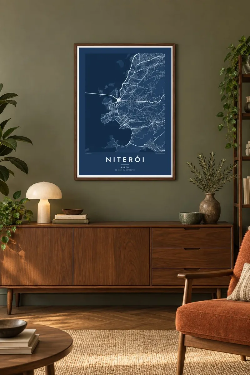
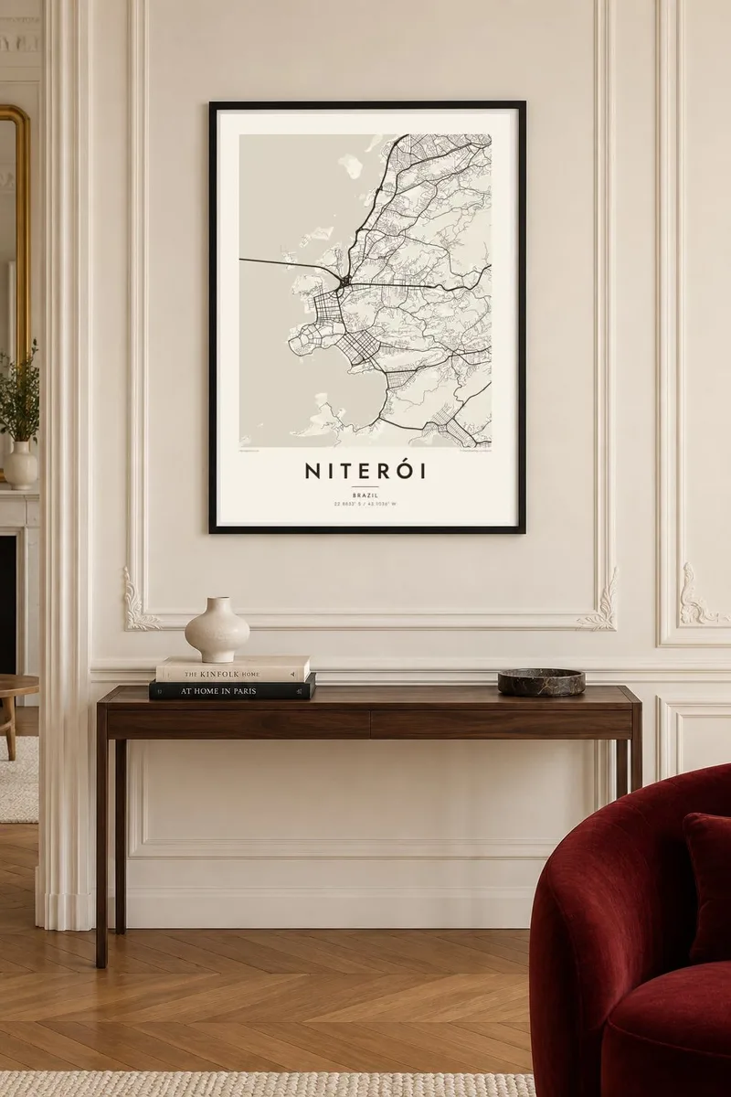
The map
Niterói lies on the eastern side of the entrance to Guanabara Bay, directly across the water from Rio de Janeiro. The centre and the older districts face the bay, with a curving waterfront, ferry terminals and small beaches tucked between rocky points. Steep, forested hills rise behind them and divide the city into separate valleys.
The Rio–Niterói Bridge, about 13 kilometres long, crosses the bay from the northern side of the city, and ferries still run across to central Rio. On a hill above the water stands Oscar Niemeyer's Museum of Contemporary Art, a round white building that looks out over the bay. Niterói served as the capital of the old state of Rio de Janeiro until 1975.
A Niterói map poster shows two very different coastlines. On the bay side the city is dense and continuous. On the Atlantic side, to the southeast, the Piratininga and Itaipu lagoons sit behind long beaches, and neighbourhoods spread out more loosely between the hills and the ocean. The contrast makes for an unusually varied map.
The western shore curves around small coves and headlands facing Rio. Ferry terminals and the bridge approach mark where the city meets the bay.
One of the longest bridges in the southern hemisphere, running across the bay in a long straight line from the north of the city.
Near the Atlantic, the Piratininga and Itaipu lagoons lie behind sandy beaches. Their soft, rounded shapes stand out in the southern part of the poster.
Make it yours
Add a date, a name or a line of your own, switch style, size or orientation.
The free preview is low-resolution with a watermark. Prints and HD files are rendered at 300 DPI, up to 7,200 × 10,800 px, without a watermark.
Why Niterói
Niterói is often overshadowed by Rio, but people who live there know its bay views and beaches well. A map shows both shores together and makes a thoughtful gift for someone who commutes across the bridge every day.
Edit the title, add a date or a bairro in the subtitle, and adjust the coordinates. Choose one of five styles: Classic black & white, Noir, Paper, Blueprint or Sand. Blueprint brings out the bay and the lagoons especially well.
Order the Niterói poster| Print size | Resolution | Files |
|---|---|---|
| 30 × 40 cm11.8 × 15.7″ | 3,543 × 4,724 px | PNG · PDF |
| 29.7 × 42 cm (A3)11.7 × 16.5″ | 3,508 × 4,961 px | PNG · PDF |
| 42 × 59.4 cm (A2)16.5 × 23.4″ | 4,961 × 7,016 px | PNG · PDF |
| 45.7 × 61 cm18 × 24″ | 5,400 × 7,200 px | PNG · PDF |
| 50 × 70 cm19.7 × 27.6″ | 5,906 × 8,268 px | PNG · PDF |
| 61 × 91.4 cm24 × 36″ | 7,200 × 10,800 px | PNG · PDF |
For comparison, the free preview is 900 px wide, watermarked and meant for screens. The HD files have up to 8× the resolution in each direction and print cleanly at full poster size.
Pick a style at the top of the page, then choose Printed Poster — a size and, if you like, a frame — or Digital HD Files. Checkout takes one step, and your order page updates as soon as the payment goes through.
It is printed on premium 200 gsm matte paper in one of six sizes, from 30 × 40 cm to 24 × 36″. Printed posters start at $39, shipping included.
Yes. Choose a solid wood frame in black, white, natural oak or dark wood. It comes with shatterproof glazing and is ready to hang. Framed posters start at $99, shipping included.
Shipping is free to 60+ countries. Each poster is printed by the nearest of our print partners in 30+ countries and usually arrives in 3–7 business days. You can follow the status and tracking under My Orders. A few countries take 2–5 weeks, and where we don't ship yet, the site tells you before you pay.
Send us a photo within 14 days of delivery and we will reprint it for free or refund you.
Yes. In the editor on this page, change the title, the subtitle and the coordinates line to anything you like, and pick a style and size. Printed, framed and digital orders all use exactly your design.
For $9 you get 300 DPI PNG and print-ready PDF files in all six sizes, without a watermark, to print anywhere. Not sure yet? Download a free watermarked preview first.
Nearby
