Óbuda Island
The long island in the Danube, once a shipyard, lies parallel to the western bank. With its narrow side channel, it forms a distinctive double line of water.
Minimalist map poster · Hungary
47.5407° N / 19.0386° E
Budapest's northern riverside, with a long island in the Danube, Roman ruins and streets climbing into the Buda Hills.

One city, five moods
Tap a style to see it on the wall. Every style costs the same — printed, framed or as HD files.
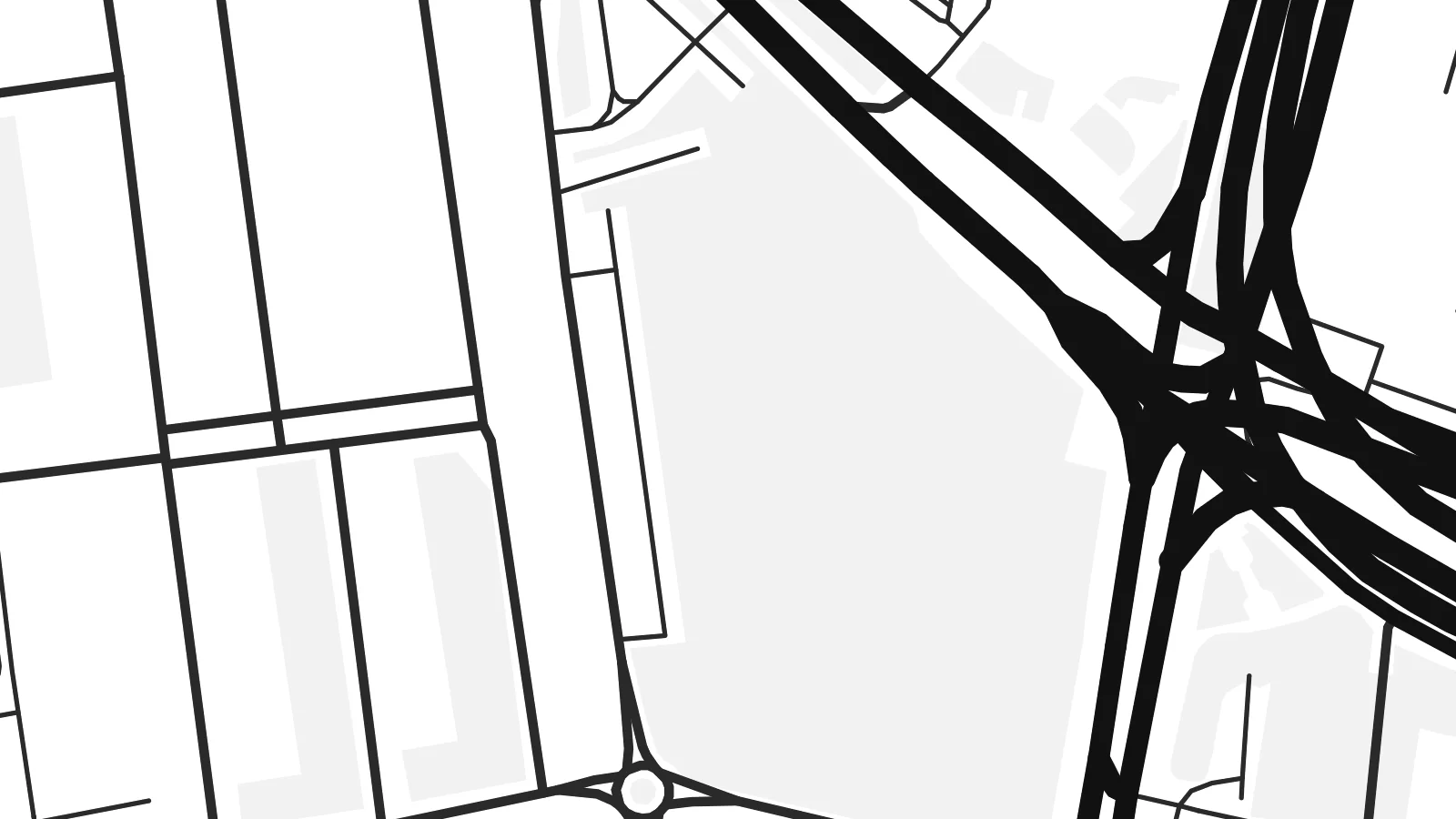 Actual pixels · 24 × 36″ print file
Print-sharp
This is a 100% crop of the real print file. Every poster — printed, framed or downloaded — is rendered on our servers at 300 DPI, up to 7,200 × 10,800 pixels, so even the smallest lanes stay crisp on a 24 × 36″ print.
On the wall


The district
Óbuda, meaning Old Buda, was a separate town until 1873, when it joined Buda and Pest to form Budapest. Today it is District III on the west bank of the Danube, stretching north from the Árpád Bridge towards the city limits. On a map it spreads between the straight line of the river and the rising ground of the hills to the west.
The riverside is its strongest feature. Óbuda Island lies just offshore. It was long used as a shipyard and is now known as the home of the Sziget Festival. The suburban HÉV railway runs parallel to the water. Inland, a small historic core around Fő tér survives beside large housing estates, and the street pattern loosens as it climbs westward into wooded slopes.
Long before Budapest existed, this was Aquincum, the Roman town that served as the capital of the province of Pannonia Inferior. Its remains, including two amphitheatres, are still visible among modern streets. An Óbuda map poster shows those layers clearly, with ancient sites, Danube channels, bridges and hillside lanes held in a single frame.
The long island in the Danube, once a shipyard, lies parallel to the western bank. With its narrow side channel, it forms a distinctive double line of water.
Roman ruins appear as open plots within the street pattern, from the site of the civil town in the north to the military amphitheatre closer to the centre.
Budapest's longest bridge crosses the Danube and the northern tip of Margaret Island here, a strong horizontal line at the southern edge of the district.
Make it yours
Add a date, a name or a line of your own, switch style, size or orientation.
The free preview is low-resolution with a watermark. Prints and HD files are rendered at 300 DPI, up to 7,200 × 10,800 px, without a watermark.
Why Óbuda
Óbuda suits people who know Budapest beyond its postcard centre: those who lived near Flórián tér, came for the festival or walked the Roman sites. The river and the island give the print a clean structure that holds up at any of the six print sizes.
Rename it, add a subtitle such as the district number or a date, and set the coordinates line as you like. Then choose Classic black & white, Noir, Paper, Blueprint or Sand. Download the HD files for $9, or order a matte print with an optional wooden frame.
Order the Óbuda poster| Print size | Resolution | Files |
|---|---|---|
| 30 × 40 cm11.8 × 15.7″ | 3,543 × 4,724 px | PNG · PDF |
| 29.7 × 42 cm (A3)11.7 × 16.5″ | 3,508 × 4,961 px | PNG · PDF |
| 42 × 59.4 cm (A2)16.5 × 23.4″ | 4,961 × 7,016 px | PNG · PDF |
| 45.7 × 61 cm18 × 24″ | 5,400 × 7,200 px | PNG · PDF |
| 50 × 70 cm19.7 × 27.6″ | 5,906 × 8,268 px | PNG · PDF |
| 61 × 91.4 cm24 × 36″ | 7,200 × 10,800 px | PNG · PDF |
For comparison, the free preview is 900 px wide, watermarked and meant for screens. The HD files have up to 8× the resolution in each direction and print cleanly at full poster size.
Pick a style at the top of the page, then choose Printed Poster — a size and, if you like, a frame — or Digital HD Files. Checkout takes one step, and your order page updates as soon as the payment goes through.
It is printed on premium 200 gsm matte paper in one of six sizes, from 30 × 40 cm to 24 × 36″. Printed posters start at $39, shipping included.
Yes. Choose a solid wood frame in black, white, natural oak or dark wood. It comes with shatterproof glazing and is ready to hang. Framed posters start at $99, shipping included.
Shipping is free to 60+ countries. Each poster is printed by the nearest of our print partners in 30+ countries and usually arrives in 3–7 business days. You can follow the status and tracking under My Orders. A few countries take 2–5 weeks, and where we don't ship yet, the site tells you before you pay.
Send us a photo within 14 days of delivery and we will reprint it for free or refund you.
Yes. In the editor on this page, change the title, the subtitle and the coordinates line to anything you like, and pick a style and size. Printed, framed and digital orders all use exactly your design.
For $9 you get 300 DPI PNG and print-ready PDF files in all six sizes, without a watermark, to print anywhere. Not sure yet? Download a free watermarked preview first.
Nearby
